- Location
- Never Far From Nowhere
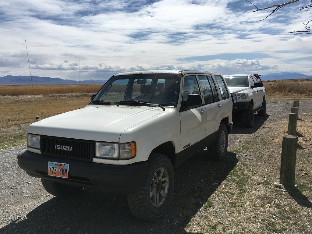
In a world dominated by coronavirus news, self-quarantining, social distancing, and public health orders, I needed a sense of normalcy; which meant getting away from the house and into the desert. Saturday morning, myself, Heather, Scott and his family headed out on the Pony Express Trail just to leave the zip code for a day.
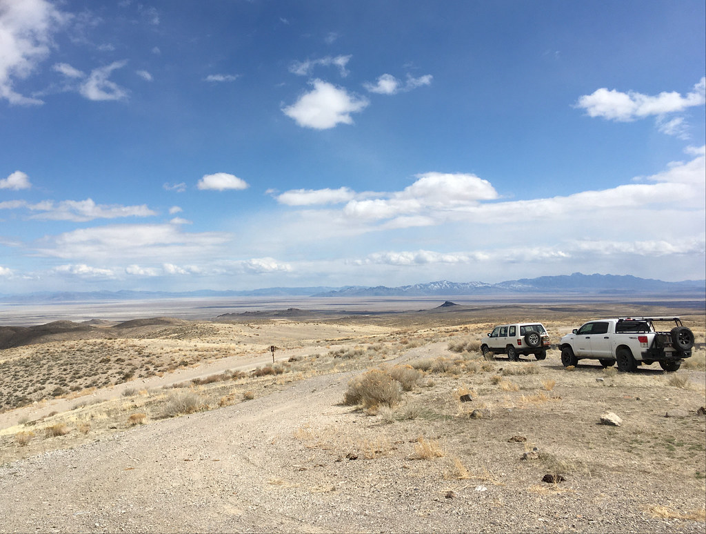
After navigating the ugly urban sprawl that is pushing further and further west towards Cedar Fort we connected with the PET right outside of Five Mile Pass. It was cloudy and brisk, but that makes for some of the most beautiful vista’s out in the west desert!

I’ve driven the PET from 5MP to the Nevada line at least a dozen times, and when we came to our first stop at Simpson Springs I was surprised at how many people were there. In all the times I’ve been out there, I’ve never seen more than a couple cars (unless they were part of our group). Saturday when we pulled in there were seven cars and another four and two motorcycles rolled in while we were there! I guess that we weren’t the only ones with the idea of putting a little gravel under our tires.

We poked around Simpson springs for a minute, read the plaques and interpretive signs. But with people slowly trickling out of the parking area, I didn’t want to get stuck behind a bunch of slow minivans.


We loaded up and headed on west only to find ourselves stuck behind a rental “adventure” van doing about 10 mph on the washboard road. After several miles of trying to get their attention by flashing my lights at them to pull over and let faster vehicles pass them; I finally pulled around them at speed, which is never ideal. The driver looked terrified as I went by!
We cruised along for a while just enjoying the road and scenery.

We came across two minivans full of people stopped on the side of the road about ten miles to Fish Springs. They flagged us down and asked how to get to the Dugway Geode Beds. I gave them directions to head back the way they came about ten miles and as they turned around with their fully loaded vehicles, I couldn’t help but wonder if their tires were up to the task.
Our next stop was lunch at Fish Springs. I’ve always thought that Fish Springs was an odd oasis out in the desert with its clear blue ponds and green vegetation. But here in early spring, it was pretty brown and dull. And with the wind blowing, rather cold. But it was nice to get out of the cars and stretch our legs for a bit and let Scott’s kids run around.

After lunch we continued west through the town of Callao, which has sadly painted over the hump portion of the “Do Not Hump” signs of the old Shuttle Booster train cars that are out there. Probably because whoever owns them got tired of people climbing his fences for selfies.
After going through town we stopped again at the Callao CCC camp. Stopping here always makes me think about what it must have been like during the Depression to be out there working in the Deep Creeks on irrigation projects. Heather and I wandered around the camp and found the remains of old bottles and plates, checked out the foundations, and couldn’t help but postulate if because of the world’s current situation could there be another CCC or WPA like situation on the horizon? I hope not, but maybe we’ll see camps like this again at infrastructure projects across the country in the coming years.

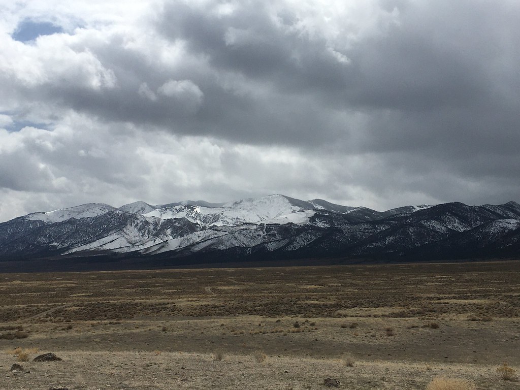
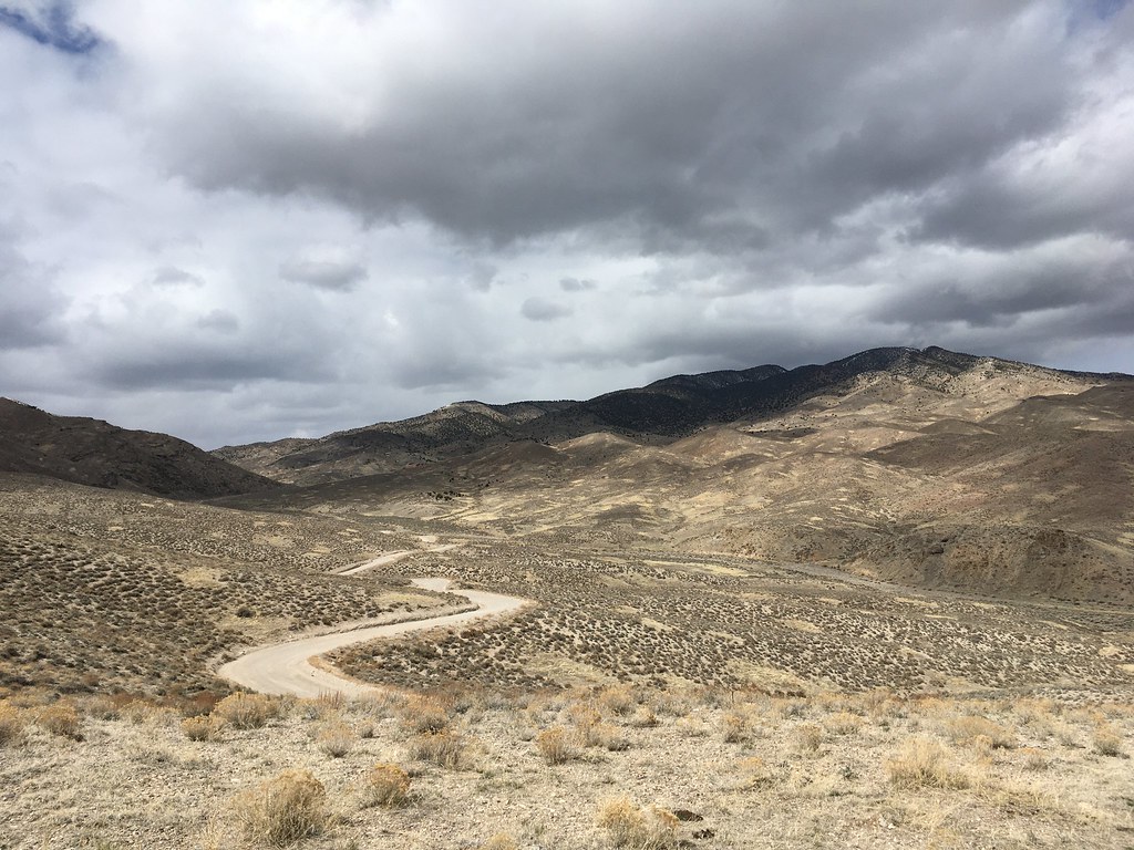
From the CCC Camp we made our way to Overland Canyon and the Canyon Station. This is one of my favorite stops on the PET, partially because of the story of how the original station was attacked and burned by Indians and then rebuild as a fortified round building with gun slots. But mainly it’s for the views. A beautiful winding road up into the canyon, breathtaking wide open expanses, and the imposing snowcapped Deep Creeks.


We wound our way up through Overland Canyon and then down the other side before connecting with BIA 1 where we aired up our tires and then turned north to Wendover. Driving through Wendover with all the casino’s closed was a bit eerie. Or as Scott observed, “Makes it look even shittier than usual.”
On the way home along I-80 we passed the Salt Flats rest area and it was PACKED! I’ve never seen so many people there! And there were five cars that had driven out onto the flats from the rest area. For their sake I hope they didn’t get stuck in the salt, that’s a hefty tow bill! But if they did, serves ‘em right.
It was great to just leave the zip code for a day, even if it was just a quick trip. Hopefully in another weekend or so well take another “pleasure drive” (as is allowed by the various health orders). But until then, we’ve resumed our now normal lives of hiding in our house.
After navigating the ugly urban sprawl that is pushing further and further west towards Cedar Fort we connected with the PET right outside of Five Mile Pass. It was cloudy and brisk, but that makes for some of the most beautiful vista’s out in the west desert!

I’ve driven the PET from 5MP to the Nevada line at least a dozen times, and when we came to our first stop at Simpson Springs I was surprised at how many people were there. In all the times I’ve been out there, I’ve never seen more than a couple cars (unless they were part of our group). Saturday when we pulled in there were seven cars and another four and two motorcycles rolled in while we were there! I guess that we weren’t the only ones with the idea of putting a little gravel under our tires.

We poked around Simpson springs for a minute, read the plaques and interpretive signs. But with people slowly trickling out of the parking area, I didn’t want to get stuck behind a bunch of slow minivans.


We loaded up and headed on west only to find ourselves stuck behind a rental “adventure” van doing about 10 mph on the washboard road. After several miles of trying to get their attention by flashing my lights at them to pull over and let faster vehicles pass them; I finally pulled around them at speed, which is never ideal. The driver looked terrified as I went by!
We cruised along for a while just enjoying the road and scenery.

We came across two minivans full of people stopped on the side of the road about ten miles to Fish Springs. They flagged us down and asked how to get to the Dugway Geode Beds. I gave them directions to head back the way they came about ten miles and as they turned around with their fully loaded vehicles, I couldn’t help but wonder if their tires were up to the task.
Our next stop was lunch at Fish Springs. I’ve always thought that Fish Springs was an odd oasis out in the desert with its clear blue ponds and green vegetation. But here in early spring, it was pretty brown and dull. And with the wind blowing, rather cold. But it was nice to get out of the cars and stretch our legs for a bit and let Scott’s kids run around.

After lunch we continued west through the town of Callao, which has sadly painted over the hump portion of the “Do Not Hump” signs of the old Shuttle Booster train cars that are out there. Probably because whoever owns them got tired of people climbing his fences for selfies.
After going through town we stopped again at the Callao CCC camp. Stopping here always makes me think about what it must have been like during the Depression to be out there working in the Deep Creeks on irrigation projects. Heather and I wandered around the camp and found the remains of old bottles and plates, checked out the foundations, and couldn’t help but postulate if because of the world’s current situation could there be another CCC or WPA like situation on the horizon? I hope not, but maybe we’ll see camps like this again at infrastructure projects across the country in the coming years.

From the CCC Camp we made our way to Overland Canyon and the Canyon Station. This is one of my favorite stops on the PET, partially because of the story of how the original station was attacked and burned by Indians and then rebuild as a fortified round building with gun slots. But mainly it’s for the views. A beautiful winding road up into the canyon, breathtaking wide open expanses, and the imposing snowcapped Deep Creeks.


We wound our way up through Overland Canyon and then down the other side before connecting with BIA 1 where we aired up our tires and then turned north to Wendover. Driving through Wendover with all the casino’s closed was a bit eerie. Or as Scott observed, “Makes it look even shittier than usual.”
On the way home along I-80 we passed the Salt Flats rest area and it was PACKED! I’ve never seen so many people there! And there were five cars that had driven out onto the flats from the rest area. For their sake I hope they didn’t get stuck in the salt, that’s a hefty tow bill! But if they did, serves ‘em right.
It was great to just leave the zip code for a day, even if it was just a quick trip. Hopefully in another weekend or so well take another “pleasure drive” (as is allowed by the various health orders). But until then, we’ve resumed our now normal lives of hiding in our house.
