- Location
- West Bountiful, UT
I was lucky enough to get an invite from Randy to join him on his annual Memorial Day trip to the Maze this year.
Three rigs, Randy and Diane in his new JK, Marty in his Liberty and me in my old LJ.
I arrived at the first camp, the Happy Canyon camp on Big Ridge, late Thur. afternoon, where Marty was already waiting. Randy and Diane pulled in just at dark. It was windy and cold so we all turned in early.
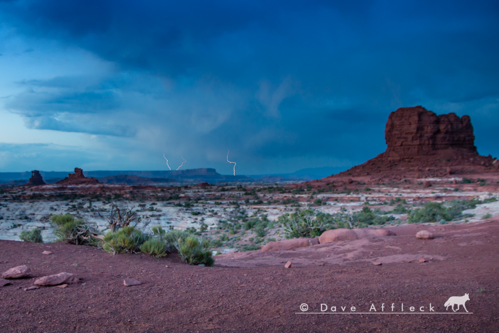
A view from behind camp down into the S. fork of Happy on Thur. evening.
Friday morning we got an early start, with Doll House camp #3 being our destination. I've been out on Big Ridge a few miles before, but was interested to see just how far the road still goes. So, I talked Randy and Marty into it and we set off to explore Big Ridge first thing.
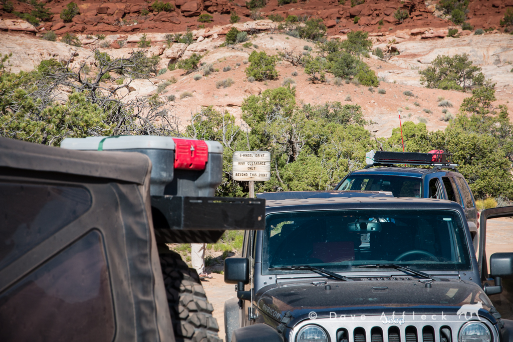
After about 10 miles, near Two Pipe Spring, the road started getting pretty sketchy, and it could have easily taken a couple more hours to finish exploring it, so we decided to turn around and call it good at that point.
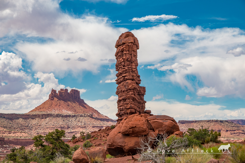
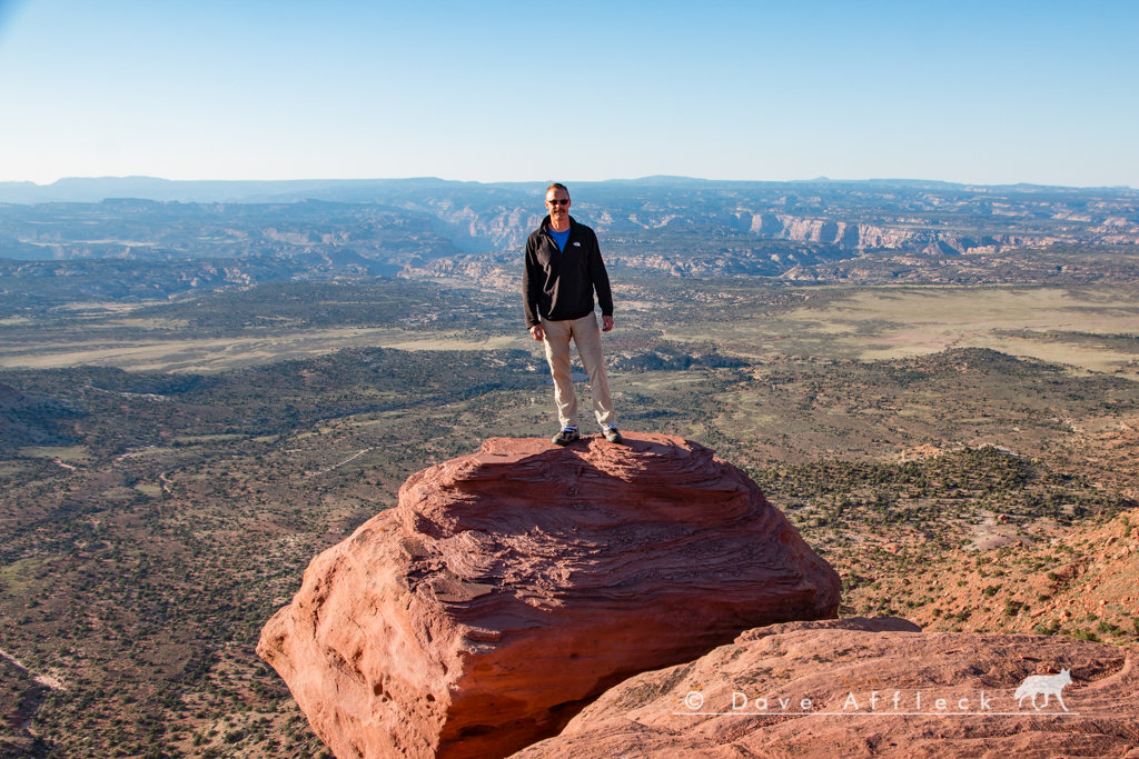
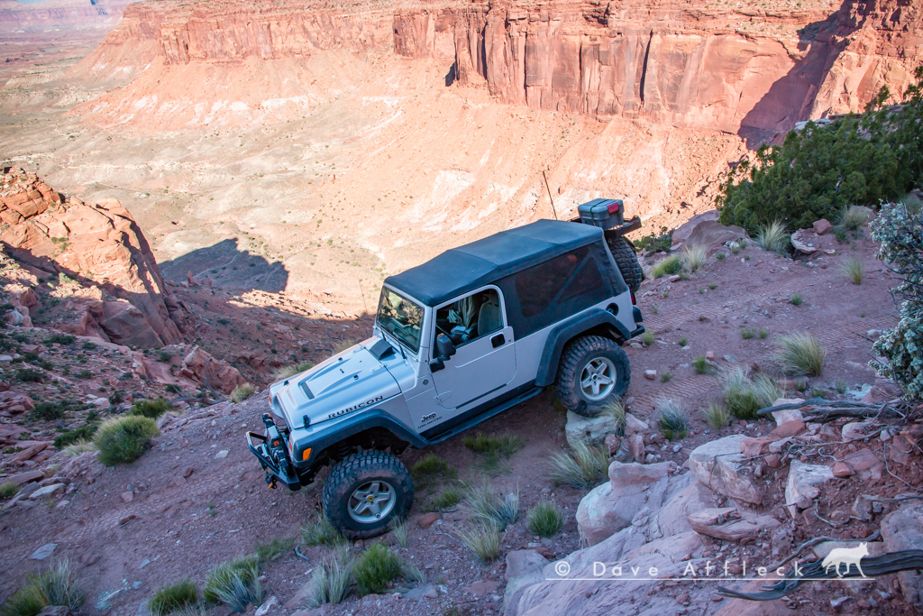
Couple pics from Big Ridge.
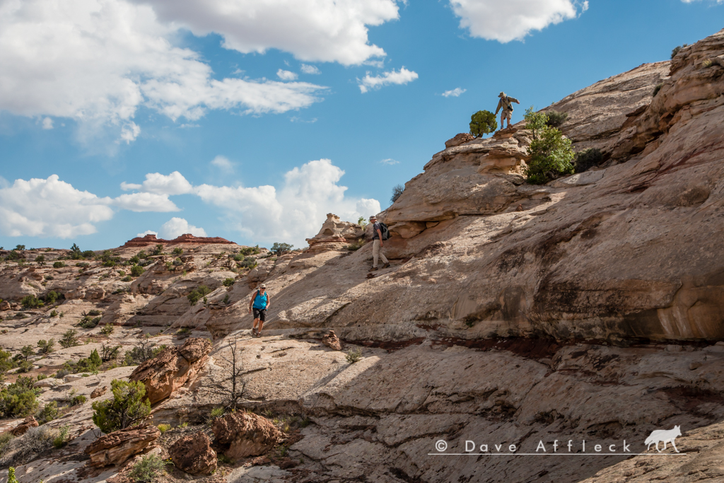
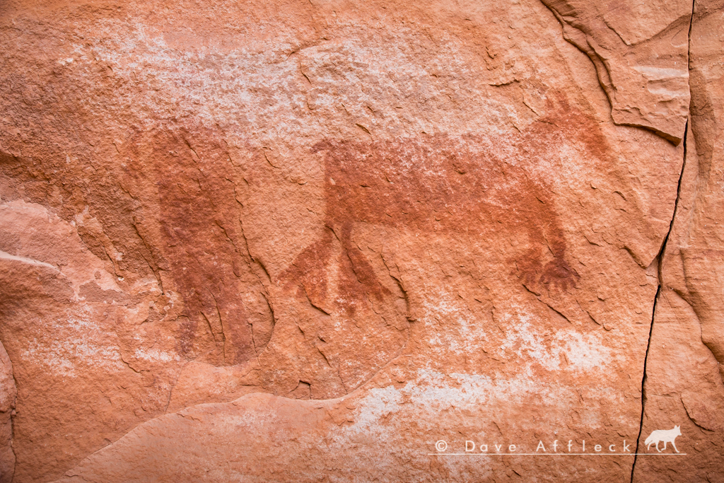
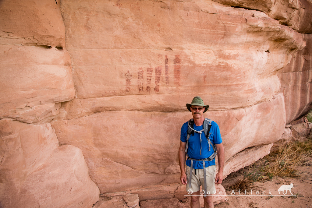
From there, it was the familiar drive out to the Land of Standing Rocks and the Dollhouse. At one point, we went for a hike to look for rock art and found several interesting panels. Few pics...
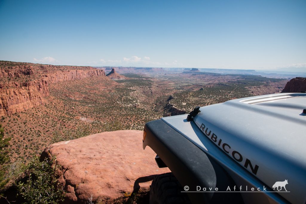
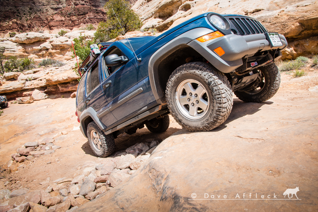
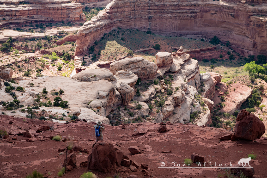
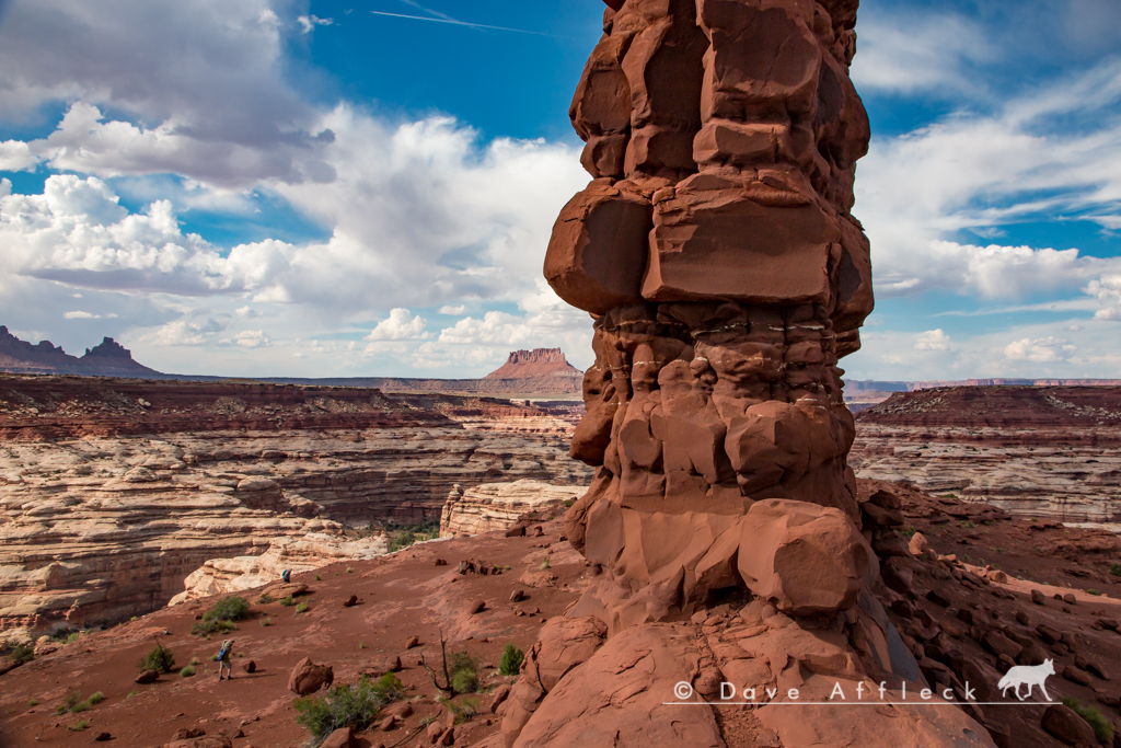
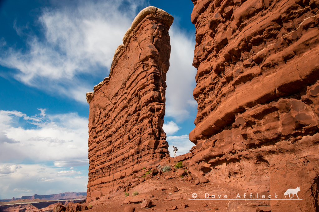
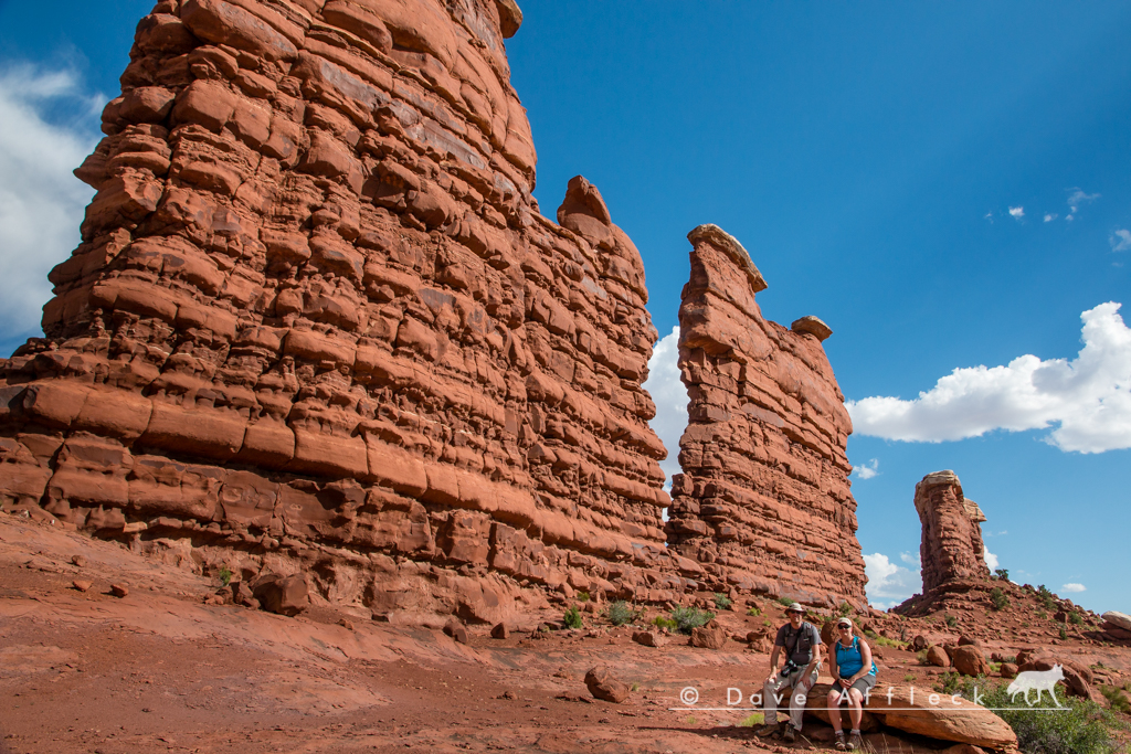
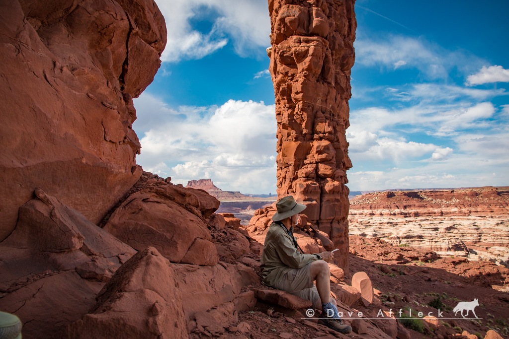
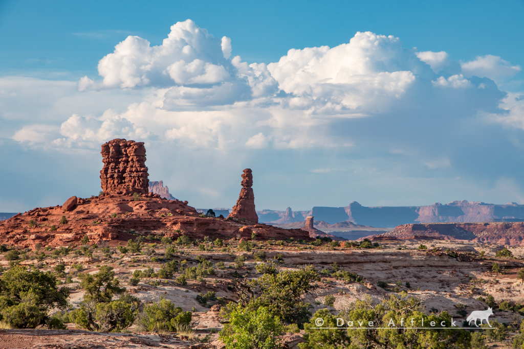
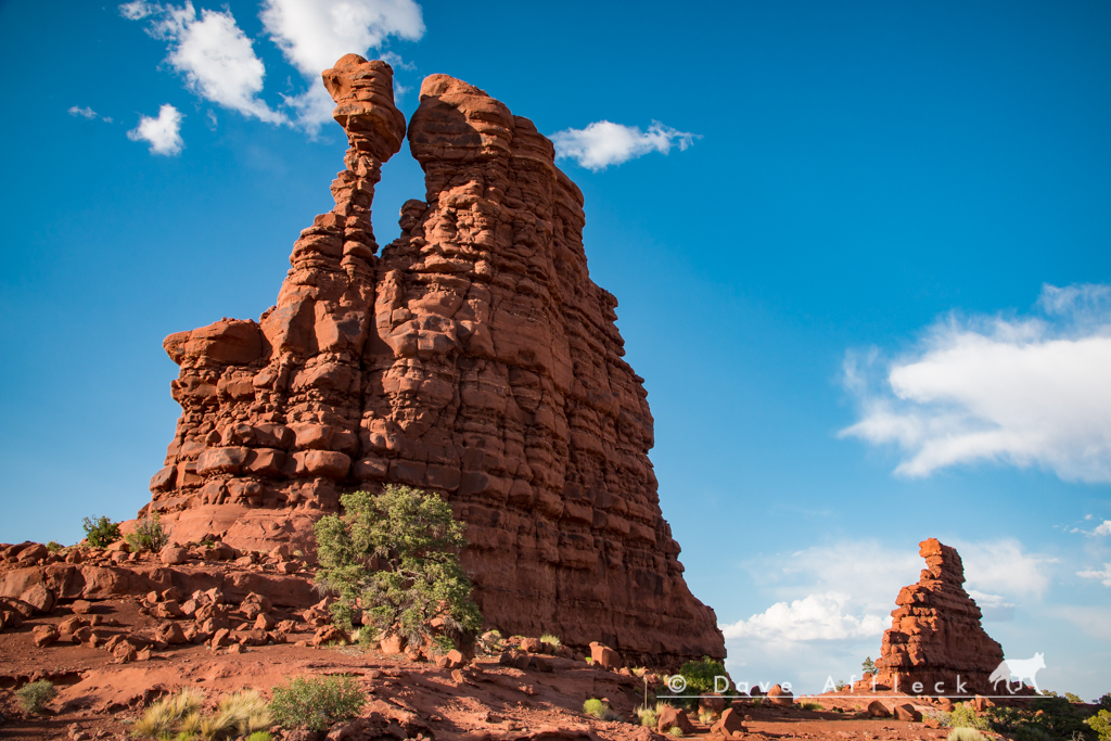
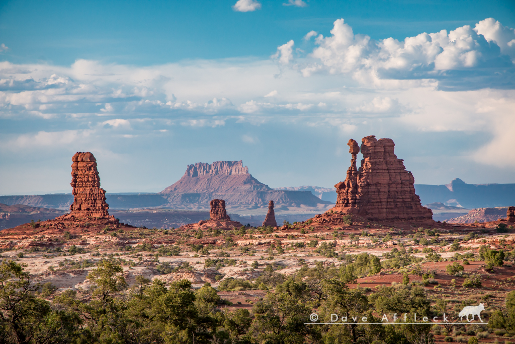
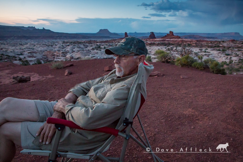
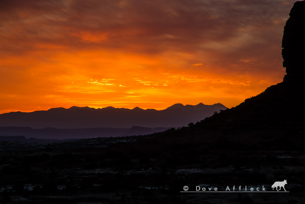
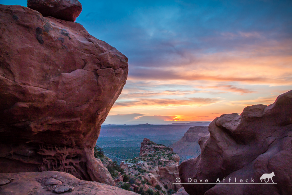
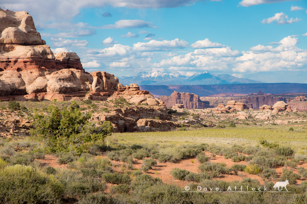
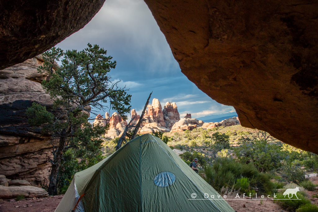
We were treated to some nice light and spectacular views around camp that afternoon and evening.
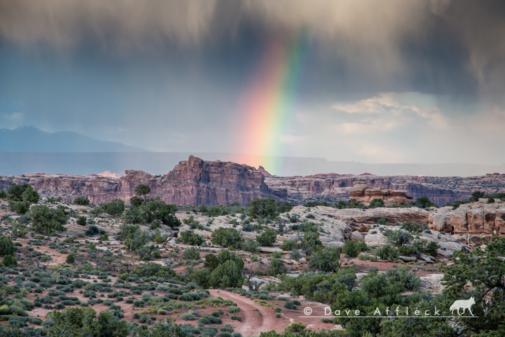
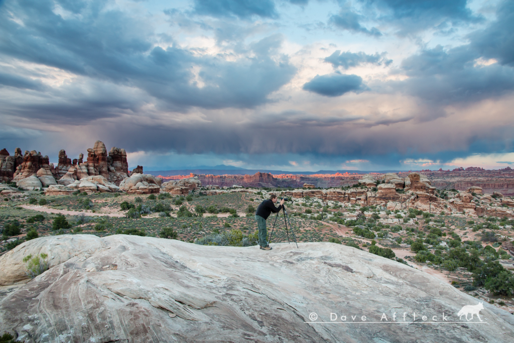
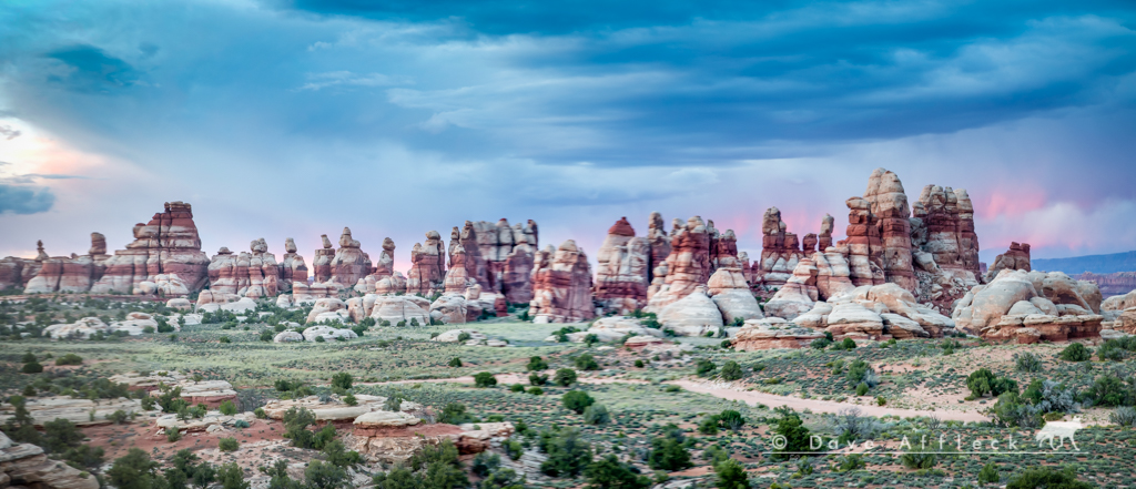
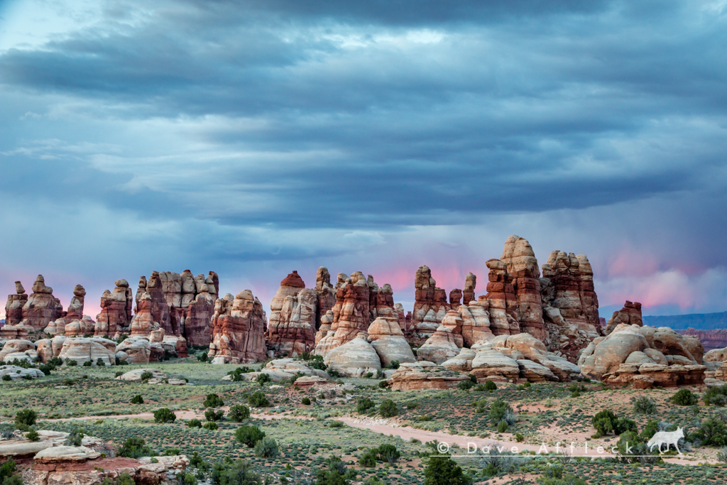
- DAA
- - - Updated - - -
Next morning, Friday, we set out to hike the Confluence Overlook trail. We were doing it as a point to point, exiting via Shot canyon at Chimney Rock, so we first dropped Randy's Jeep off at Chimney as a shuttle. Then went back and joined Marty and Diane to start the hike from near camp #1 in the Dollhouse.
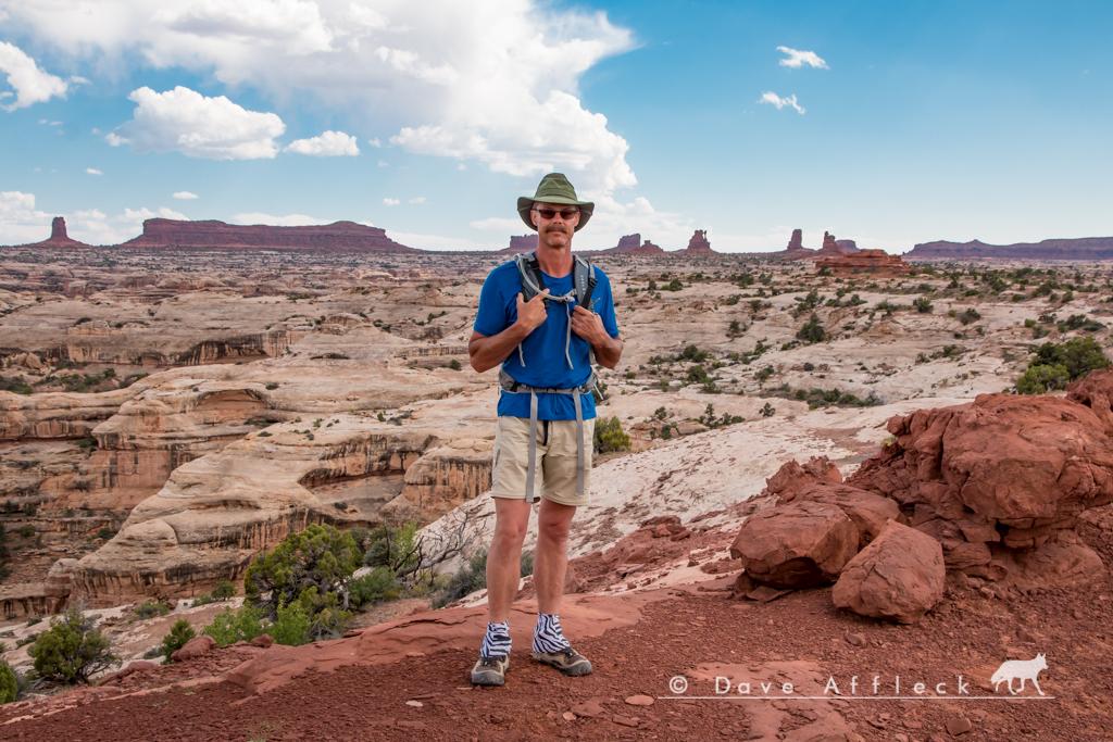
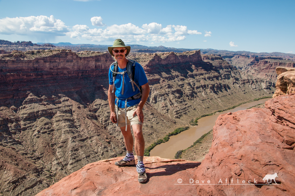
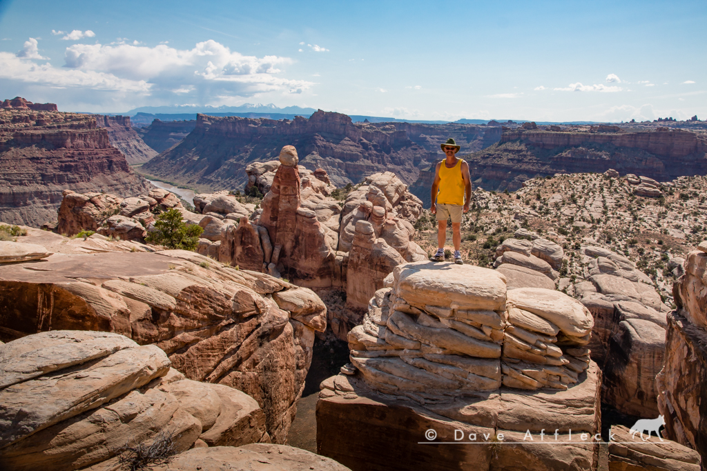
It was a much more scenic and interesting hike than I had imagined it would be. Also kind of long, at about 11 miles with a lot of elevation change, and it got pretty hot too. Not a real easy walk, but a good walk. Just one pic from the halfway point, out near the overlook.
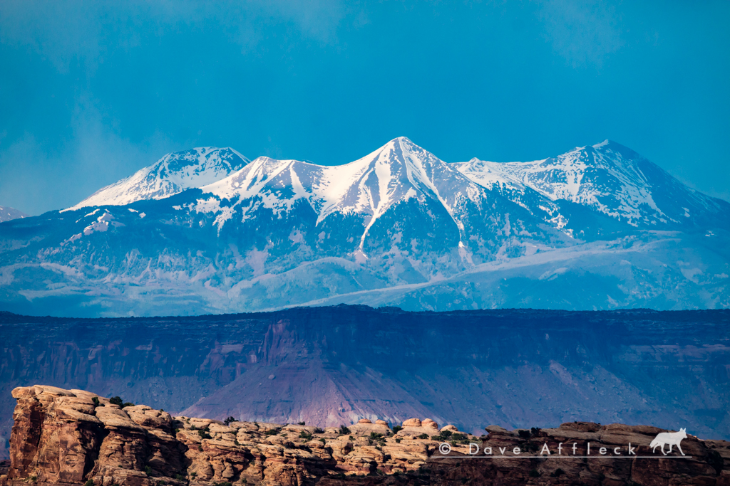
Back at camp, it was a hearty meal, good conversation and more great views - though the light was not as good as the evening before.

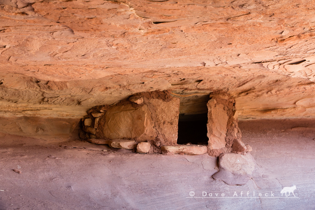
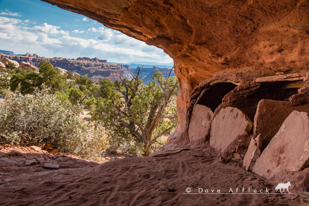
Next morning, we all slept in a bit (didn't get up till 6:15!), then packed up camp before taking the easy Granary Loop hike. I've done this hike at least twice before, but had completely forgotten parts of it. It's a cooler little hike than I had remembered!
- DAA
Three rigs, Randy and Diane in his new JK, Marty in his Liberty and me in my old LJ.
I arrived at the first camp, the Happy Canyon camp on Big Ridge, late Thur. afternoon, where Marty was already waiting. Randy and Diane pulled in just at dark. It was windy and cold so we all turned in early.
A view from behind camp down into the S. fork of Happy on Thur. evening.

Friday morning we got an early start, with Doll House camp #3 being our destination. I've been out on Big Ridge a few miles before, but was interested to see just how far the road still goes. So, I talked Randy and Marty into it and we set off to explore Big Ridge first thing.
After about 10 miles, near Two Pipe Spring, the road started getting pretty sketchy, and it could have easily taken a couple more hours to finish exploring it, so we decided to turn around and call it good at that point.
Couple pics from Big Ridge.


From there, it was the familiar drive out to the Land of Standing Rocks and the Dollhouse. At one point, we went for a hike to look for rock art and found several interesting panels. Few pics...


We were treated to some nice light and spectacular views around camp that afternoon and evening.


- DAA
- - - Updated - - -
Next morning, Friday, we set out to hike the Confluence Overlook trail. We were doing it as a point to point, exiting via Shot canyon at Chimney Rock, so we first dropped Randy's Jeep off at Chimney as a shuttle. Then went back and joined Marty and Diane to start the hike from near camp #1 in the Dollhouse.
It was a much more scenic and interesting hike than I had imagined it would be. Also kind of long, at about 11 miles with a lot of elevation change, and it got pretty hot too. Not a real easy walk, but a good walk. Just one pic from the halfway point, out near the overlook.

Back at camp, it was a hearty meal, good conversation and more great views - though the light was not as good as the evening before.


Next morning, we all slept in a bit (didn't get up till 6:15!), then packed up camp before taking the easy Granary Loop hike. I've done this hike at least twice before, but had completely forgotten parts of it. It's a cooler little hike than I had remembered!


- DAA


