- Location
- West Bountiful, UT
I do love me some Grand Gulch! So, for the third time in the last six weeks, I found myself there again last weekend.
This time, for what has become an annual tradition of a spring backpacking trip with friends Randy (IntrepidXJ) and Jared (xjblue).
Jared and I arrived from SLC in the area of the Collins canyon trailhead before dark on Wed. and grabbed a nice campsite we’d noted on an earlier trip. Randy, arriving from Fruita (in his brand new JKU Rubi!), joined us just before dark.
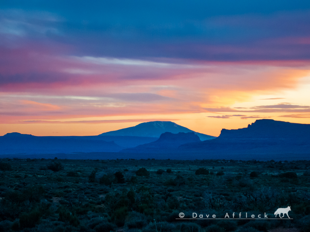
I snapped a pic of Navajo mountain as the sun set.
The next morning, Thur., we dropped off Randy’s Jeep at the Collins trailhead and all drove in my Toyota over to the Kane Gulch ranger station to check-in, get our permit, watch the propaganda film etc.
From there, we drove to the Gov’t trailhead and put our packs on. But instead of taking the tired, boring Gov’t trail into Grand Gulch, we headed cross country a short distance and route finded our way into Pollys canyon.
Then hiked Pollys all the way down into Grand Gulch. There was a lot of water in the bottom of Pollys all the way down and no trail to speak of for most of the distance. It wasn’t bad, but it was definitely route finding and bushwhacking most of the way.
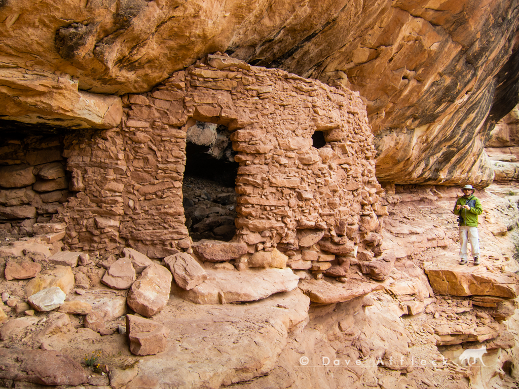
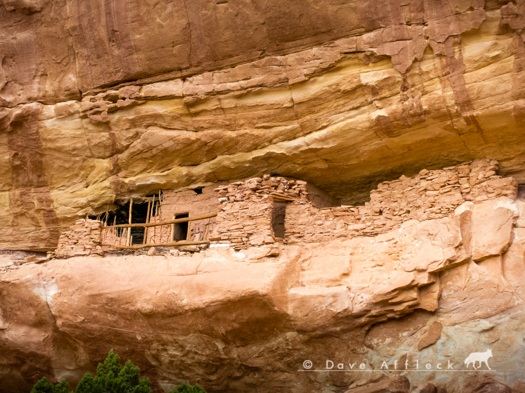
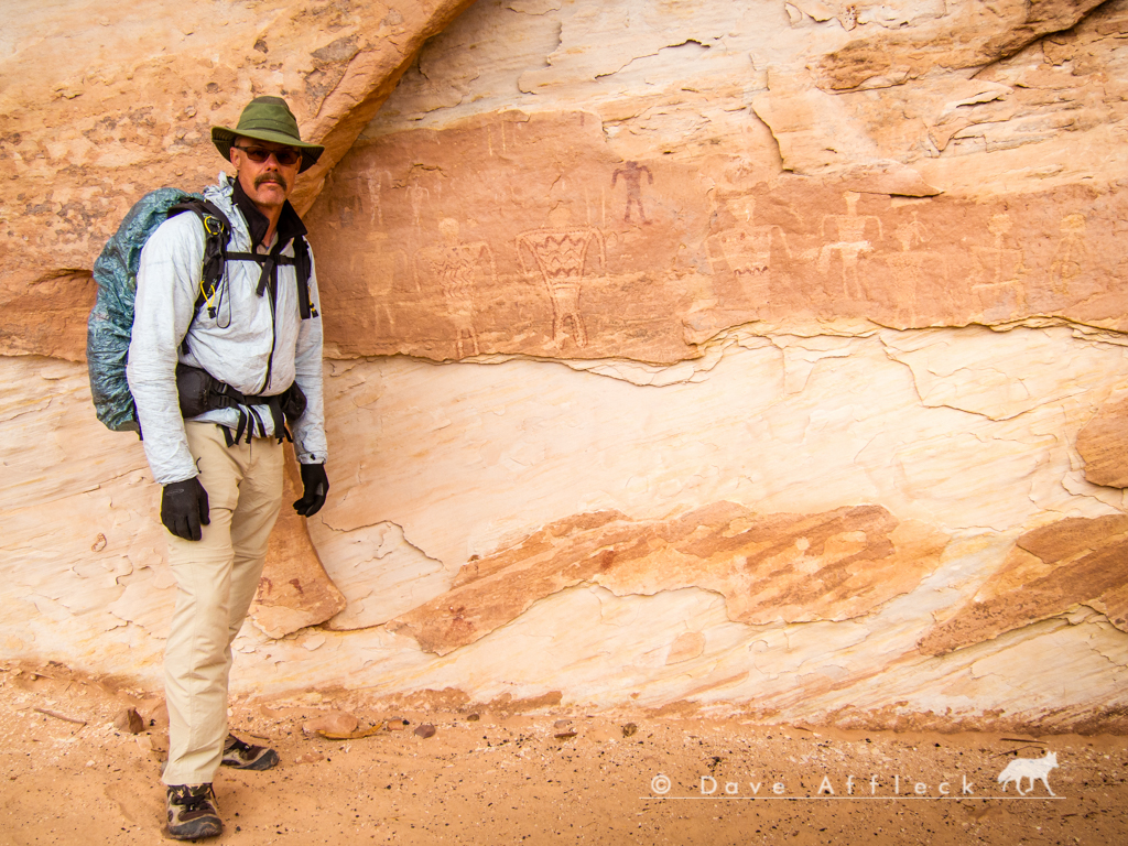
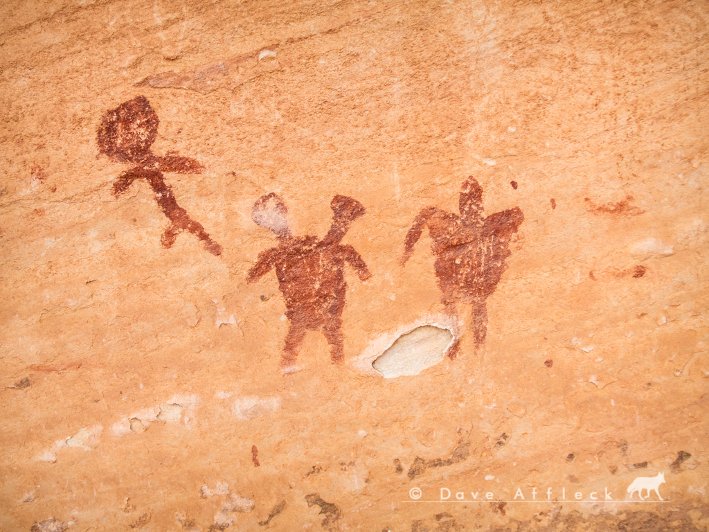
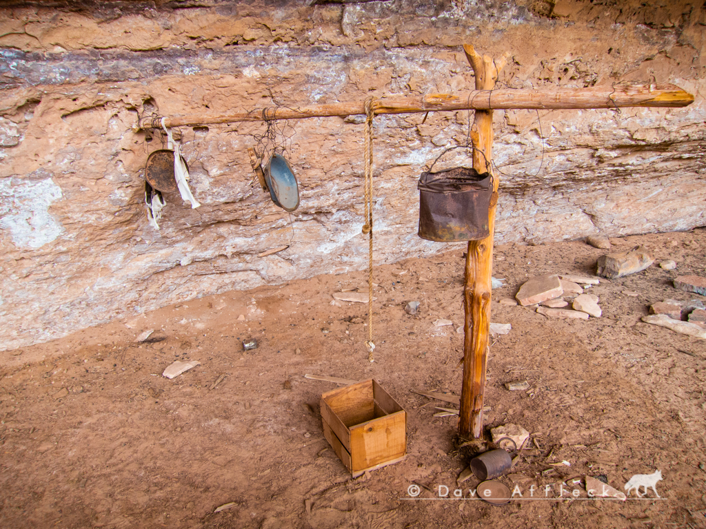
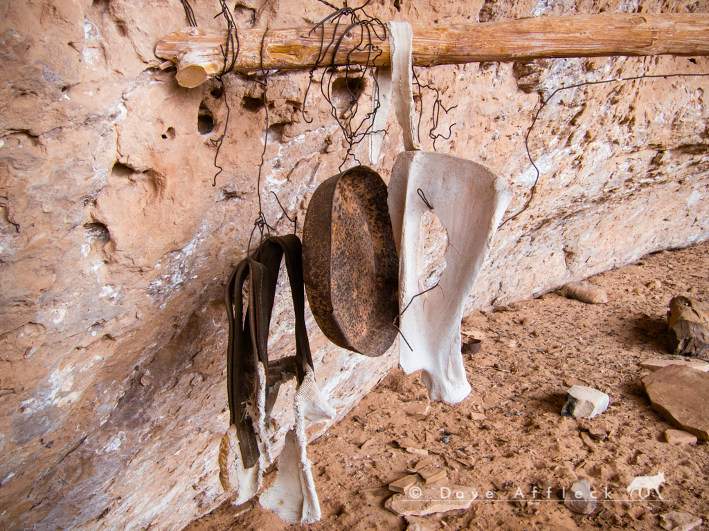
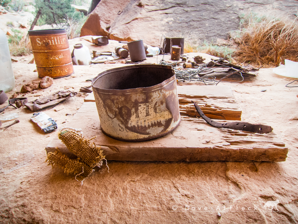
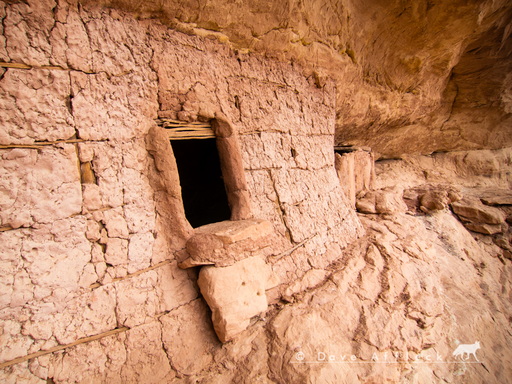
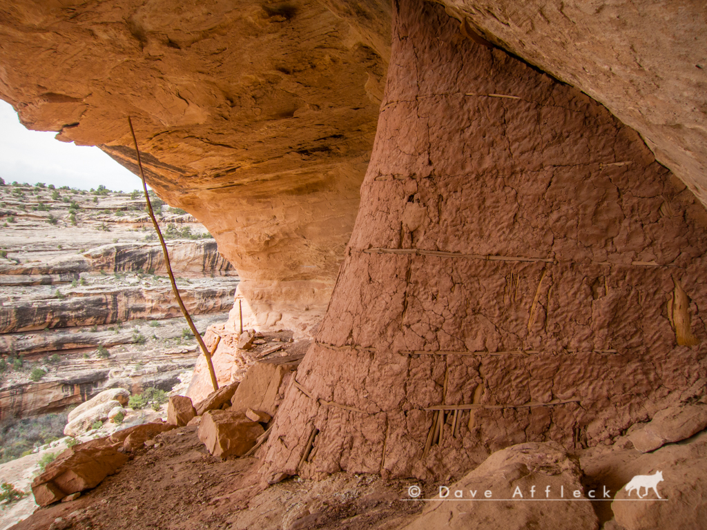
Some sites seen along the way…
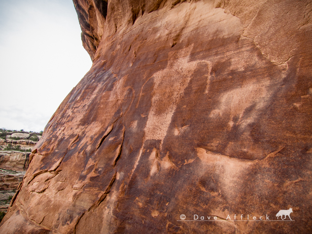
We eventually made camp at a spot on a shelf above Grand Gulch where Jared and I camped a couple years ago.
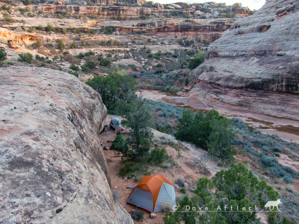
After setting up camp, there was plenty of daylight left so we started up canyon to re-visit some old favorites and see some new ones for the first time.
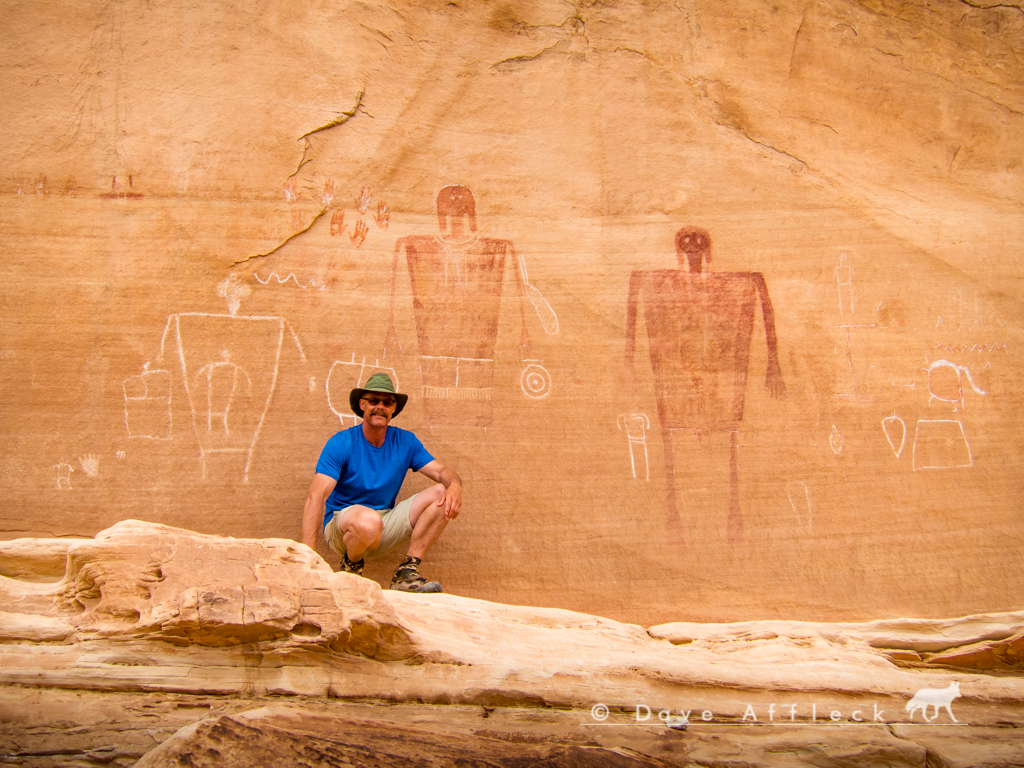
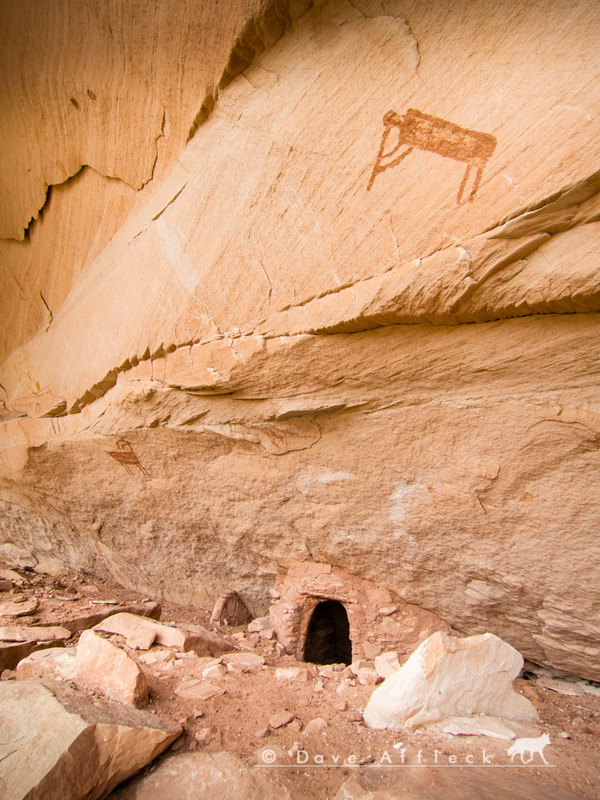
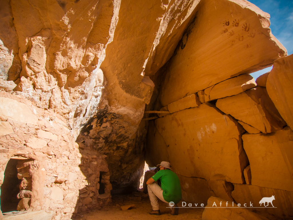
- DAA
- - - Updated - - -
That night was fairly warm. But the next day, Friday, would get progressively colder and windier as the day went on. Cold and wind be damned though! The next day was awesome! We took our time, heading downcanyon from Pollys and ending up camped in Deer canyon for Fri. night.
Some of the sights we saw on Friday.
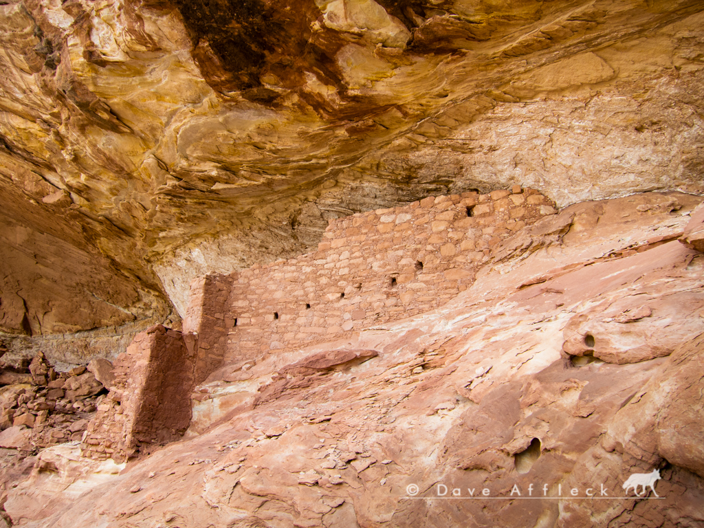
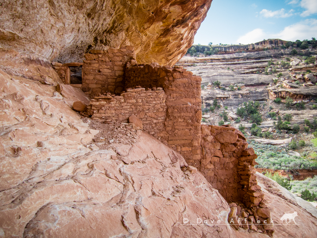
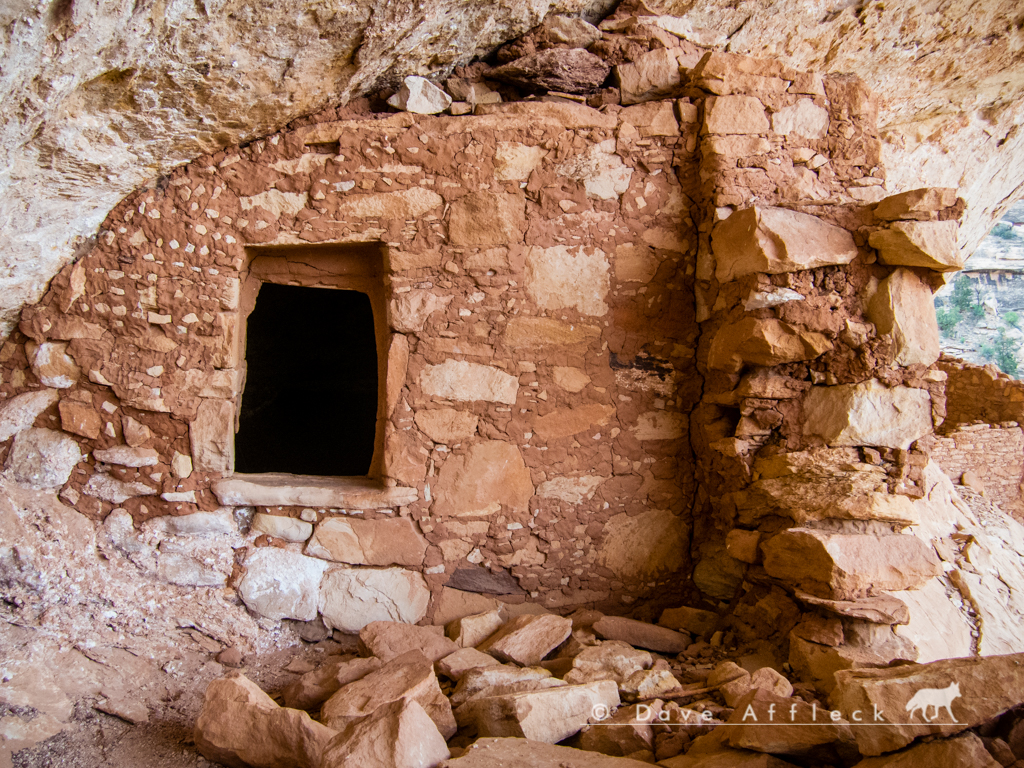
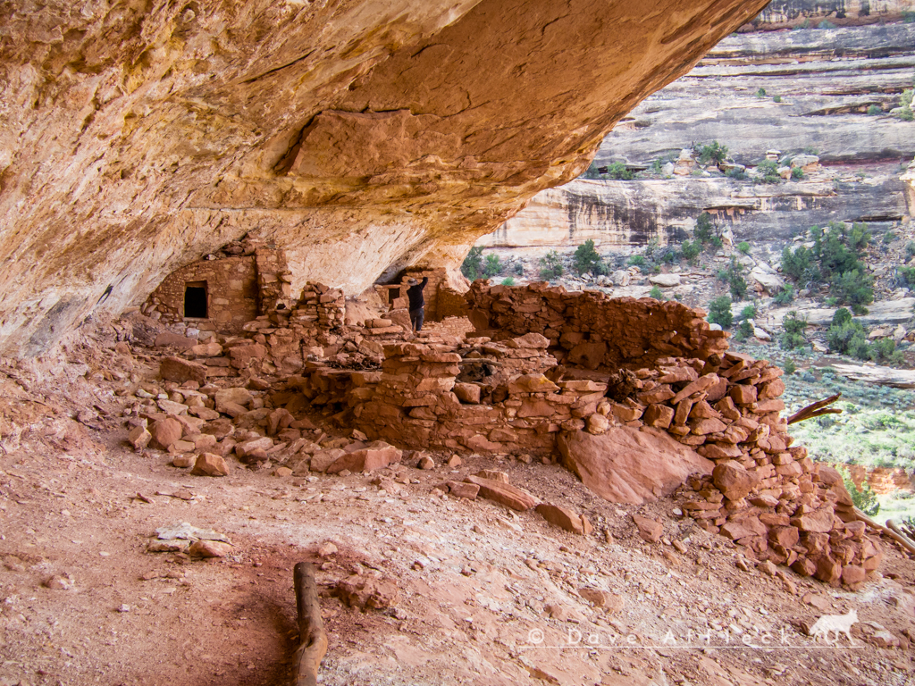
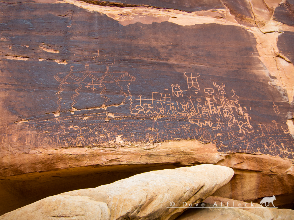
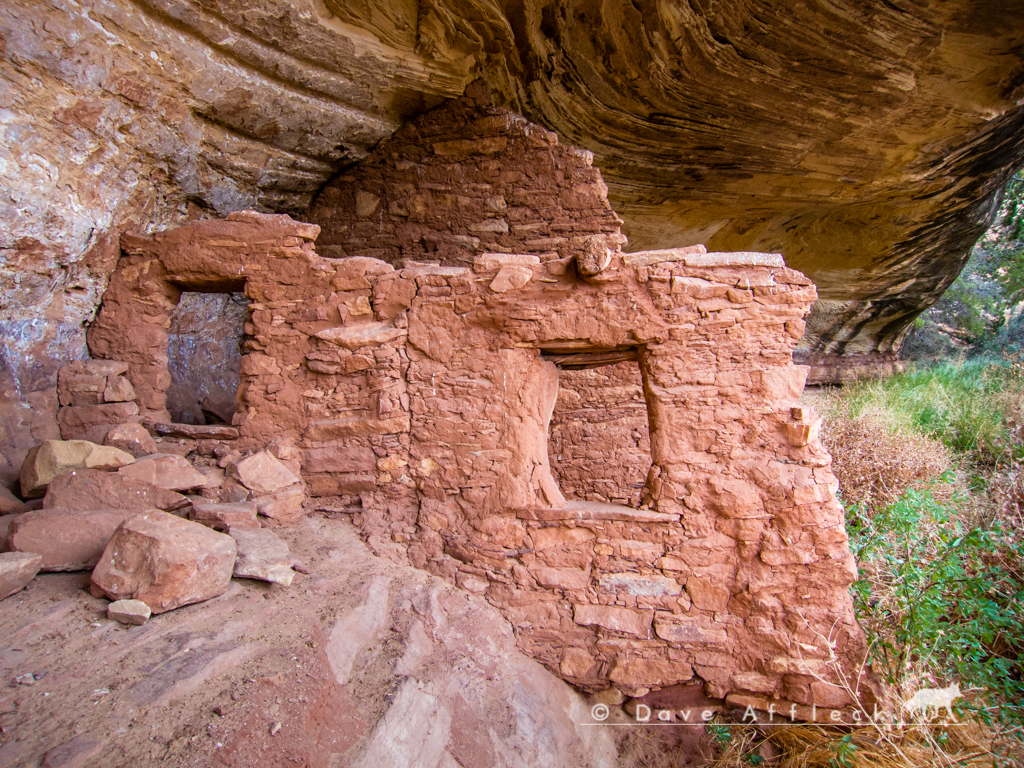
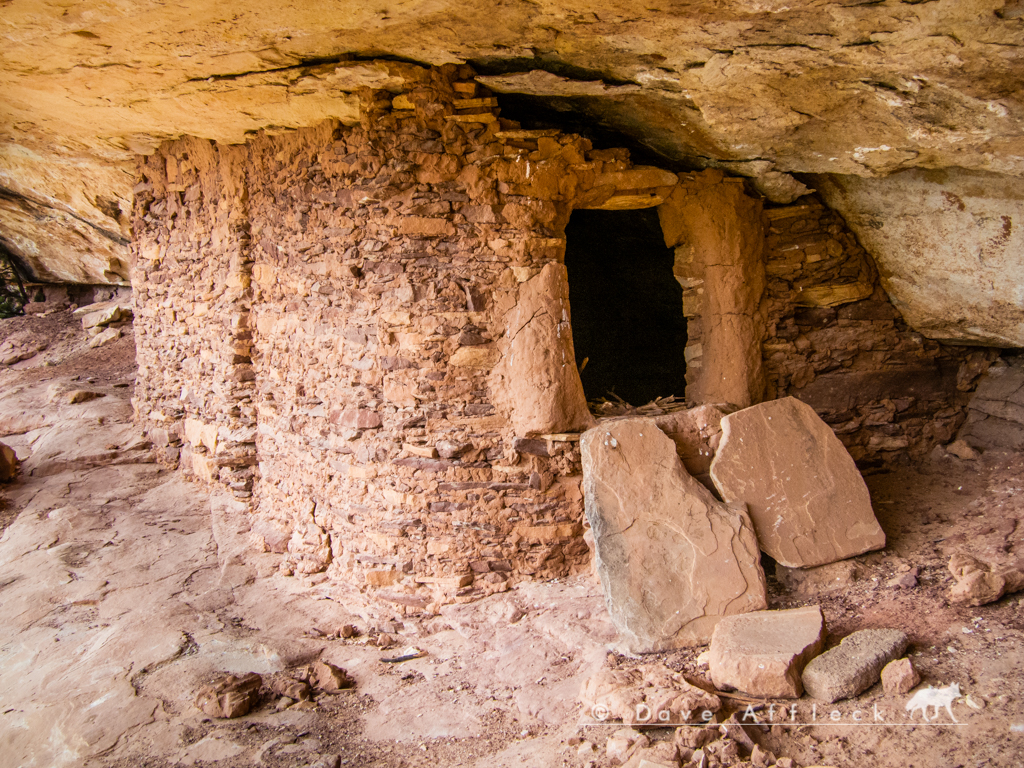
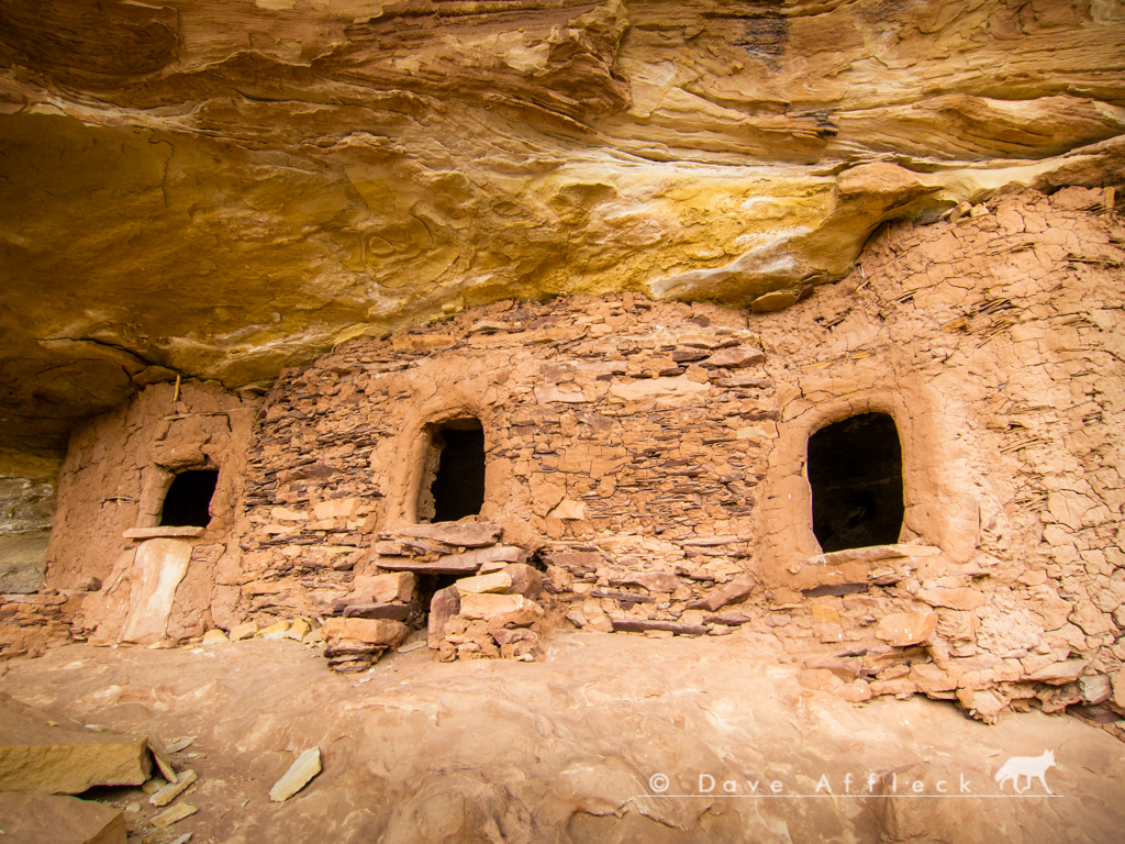
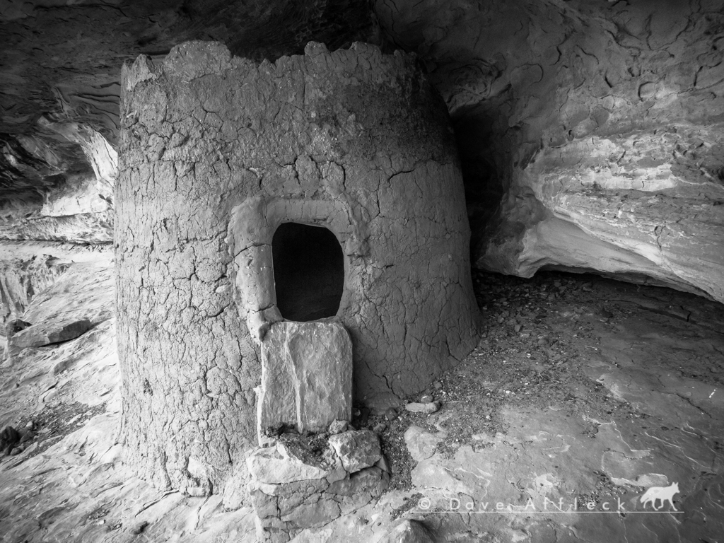
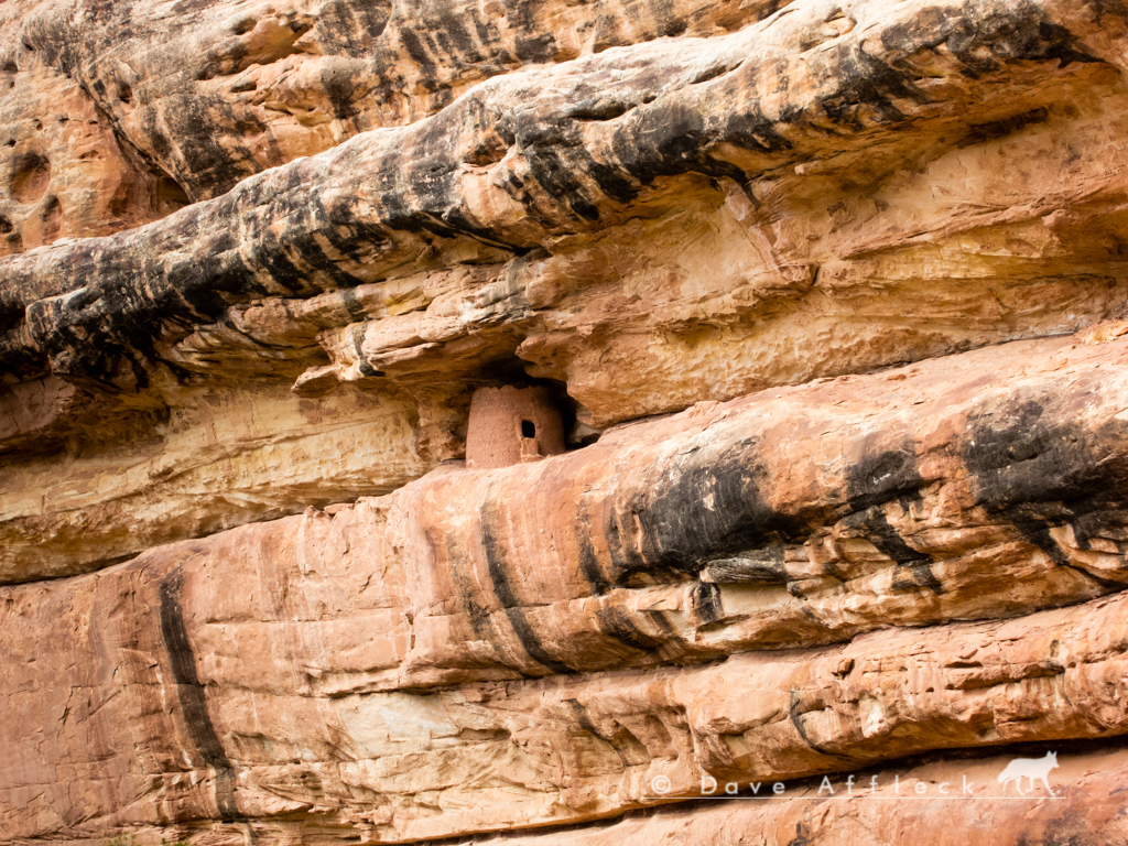
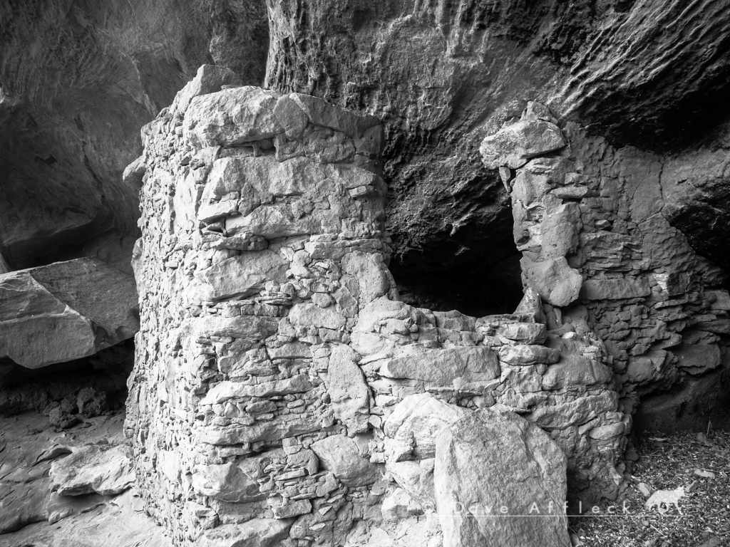
- DAA
- - - Updated - - -
Upon arriving at the mouth of Deer canyon, it started raining a bit so we took a break under the lee side of a canyon wall.
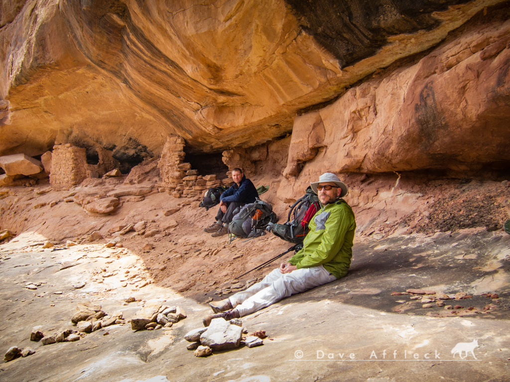
After the rain let up, there was still plenty of daylight left to get camp setup and explore the upper reaches of Deer canyon, where we found plenty of very interesting things to see!
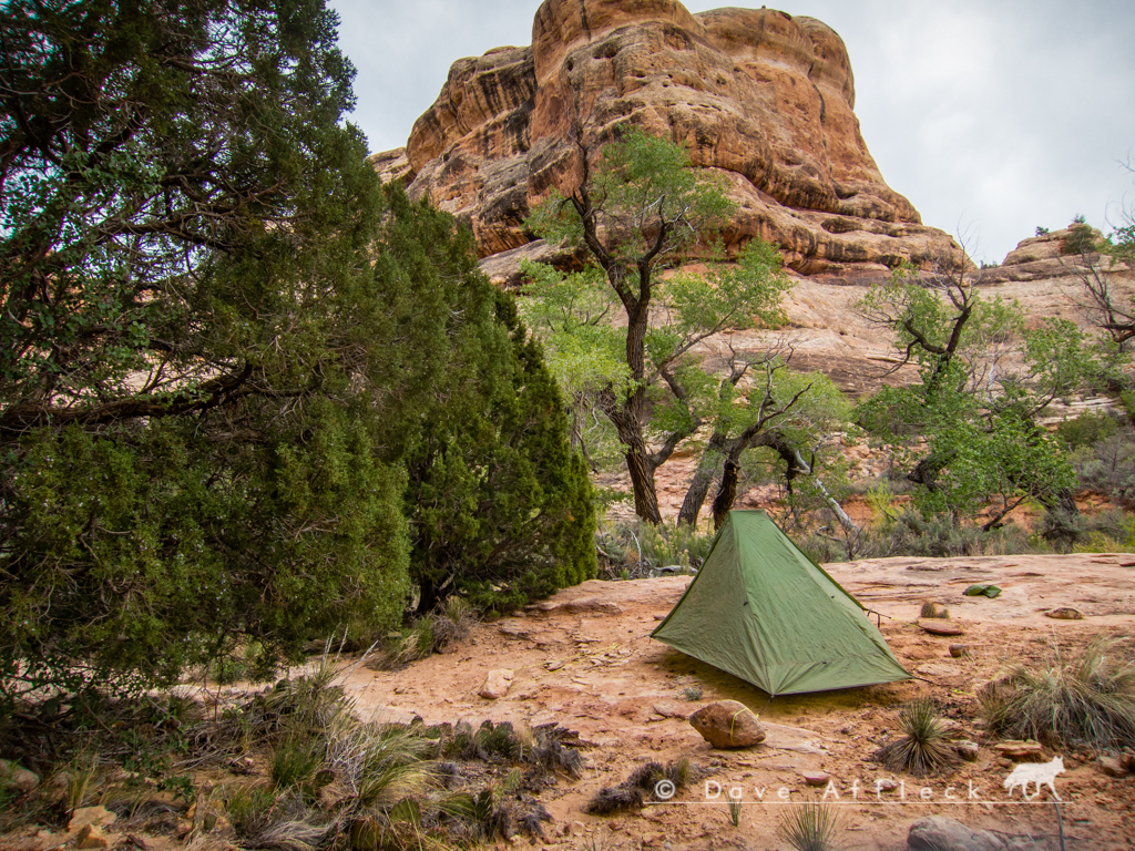
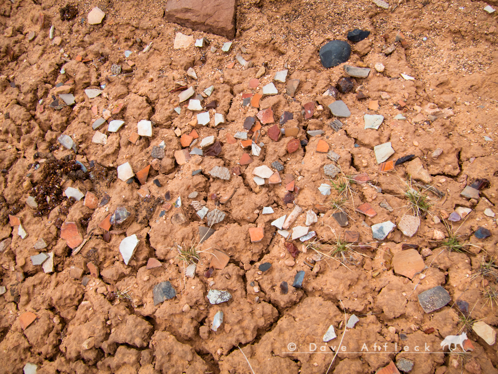
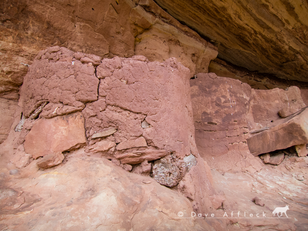
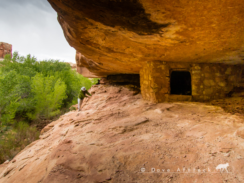
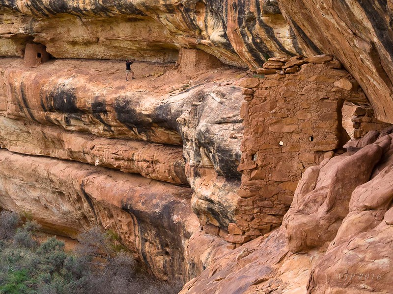
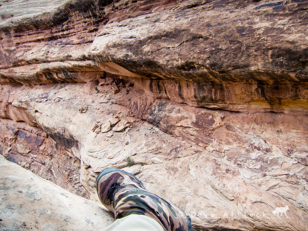
In this picture you can see Jared standing near some ruins just across the canyon.
And this one shows Jared just after clearing the spot from which I took the photo above.
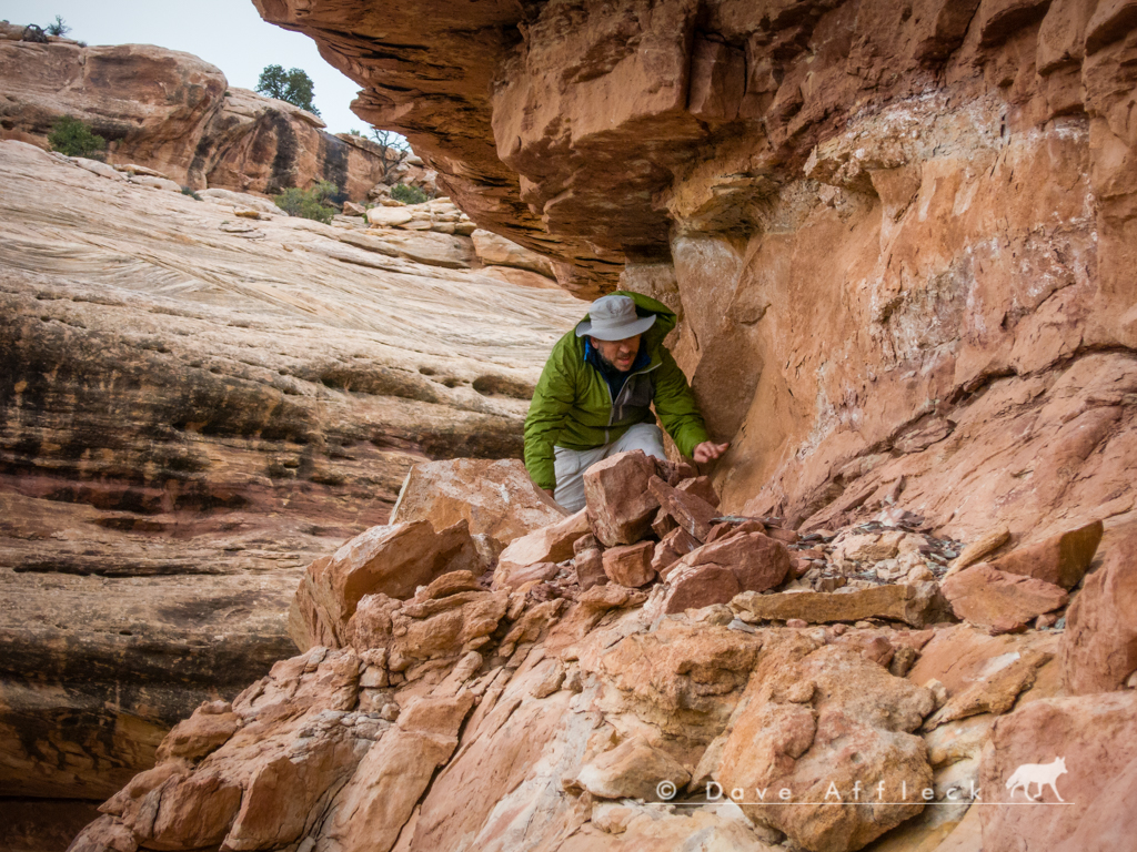
It is not an exaggeration, to say, in some of these spots, one wrong step, and you’ll have a few seconds to think about it before you splat into the ground like a bug on a windshield. It actually can get un-nerving at times.
- DAA
This time, for what has become an annual tradition of a spring backpacking trip with friends Randy (IntrepidXJ) and Jared (xjblue).
Jared and I arrived from SLC in the area of the Collins canyon trailhead before dark on Wed. and grabbed a nice campsite we’d noted on an earlier trip. Randy, arriving from Fruita (in his brand new JKU Rubi!), joined us just before dark.
I snapped a pic of Navajo mountain as the sun set.

The next morning, Thur., we dropped off Randy’s Jeep at the Collins trailhead and all drove in my Toyota over to the Kane Gulch ranger station to check-in, get our permit, watch the propaganda film etc.
From there, we drove to the Gov’t trailhead and put our packs on. But instead of taking the tired, boring Gov’t trail into Grand Gulch, we headed cross country a short distance and route finded our way into Pollys canyon.
Then hiked Pollys all the way down into Grand Gulch. There was a lot of water in the bottom of Pollys all the way down and no trail to speak of for most of the distance. It wasn’t bad, but it was definitely route finding and bushwhacking most of the way.
Some sites seen along the way…


We eventually made camp at a spot on a shelf above Grand Gulch where Jared and I camped a couple years ago.

After setting up camp, there was plenty of daylight left so we started up canyon to re-visit some old favorites and see some new ones for the first time.


- DAA
- - - Updated - - -
That night was fairly warm. But the next day, Friday, would get progressively colder and windier as the day went on. Cold and wind be damned though! The next day was awesome! We took our time, heading downcanyon from Pollys and ending up camped in Deer canyon for Fri. night.
Some of the sights we saw on Friday.


- DAA
- - - Updated - - -
Upon arriving at the mouth of Deer canyon, it started raining a bit so we took a break under the lee side of a canyon wall.

After the rain let up, there was still plenty of daylight left to get camp setup and explore the upper reaches of Deer canyon, where we found plenty of very interesting things to see!


In this picture you can see Jared standing near some ruins just across the canyon.

And this one shows Jared just after clearing the spot from which I took the photo above.

It is not an exaggeration, to say, in some of these spots, one wrong step, and you’ll have a few seconds to think about it before you splat into the ground like a bug on a windshield. It actually can get un-nerving at times.
- DAA

