YouKnowWho
Member
A few months back my former boss, Tom Lund, sold the Dry Canyon property. No idea who bought it. I got moved out a couple years ago, the county was pushing Tom on my presence. Guess they didn't like seeing someone up there.
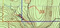
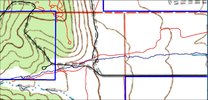
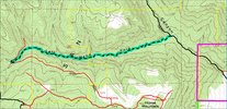
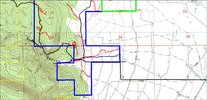
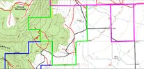
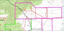
The XL Canyon property was, as I said last time, traded to his brother Karl, and his view hasn't changed that I know of. So here are some copies of what I have on this. Please keep in mind that it may not be current or accurate. I can say that, to date, every road depicted in these maps I have hiked. (yes, back in the day when I wasn't as fat as I am now)
The color codes are....
Black, county roads
Red, non-system roads
Blue, new owner
Green, Tom
Mauve, Karl
Yellow, BLM


