Jacob City

v-stone

Registered User
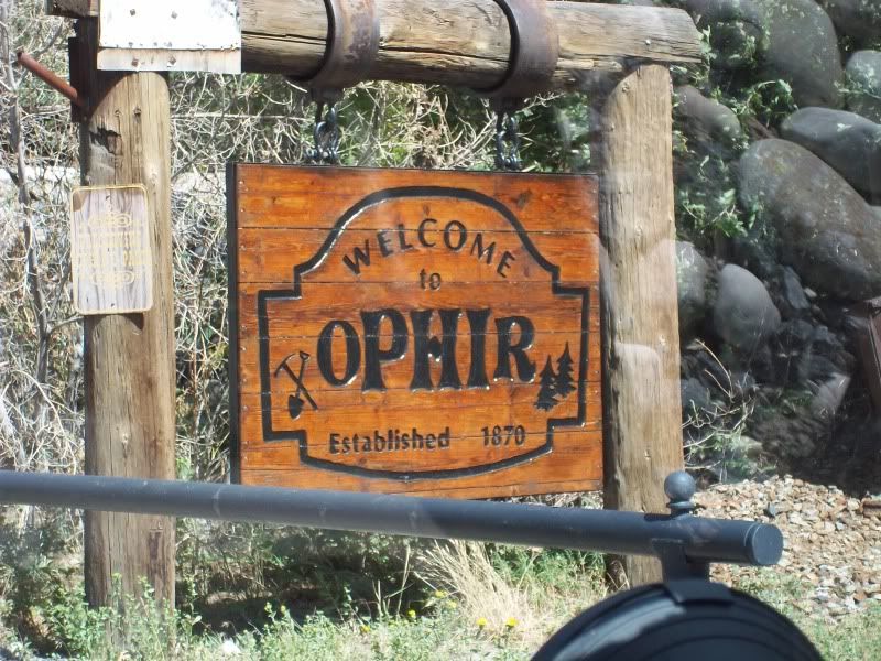
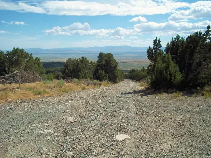
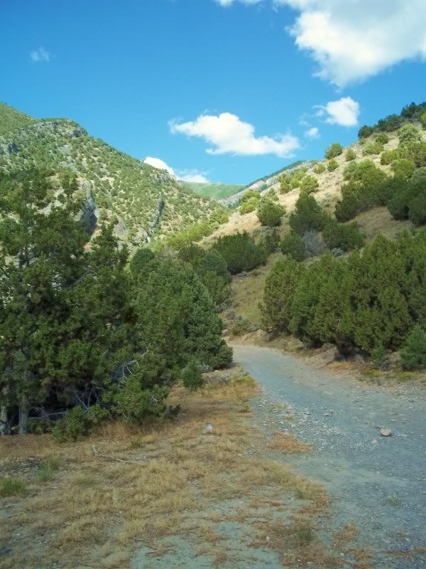
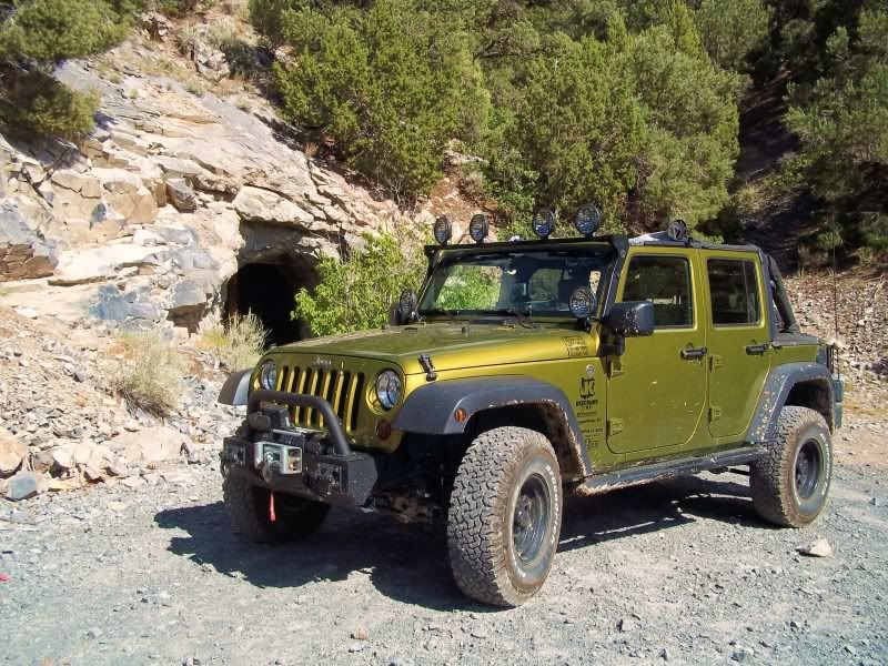
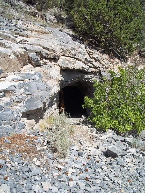
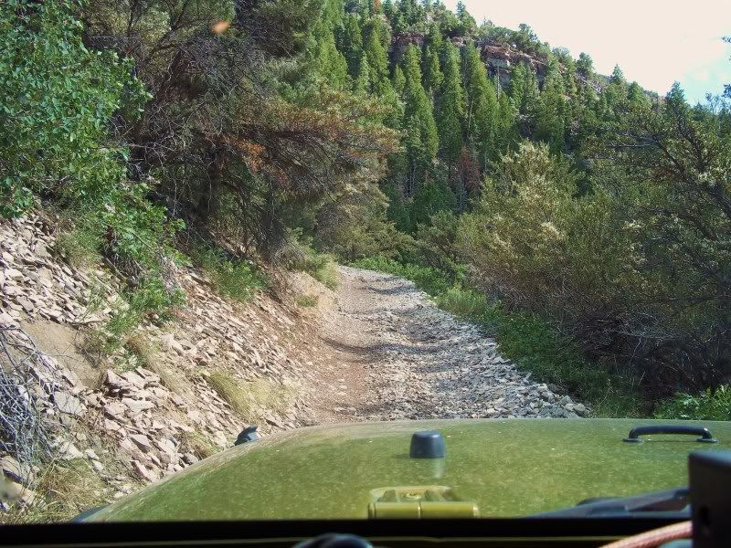
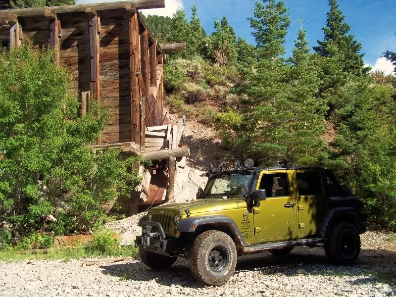
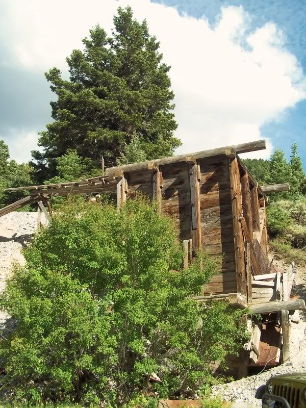
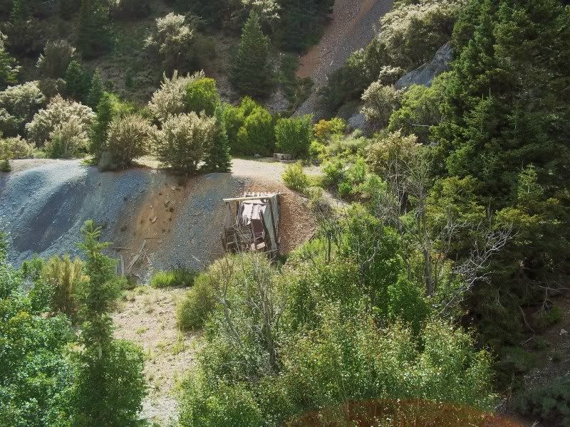
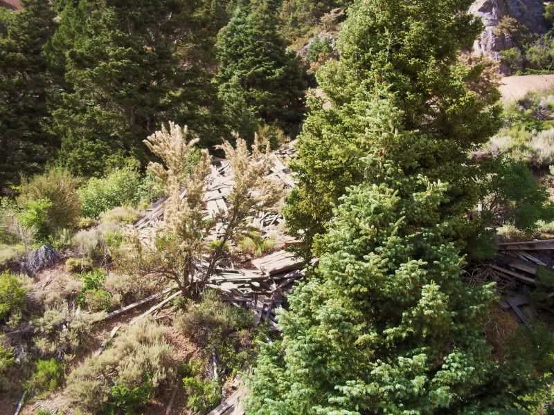
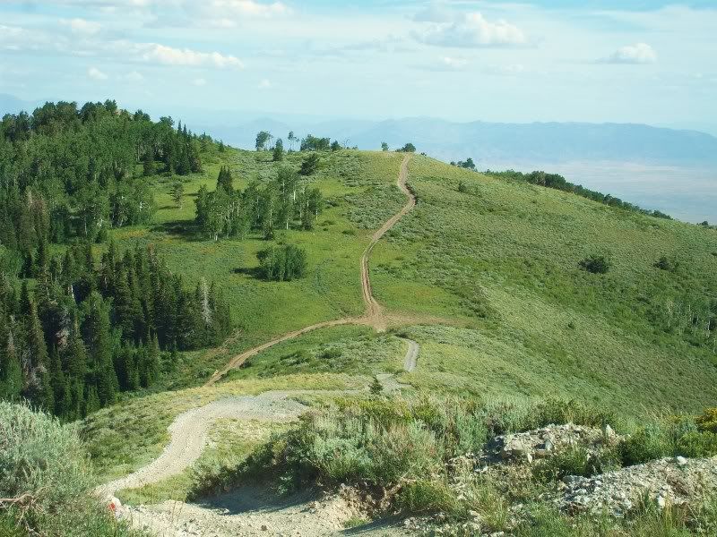
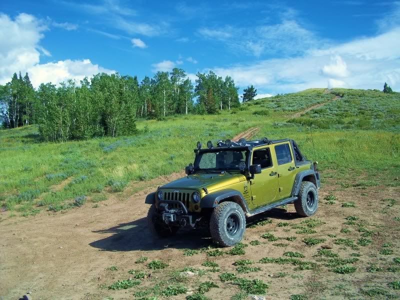
The Jabob City loop was never to be closed. Last year after the county meeting my Dad made a call to the county commissioners and had the signs removed. I thought the fight to protect this road was over and it would be here for a long time to come. I was wrong. I have been up there for about a year, but today, during our ride I noticed the signs our back.
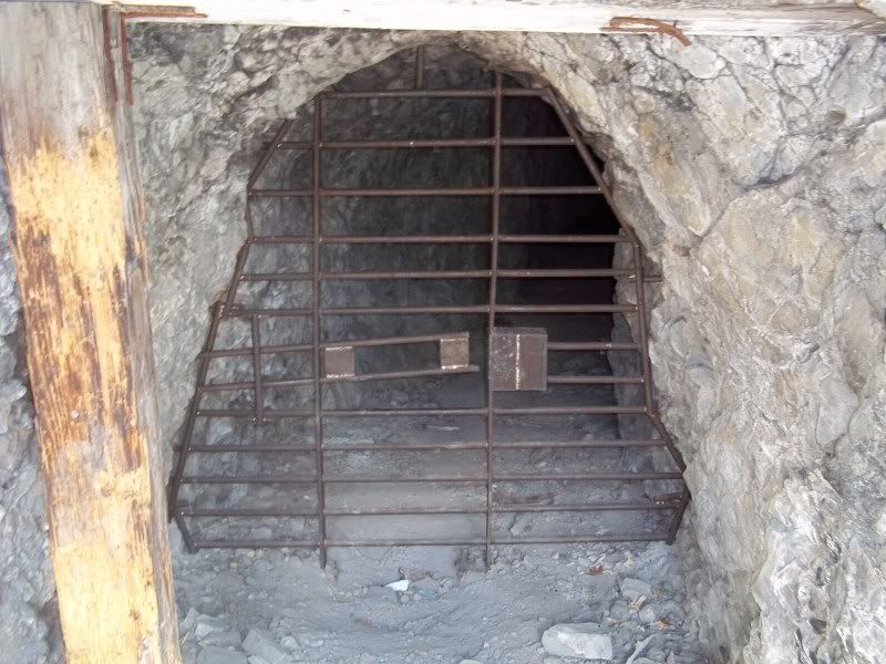
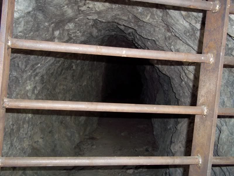
We need to protect this historical area by allowing full access to all.
 

Attachments

  • CIMG4736.jpg
    CIMG4736.jpg
    97.4 KB · Views: 46

Don B

formerly rebarguy
Location
Southern Utah
I'm kinda confused.

Looking at the picture of the sign, I don't see any agency logos. No BLM, FS, SP& R or even Tooele County.

So who's sign does this belong to? Who is claiming ownership of this trail and saying who is allowed to use it? Is this a public ROW? Does the County claim it as an RS2477? Is it private with an agreement with the landowners?

Basically, under what authority is someone limiting access?
 

v-stone

Registered User
I'm kinda confused.

Looking at the picture of the sign, I don't see any agency logos. No BLM, FS, SP& R or even Tooele County.

So who's sign does this belong to? Who is claiming ownership of this trail and saying who is allowed to use it? Is this a public ROW? Does the County claim it as an RS2477? Is it private with an agreement with the landowners?

Basically, under what authority is someone limiting access?

Good Questions. I know that Nando Mali of Stockton, Utah was the one taking the credit for it last year. Here is a link to county meeting minutes showing him to be on a board for developing trails.
http://www.co.tooele.ut.us/agendatrl080306.htm

Last year when we contacted the County commissioner, Jerry Hurst, by phone this was not approved and he sent someone up right away to take down the signs. Please email or call to show your support of this road staying open.
http://www.co.tooele.ut.us/commission.html

I don't know for sure if this road has RS2477, but it should. This road has been there longer than most people have been alive. A report done and sold at the Stockton Town hall on the area (prepaired by Lynn Hilton) shows the population of Jacob city peaking close to 4000 around the turn of the 20th century. That a lot of forgotten history. I feel that if this road gets closed we will loose a lot of the historic meaning of the area.

I will check to see if this has the RS2477 statis and if it doesn't I'll try and get it.
 

Don B

formerly rebarguy
Location
Southern Utah
This certainly deserves more checking into. If these are not county roads, who has authority to put up these signs? If they are county roads and public ROW's, the county cannot just deny access to full size vehicles if they have been the historic users of these roads.
 

jackjoh

Jack - KC6NAR
Supporting Member
Location
Riverton, UT
Tried to call the number on the sign and it was busy. Tried reverse search and the only information was that the individual was 60 years old.
 

v-stone

Registered User
I just sent an email to the admin. assistant to the county commissioners. Hopefully we'll get the same response (maybe with more force) as we did last year.

Got a response, I hope Jerry doesn't mind if I shared his reply because here it is:
Commissioner Jerry Hurst
Tooele, Utah
435-removed number
Sam, Thank you for bringing the closure of the Jacob City road to our attention. There was no intention to do so and I think it was an over site by our Parks and Recreation Department . I have called our trails man and told him to include four wheel drive vehicles on the signs. He said he will take care of it soon. Sorry for the inconvenience. The signs will have a picture of a jeep to indicate that they are allowed. I also asked him to make a sign to be placed on the kiosk.


I'm still a little concerned because it doesn't have road status and could be closed at the drop of a hat. But, we are all included for now and the signs are nice in a way. I do hope it stays open to all for as long as we have vehicles to drive on it.
 

xerofall

New Member
I was just up there today. It was a beautiful drive. I was a little woried in some spots, but my JK handled perfectly. There are no "jeep" icons on any of the markers I saw, but part of that might be because there isn't any room on those small markers, they would all need to be replaced.

I drove through Ophir, well right before Ophir, turned onto a dirt road next to the nerve gas detectors. Drove up narrow, rocky as hell terrain, but I made it.

Then drove up as far as I could and came back down the other side, ended up in Ophir again!
 

xerofall

New Member
100_0263.jpg


In the distance you can see the checmical weapon depot on the left...

100_0264.jpg


Made my way up the rocky road. A little pinstriping adds character...


100_0266.jpg


100_0267.jpg


100_0268.jpg


100_0270.jpg


100_0271.jpg


The road got narrower and narrower as I went up. It was rockly, but the rocks were about fist-sized, so nothing the JK couldn't handle in 4LO.

100_0272.jpg


One of the only few structures left standing...

100_0273.jpg


100_0274.jpg


100_0275.jpg


100_0276.jpg


Really pretty scenery... nice and cool up there too...

100_0277.jpg


At the top...

100_0280.jpg


100_0281.jpg


100_0282.jpg
 

scottymeegs

New Member
Was this the lion hill loop trail in ophir? If so I went up this in my fj last weekend. I didnt see any no 4x4 signs. I also didnt see another single person out there. Fun trail with great views! I was trying to make it to mercur but was stopped by a yellow locked gate all the way down the back side of the mtn... so I decided to do the whole loop and ended back up in ophir. Lots of pinstriping!
 
Top