July 4th San Rafael Swell

Paul R

Well-Known Member
Location
SLC
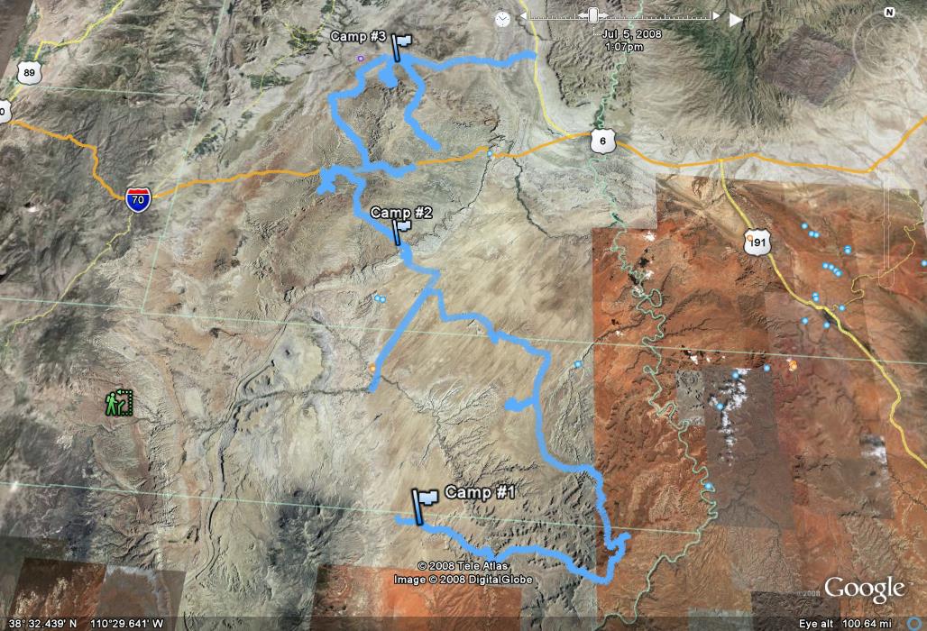
Our journey started before we left as Mariko and I have recently been studying and reading the stories and tales of Butch Cassidy and the Wild Bunch. This reading urged us to get out and explore the areas we had read about to get a feel for it all. We wanted to cover as much ground as possible; settling with a solid trip to the swell which covered lots of outlaw history, plus other sights and history that the area has to offer.
Route:
2649029002_2be3720744_o.jpg

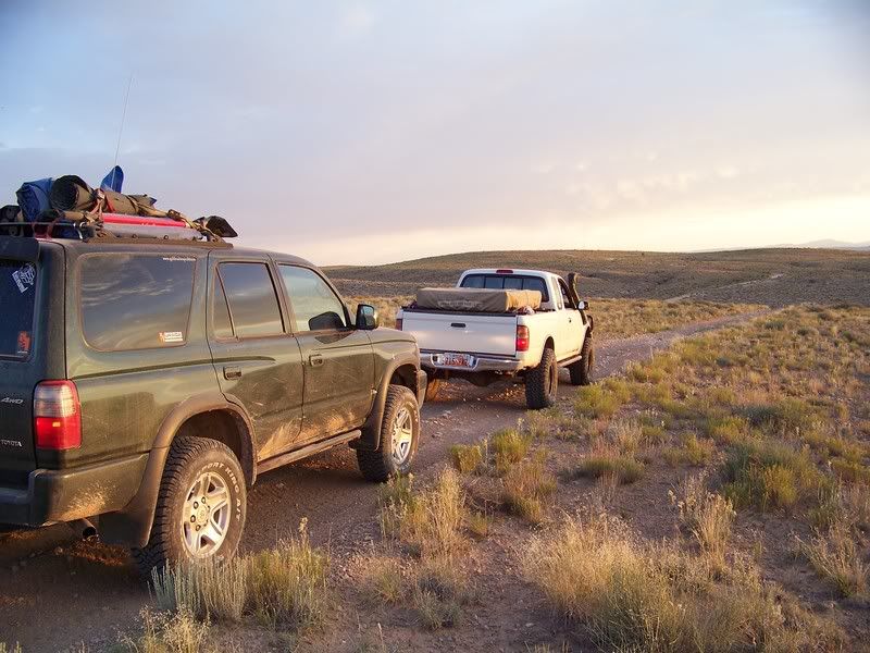
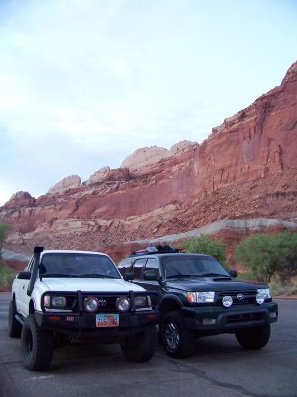
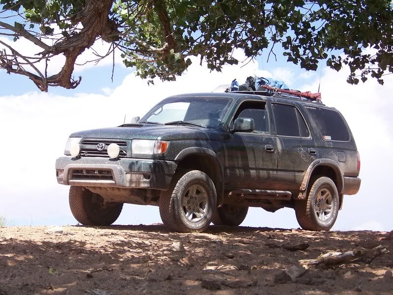
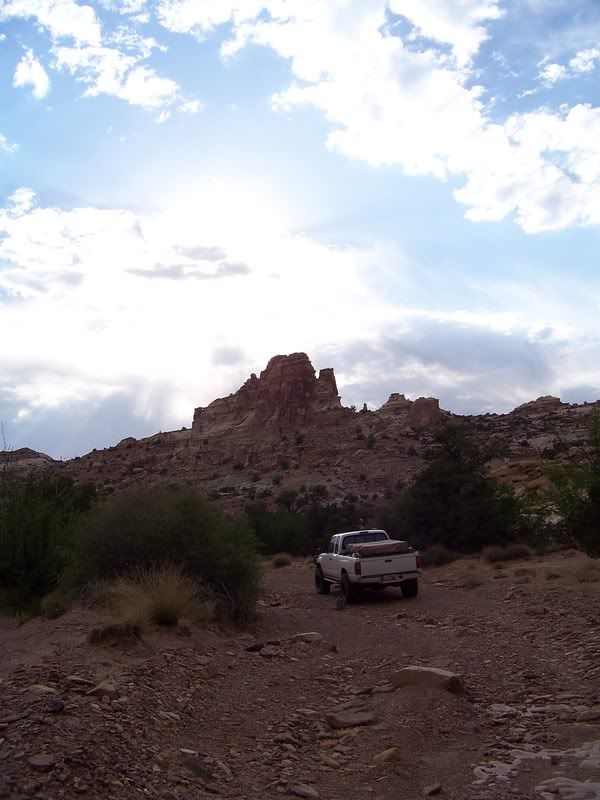
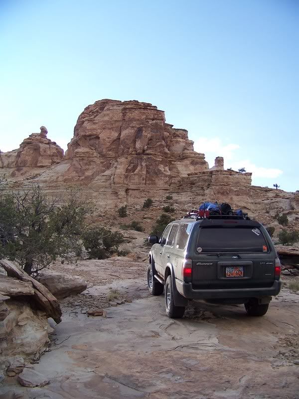
Mariko and I cruised down to Salt Lake to meet up with Jason (SAMI) and his brother Thomas, loaded up on fuel in Draper, and made Hanksville our new heading. We had heard about construction on Highway 6 so we decided to cruise down I-15 to Scipio, and take 24 through Capitol Reef to start out the trip. We got to Fruita just as the sun was saying its final goodbyes. So, instead of sticking around for long we pushed on. Around 10pm we found Hanksville ripe with expensive fuel, and tasty Hot Pockets. Cruising down 95 we dropped off onto the Poison Springs Wash Road and started looking for camp. Not wanting to be right in the wash we wandered down the road until we came to a great little spot to set up for the night.
Capitol Reef Visitors Center/ Fruita:
Photo courtesy of Jason Goates
100_1688.jpg

Camp #1:
Photo courtesy of Jason Goates
100_1693.jpg

As the sun rose, bringing light in the morning we realized how great our surroundings were, and how happy we all were to be away from the busy routines of a normal 4th of July. I know I cannot possibly describe how great the area is and accurately portray it. So, in order for you to understand and see for yourself, you must take a drive through the area. I will try however to explain some areas of interest more, striving to capture our experience. I will surely do the areas injustice with my descriptions, but this will be an attempt to express some of the area and surely not a comprehensive report.
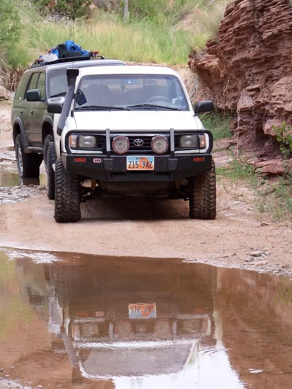
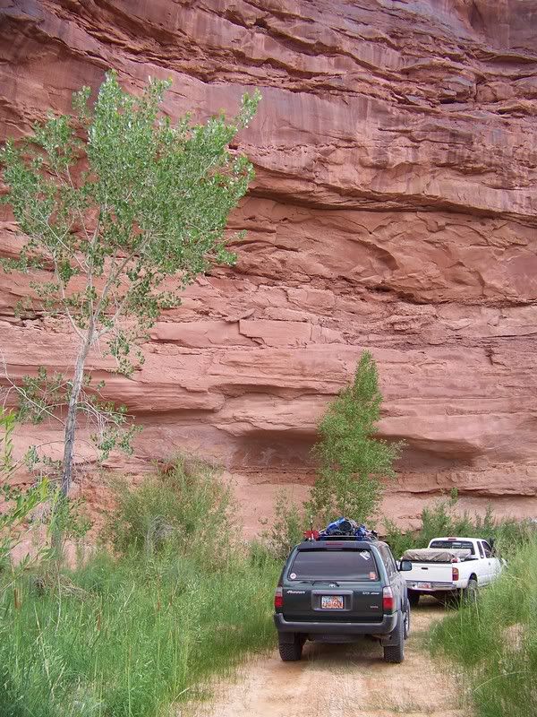
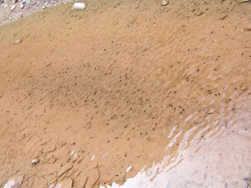
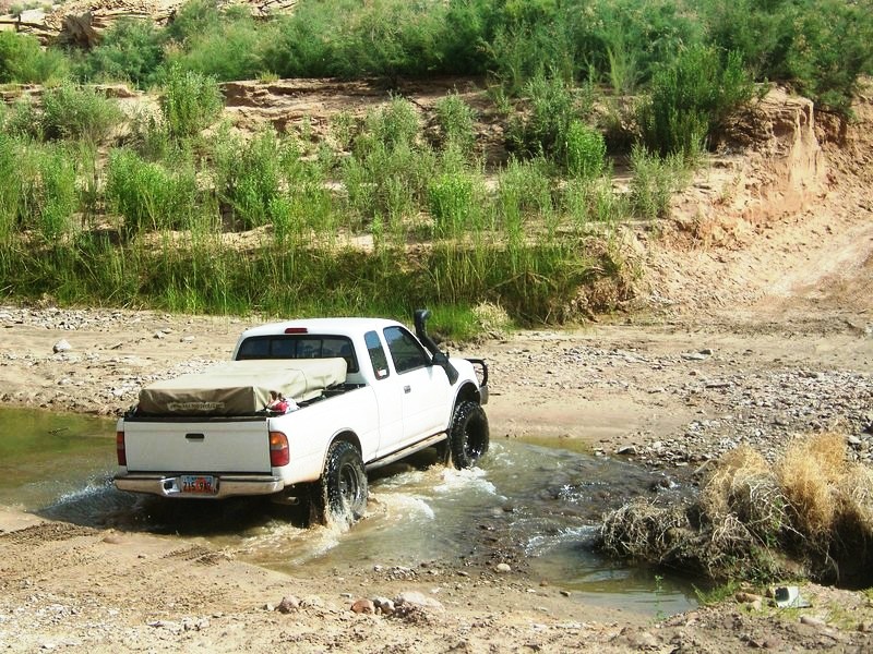
In the morning we packed up quick and continued down the wash, crossing through puddles stocked with hundreds of tadpoles. I had read that Dirty Devil River Crossing is usually about bumper deep. Yet when we rolled through it, the water was down to the main channel and barley came half way up the tires. We were slightly disappointed with the lack of adventure of this river crossing (we would have to wait a day or 2 for river crossing adventure).
Poison Springs Wash Road:
Photo courtesy of Jason Goates
100_1699.jpg

Photo courtesy of Jason Goates
100_1709.jpg

Photo courtesy of Jason Goates
100_1717.jpg

Tadpoles:
Photo courtesy of Jason Goates
100_1706.jpg

Crossing Dirty Devil River:
Photo courtesy of Jason Goates
2691163823_749ec8023b_o.jpg


2691168903_f54c6bd60e_b.jpg

Over Looking Dirty Devil River:
Photo courtesy of Jason Goates
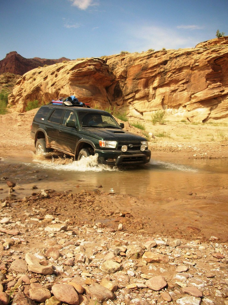
100_1734.jpg
 

Paul R

Well-Known Member
Location
SLC
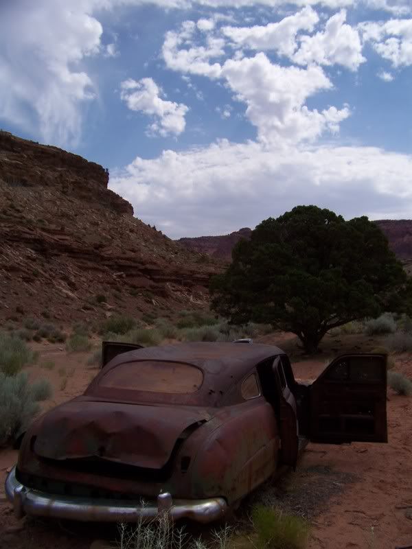
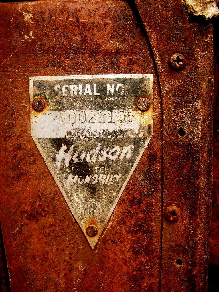
Driving down the road from Dirty Devil River is slightly uneventful until Sunset Pass, with the exception of an old refrigerator and an old Hudson car abandoned in the desert, that had been converted to a travel trailer by an adventure seeker from decades ago. As we climbed up and over Sunset Pass we entered the Glenn Canyon National Recreation Area and came to a cross section to go down to Lake Powel, over to the Doll House (Canyonlands), or up to the Flint Trail.

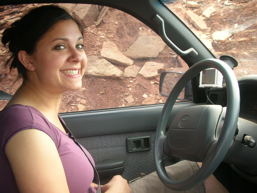
Mariko decided to drive
smile.gif
:

2692036794_71914f12d3_b.jpg


Old Hudson:
Photo courtesy of Jason Goates
100_1736.jpg


2691220077_53536dbf89_b.jpg

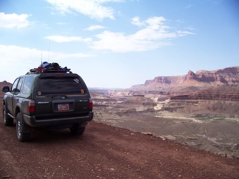
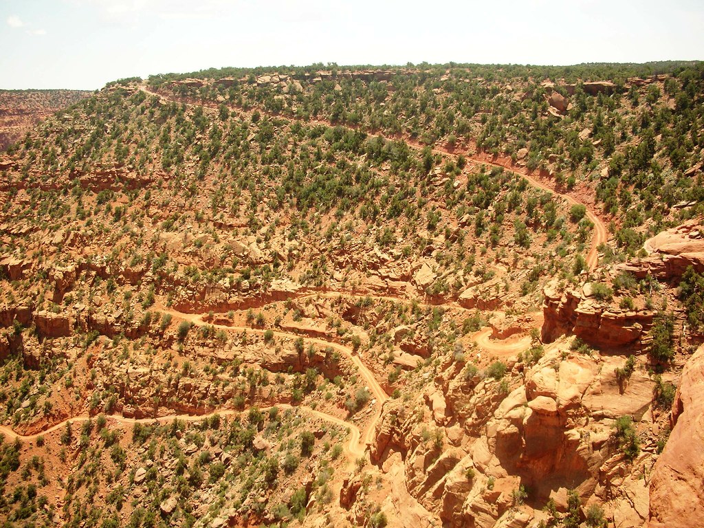
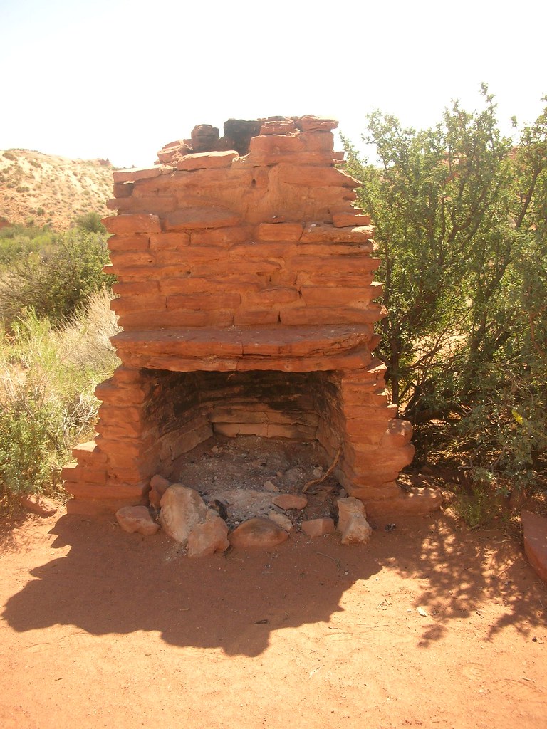
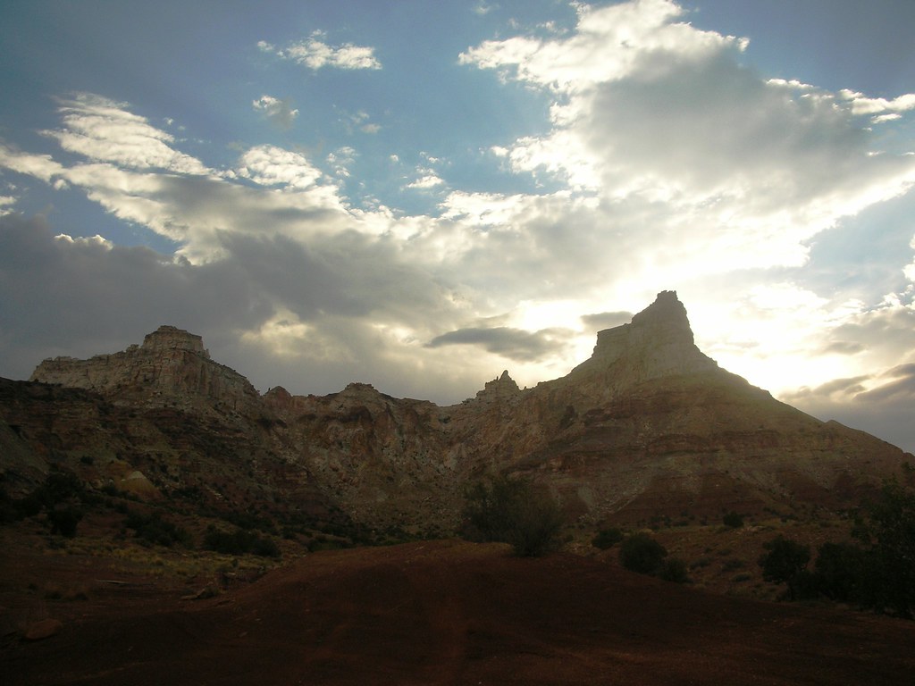
We decided to stick to our plan to head north to the Flint Trail, which is a beautiful road that winds its way up to the top of the Robbers Roost. We stopped and took in the awesome view with the Maze district of Canyonlands National Park off in the distance. The trail was mostly higher speeds to the Hans Flat Ranger Station, which we found locked up tight; though I’m sure we could have found help if we needed. It was hot and buggy, so we decided to wait and eat lunch closer to the Roost Springs. We dropped down a side road off of Ekker Ranch Road that I had GPS coordinates for, and had to check a couple times to make sure it was right. The road dropped from loose sand down a little sandstone ledge and got onto a faint 2 track trail. Although it looked like a small rancher access road it turned out to be cool going by Silvertip Springs, Dead Man’s Hill and the remains of the Cottrell cabin, and finally ending at the campsite right above the trail down to Robber’s Roost Springs. It was extremely hot and more buggy than comfortable, so after reading some of the names and cowboy-glyphs in the rocks. We ate a quick lunch and took the Hans Flat Road out to Highway 24 to Hanksville to fill back up on fuel. It was really cool to see the area of the Robber’s Roost, and while there isn’t a whole lot there today to represent its past, it was great just to know that some of the west’s most famous outlaws spent time throughout the area avoiding the long arm of the law. It is very remote and arid and it is not hard to see why it would be hard to penetrate in the late 1800’s.
Flint Trail Overlook:
2648020336_6449c1416c_b.jpg


Wild Burros:
2648020614_daeec33165_b.jpg


Remains of Cottrell Cabin:
2648020772_ef0e8061e0_b.jpg


Old Cottonwood Tree near Robbers Roost Springs:
Photo courtesy of Jason Goates
100_1765.jpg
 

Paul R

Well-Known Member
Location
SLC
After fueling up in Hanksville we drove through a sandstorm on our way into the Swell via the Goblin Valley access road. Once we got up closer to the sandstone the wind died down and we headed towards the Temple Wash Trail. I wasn’t paying as close attention to the GPS as I should have, which landed us one wash too early. It wound in and out of sandstone and ended up being a blast to drive, but soon became increasingly narrow, nearly abandoning us as it headed up and over the canyon wall. We ended up traveling a small ATV trail that traversed the side of the canyon for a bit until it became narrow and sketchy onto the slick rock. We turned back to the bottom of the wash and found a cairn marking another route we turned and followed it for a ways until it too became a bust. While it was certainly a fun change from the higher speed roads, we were anxious to find somewhere to camp. We ended up going back to the trail turnoff at the fence, checking out the desired waypoints and realizing the mistake that was made. We went up the right wash, and it was very clear that we were finally on the correct road. Temple Mountain wash is a cool drive with sandstone walls on each side that winds in and out until it arrives at Temple Mountain Ghost town.
The town was originally built in the early 1900’s and was thriving by 1910. Some believe uranium ore mined from here was sent to Marie Currie to play a part in her Radium experiments. In any case the town shut down during the depression as foreign sources of ore were available. It wasn’t populated again until the great uranium boom of the 1950’s. However, the little town would never be the same due to the popularity of the automobile, and ease of driving greater distances for supplies. Many of the miners lived in trailers, and a few families lived in the old cabins. It wasn’t a big deal by this time to travel into nearby towns for supplies, thus the town never really took hold again. Once the uranium boom was over, most residents just hitched up their trailers and left. Today only a few structures and old cars are left.
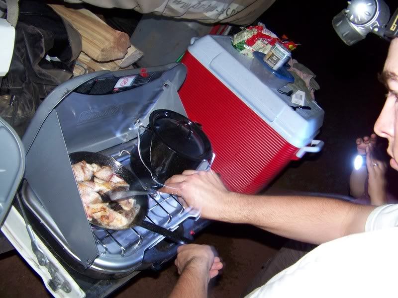
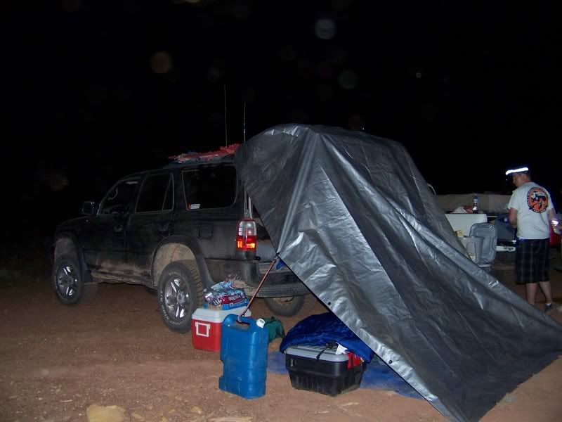
We snapped pictures of the area and then determined to have a little fun with firearms. After shooting, we decided that we would camp right there in the middle of town, and began to set up camp. As Jason and Thomas started the campfire, Mariko and I cooked up some dinner mmm… Bacon wrapped chicken and couscous with some green beans! We all sat around the campfire as Thomas played the guitar and sang. Life is good! Later on that night I set up the laptop and downloaded all the waypoints for the next few days and we all crashed for the night.
Heading up the wrong wash:
Photo courtesy of Jason Goates

100_1768.jpg


Photo courtesy of Jason Goates

100_1769.jpg

Temple Mountain Ghost Town:

2648020972_7c017249a5_b.jpg


Photo courtesy of Jason Goates

100_1781.jpg


Photo courtesy of Jason Goates

100_1789.jpg


Photo courtesy of Jason Goates

100_1796.jpg


Photo courtesy of Jason Goates

100_1790.jpg


Food:
Photo courtesy of Jason Goates

100_1802.jpg


Camp #2:
Photo courtesy of Jason Goates

100_1804.jpg
 

Paul R

Well-Known Member
Location
SLC
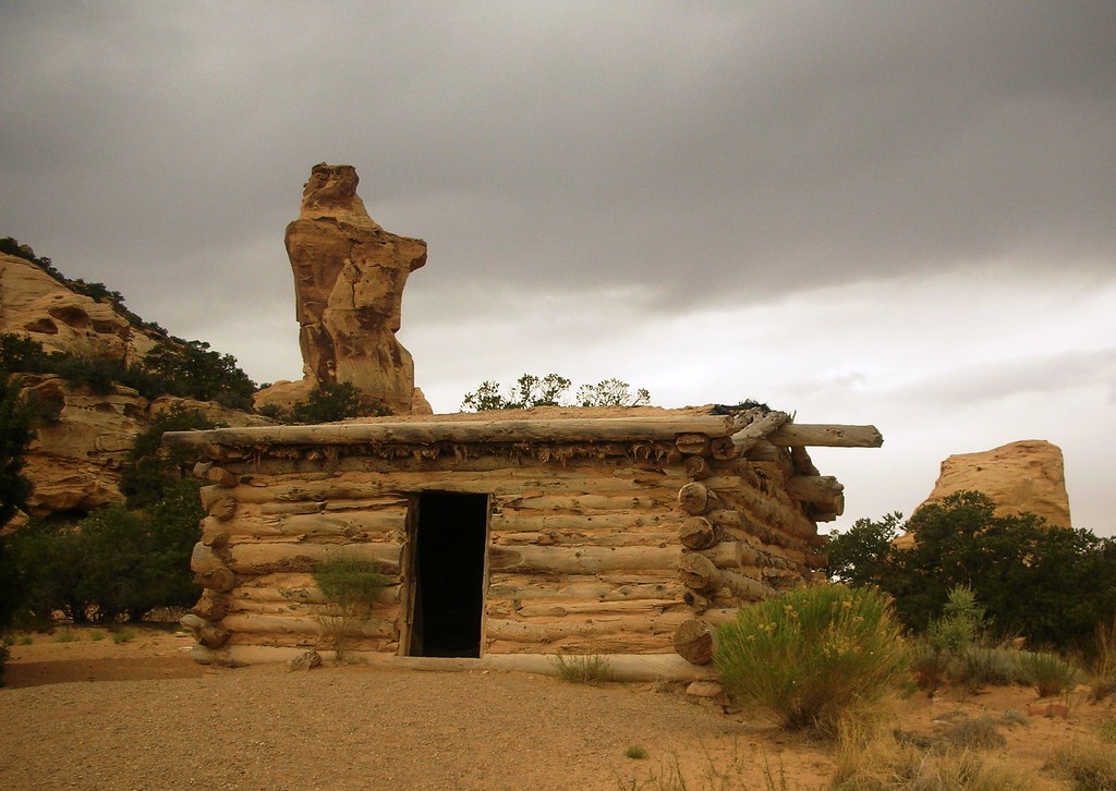
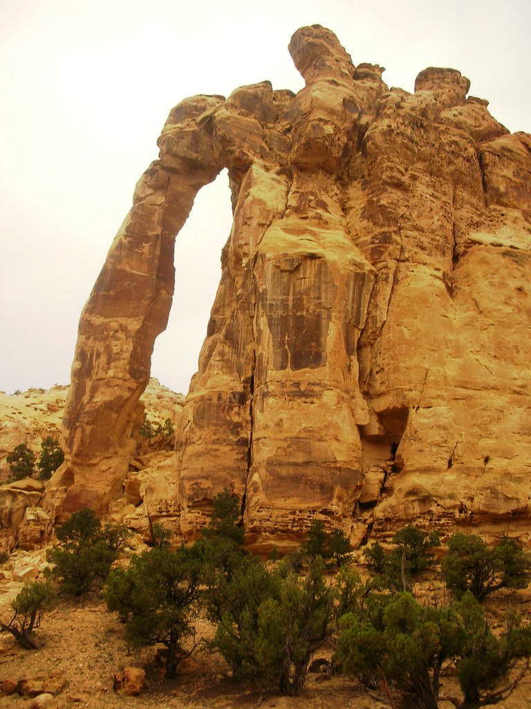
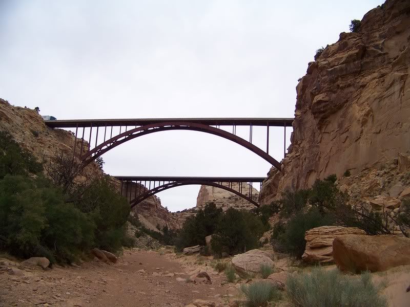
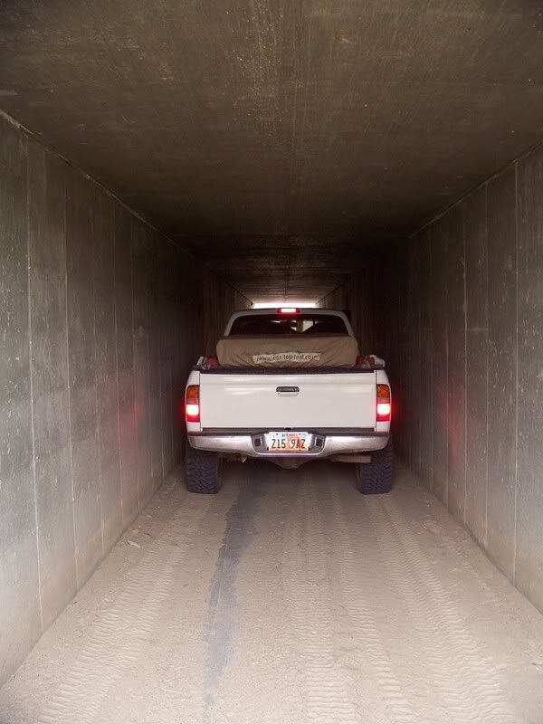
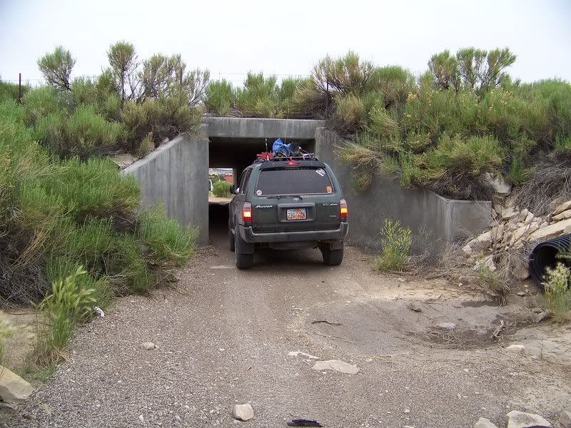
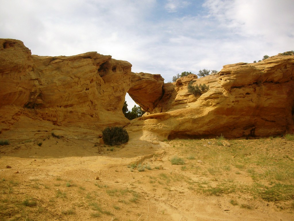
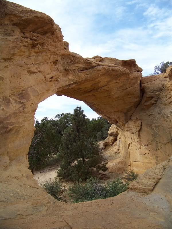
We woke up to a slightly overcast day which was welcomed as the desert is usually extremely hot in July. Thomas cooked us up some great breakfast burritos, and we each took turns using the solar shower. It felt great to be in the middle of nowhere and clean, even though for a while we had to hold the shower shelter down before it became a kite in the big wind bursts. With one of the poles of the shower shelter tweaked, we staked down the shelter at all corners. I don’t think I will be able to go without the shower in the future, and will have to come up with some better solutions. After breaking camp we made our way to Swasey’s Cabin via Rod’s Valley Trail. After hiking around and finding some sweet little areas behind the cabin, Jason snapped some great pics and we started going down Eagle Canyon. It was a fun trail as it came to a giant arch and crossed through washes and underneath the I-70 trestles which towered above. We continued through and wound back up on the south side of I-70 again after crossing through an extremely narrow culvert.
Swasey’s Cabin:

2648021454_6f6de99630_b.jpg

Sweet pictures Jason took behind Swasey’s Cabin:
Photo courtesy of Jason Goates
100_1817.jpg


Photo courtesy of Jason Goates
100_1815.jpg


Photo courtesy of Jason Goates
100_1822.jpg


Photo courtesy of Jason Goates
100_1813.jpg


Photo courtesy of Jason Goates
100_1811.jpg


Eagle Canyon Arch:

2647190691_2e1dc19637_b.jpg


I-70 Bridges:
Photo courtesy of Jason Goates
100_1836.jpg


Photo courtesy of Jason Goates
100_1839.jpg


Photo courtesy of Jason Goates
100_1844.jpg
 

Paul R

Well-Known Member
Location
SLC
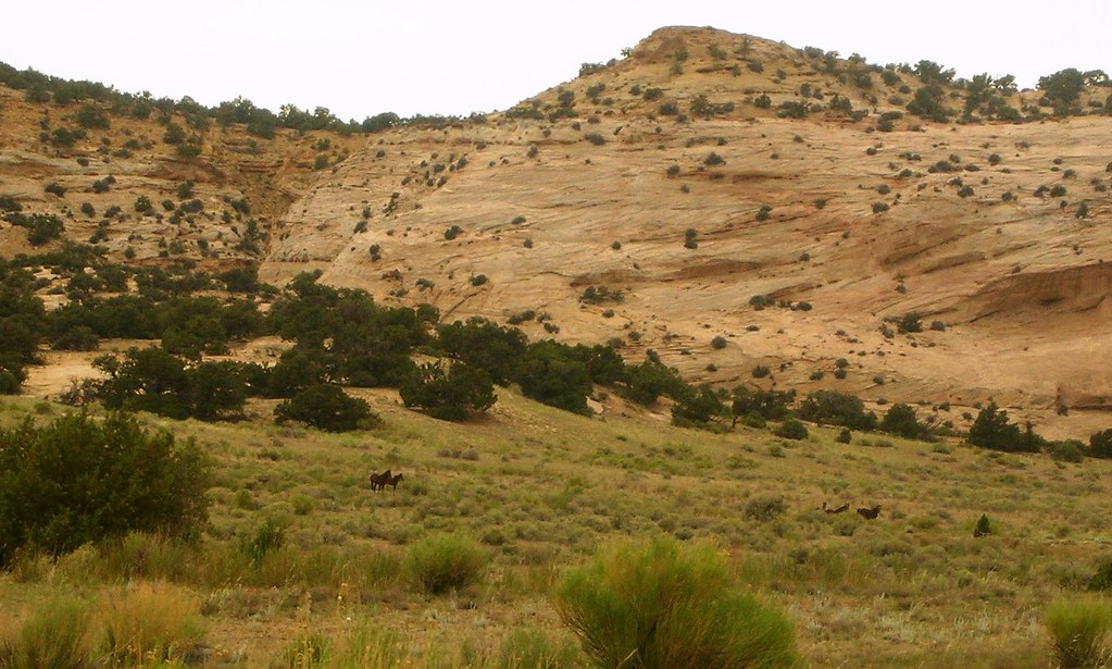
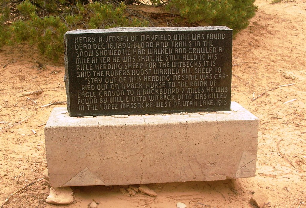
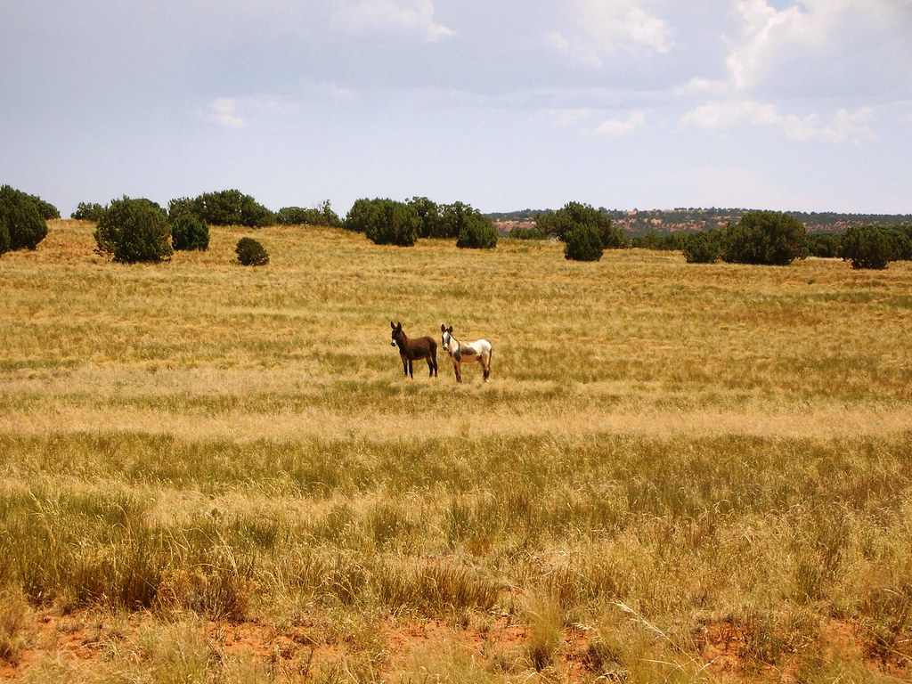
Our intentions were to get over to the Copper Globe mine. Heading south after taking a few wrong turns, we got ourselves back on track. It was kind of funny, because for lots of the way we were following what appeared to be passenger car tracks that were carefully placed as to not harm the vehicle. Then as the road dropped down a ledge the tracks turned around accompanied by plenty of foot prints. It was obvious that someone didn’t understand what they were getting into, but lucky for them it appears that they were able to turn around and get back out as we never came across anyone else in the area. We had read about the wild horses that roam around on top of Justensen Flats, so we were on the lookout for them. Just as soon as we came up to the flats, there they were. There was about 8-10 wild mustangs, most of which had the same white marking on the front of its forehead. We continued to the Sheepherder’s End marker which tells the story of a sheep herder who was reportedly been shot and killed by a group from the robbers roost. As the story goes, he had been warned on several occasions by some of the boys from the Roost Gang that he’d be shot if he continued to run the sheep through the area. He was found one mile from where he’d dragged himself, and died after being shot. We continued on and finally found the Copper Globe Mine.

Wild Horses:
2647190791_3f1f94b53e_b.jpg

Sheepherder’s End Marker:
2692331343_6b5bd6a490_b.jpg


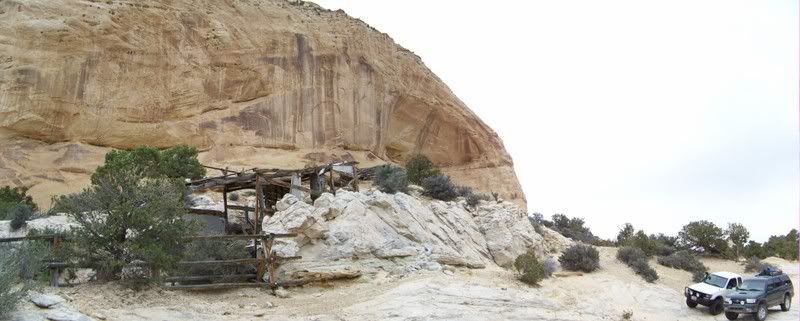
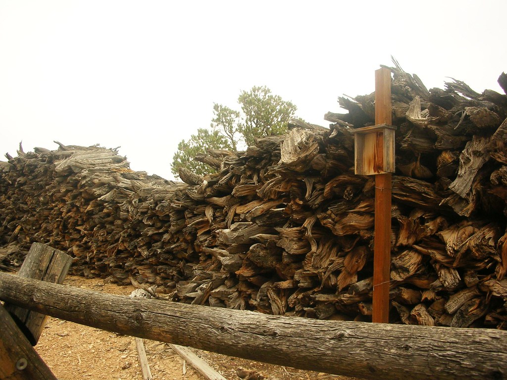
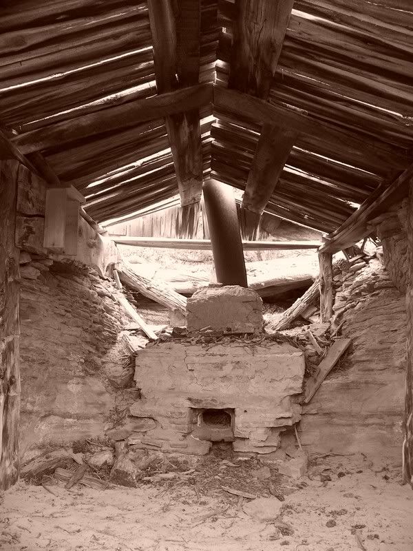
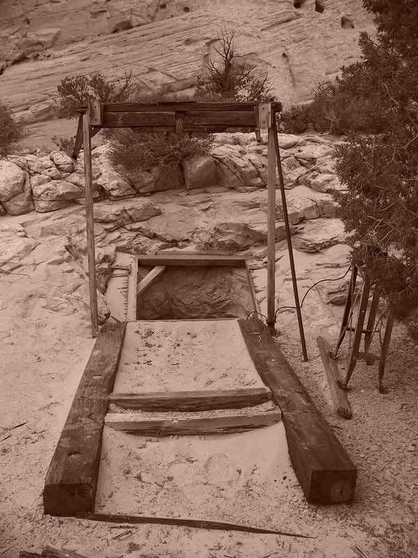
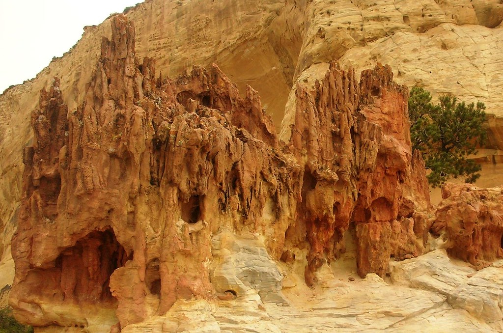
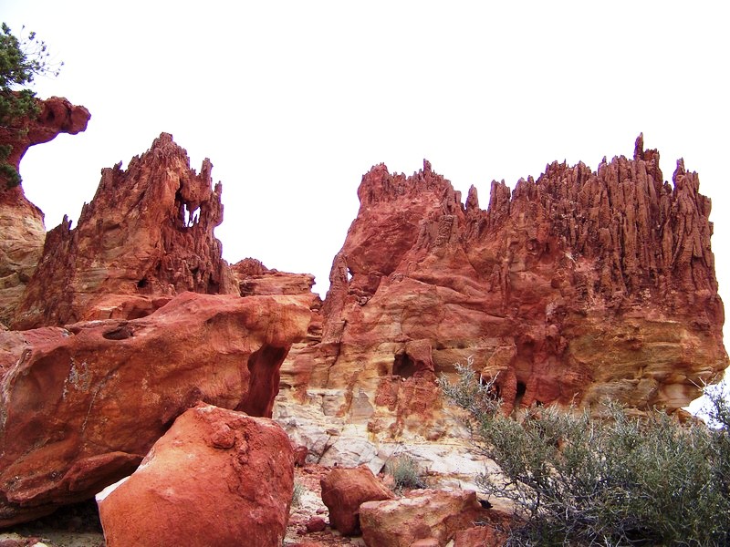
Copper Globe Mine was a copper mine from the early 1900’s that never really took off, due to it not being cost effective to ship the ore. The owners built a smelter on site, however they made one major mistake; they used regular building bricks which melted into glass about the same time that the ore started to melt. There is still a big pile of wood at the mine that was gathered to use in the smelter. The mine never really took off and shut down. Today there are a few shafts, some old cabins, cowboy glyphs, and a rain catch left. There are also some really cool small rock formations in the area.
Copper Globe Mine Area:
Photo courtesy of Jason Goates
100_1893.jpg


2647191789_323a92cbb0_b.jpg


Photo courtesy of Jason Goates
100_1873.jpg


Mine Shafts:
Photo courtesy of Jason Goates
100_1868.jpg


Photo courtesy of Jason Goates
100_1864.jpg


Photo courtesy of Jason Goates
100_1892.jpg


Rock Formations:
2693302180_5e9e5de3bf_b.jpg


Photo courtesy of Jason Goates
2692497029_c23c56eaf5_o.jpg
 

Paul R

Well-Known Member
Location
SLC
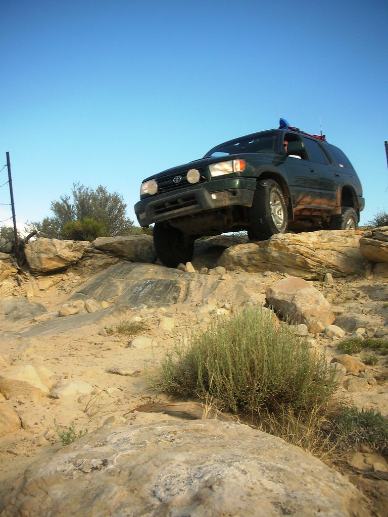
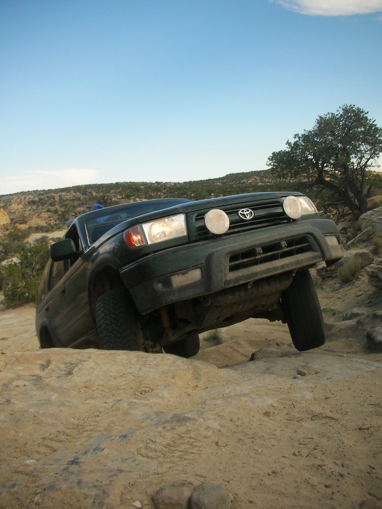
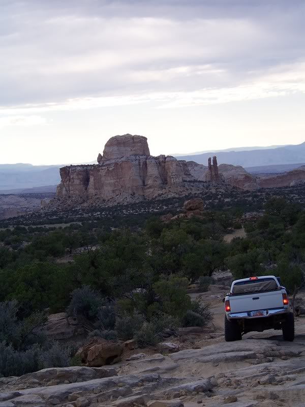
After wandering around the mine area we ate a quick lunch and wandered back to I-70. Looking for a way to get to Dutchman’s Arch we ended up over shooting it (no turnoffs) and backtracking along the road and through another culvert. We played around for a bit hiking around Dutchman’s Arch, took a few pictures, and drove up the road to the start of The Devil’s Racetrack (DRT). The DRT was an absolute blast and a beautiful trail! We wandered up and over slick rock slabs taking our time at some of the scenic overlooks, having a fun time finding the different formations; the Two Priests, Joe and his Dog, Slipper Arch, etc. We got on the trail a little bit later than we had planned, so we figured we would just camp wherever we found a good spot. Around 7 PM we finished DRT and still no sign of a good camping spot so we continued up Coal Wash. From Coal Wash we left BLM land, basked in an awesome sunset and there were still no great camping areas. So we traveled on, passing the area to hike to Sid’s Mountain Cabin and arrive at Fuller Bottoms.

Dutchman’s Arch:

2692331653_a78996d66a_b.jpg

Photo courtesy of Jason Goates
100_1904.jpg


Cliff Overlook DRT:

Photo courtesy of Jason Goates
100_1911.jpg


DRT:

2693145714_15767da3e6_b.jpg


2693146192_bd720a5cc9_b.jpg


Photo courtesy of Jason Goates
100_1922.jpg


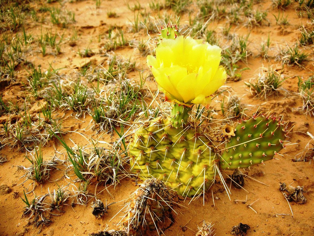
Flowering Cactus on DRT:

2648023892_3e73a4dce9_b.jpg


Sand Berm in Coal Wash:

2693146330_74c1811a75_b.jpg


Sunset Pics:
Photo courtesy of Jason Goates
100_1935.jpg


Photo courtesy of Jason Goates

100_1938.jpg
 

Paul R

Well-Known Member
Location
SLC
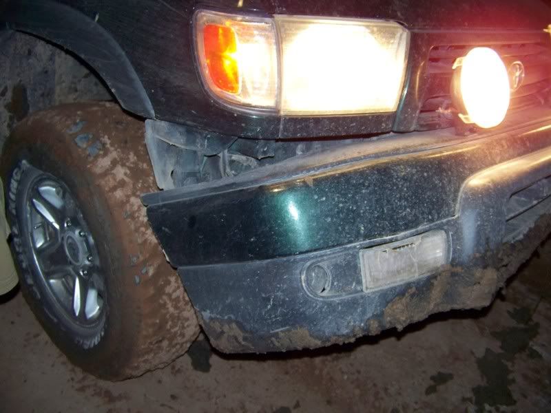
This is where we had a somewhat exciting time as we came to the river crossing for the San Rafael River. It was pretty dark and we had a hard time seeing how deep the water was. I did not want to wade through the water as we probably should have done, so I drove down to the edge and shined my lights into it while Jason and Thomas used a spotlight trying to see the bottom. We still couldn’t see the bottom but started to use reason. The road is well defined on both sides of the river, we haven’t had any major rain in a while, there is basically no current, and there were fairly fresh ATV tracks going into the river, so I decided to go for it leaving Jason and Thomas back to pull me out if necessary. Of course the crossing was no big deal but still fun to cross, about as high as the tires. Now it was Jason’s turn to cross. He started down the small slope into the muddy quick-sandish pit, and all of a sudden he came to a stop with a loud thud. When I was sitting before, my front tires sank fairly deep into some quicksand leaving a large hole that Jason had now found with his front bumper. He sat stuck for a minute unable to go forward or back, after some kind of last ditch effort (rear locker) he was finally able to back out with his front bumper a little worse for the wear. He then crossed the river and we continued down the road. After getting spit out on to the Green River Cutoff Road we decided to head down Buckhorn Wash and finally found a decent spot to spend the night.

Crossing the San Rafael River:
Video Courtesy of Jason Goates
http://www.youtube.com/watch?v=pVis4psv5JU&eurl=http://www.facebook.com/posted.php?id=592805510&share_id=22329342241

Damage to Jason’s front bumper:
Photo courtesy of Jason Goates
100_1943.jpg


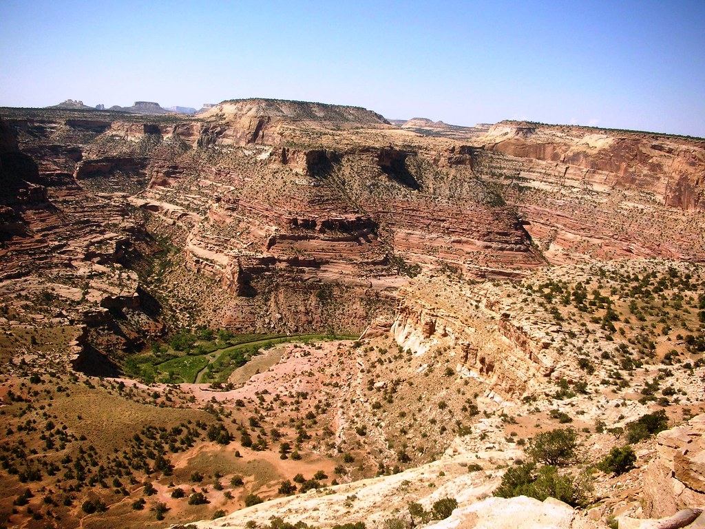
In the morning we hung around camp, ate some breakfast, took a walk up a little side canyon, and shot at some beer cans that were leftover from those before us before. We packed up camp and headed to the wedge overlook. It is really hard to get a good picture of the wedge because the canyon really needs to have a giant panorama to capture it all. We did manage some great photos and hung out at different overlooks. On our way out we took a little side road over to the Little Grand Canyon overlook. Jason and Thomas were in the lead, and suddenly they both jumped out of the truck and wave at us to follow them. When we got out to see what could possibly warrant so much excitement we were disappointed to hear that we had just missed a group of Desert Bighorn Sheep. They had apparently jumped right off the cliff next to us to another ledge moving quickly away. We then were able to walk back a ways and see a mom with three young ones dashing from rock to rock down the canyon side. It was certainly a great site to see, and we all felt pretty lucky to catch a glimpse of these sure footed roamers.

The Wedge Overlook:
2693302456_38151a8cf4_b.jpg

Little Grand Canyon Overlook:
Photo courtesy of Jason Goates
100_1946.jpg

Photo courtesy of Jason Goates
100_1949.jpg


Desert Bighorns:
Photo courtesy of Jason Goates
2691981098_8477976f45_o.jpg
 

Paul R

Well-Known Member
Location
SLC
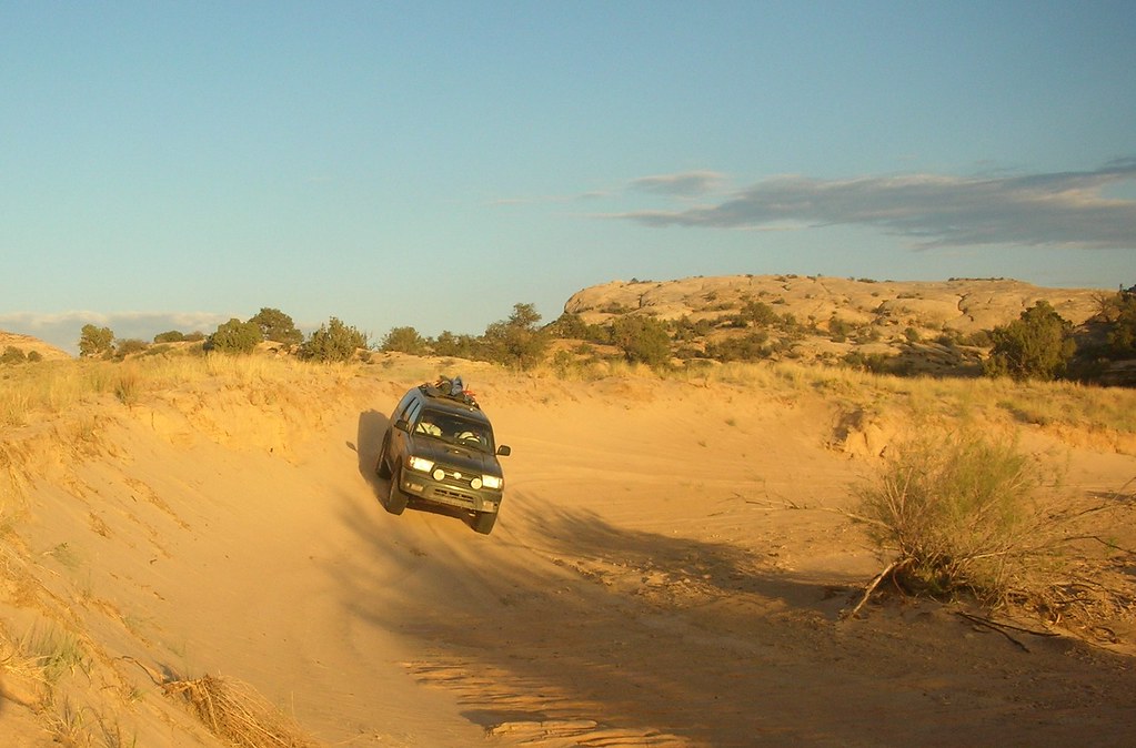
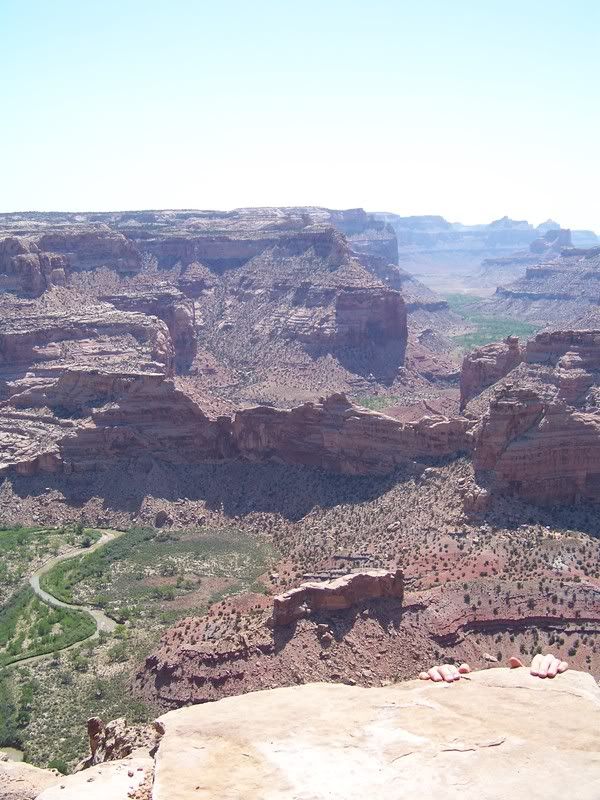
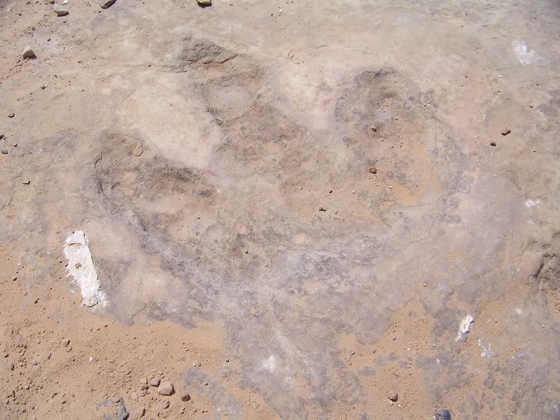
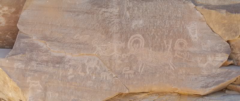
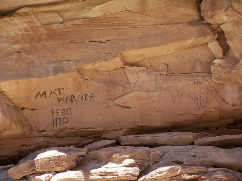
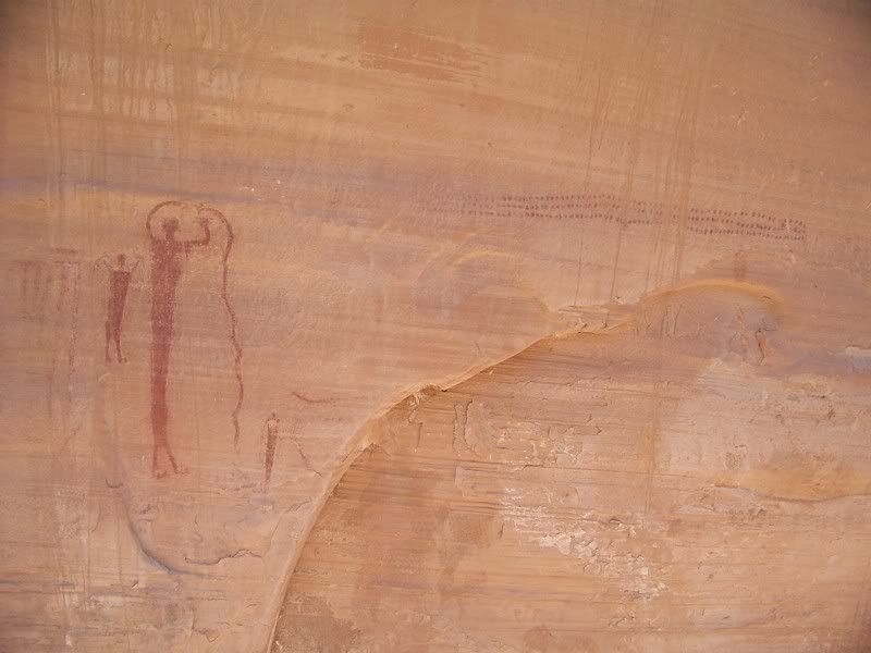
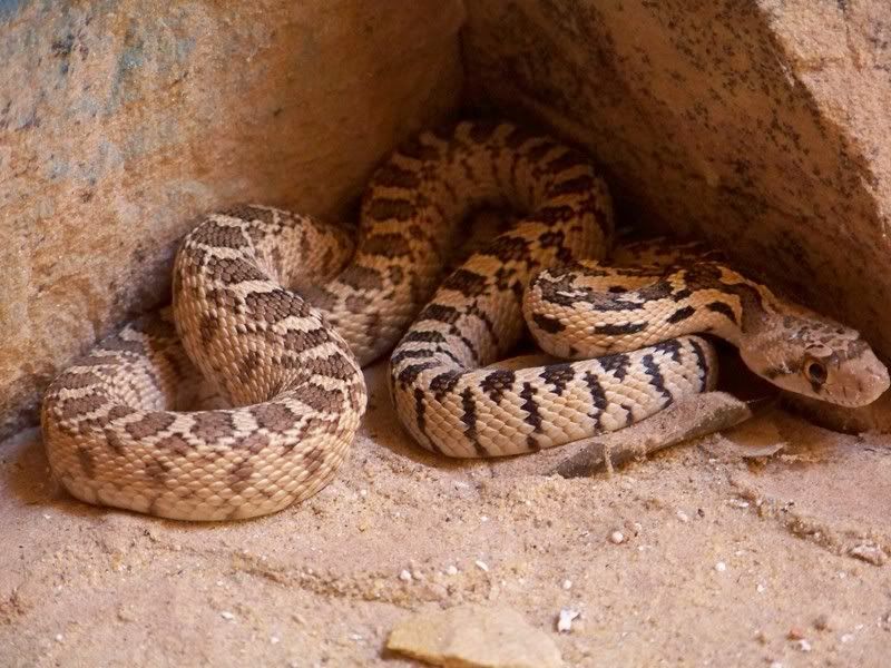
From the Wedge we headed back down Buckhorn Draw with a plan to go down to Black Dragon and out I-70, which would cover part of the getaway route Butch Cassidy and Elza Lay used for the Castlegate holdup; possibly the most famous of all the Wild Bunch’s heists. We took our time down the draw seeing the dinosaur tracks, the Cattleguard Petroglyphs, Matt Warner’s signature, the Buckhorn Pictograph Panel and San Rafael Swinging Bridge. We got down to the turn off at Sinkhole Flats and decided to turn around and go back up to the MK tunnels instead of going out Black Dragon. As we made our way back up to the Green River Cutoff road we pulled some pretty high speeds, but Jason seemed to have some sort of a death wish
wink.gif
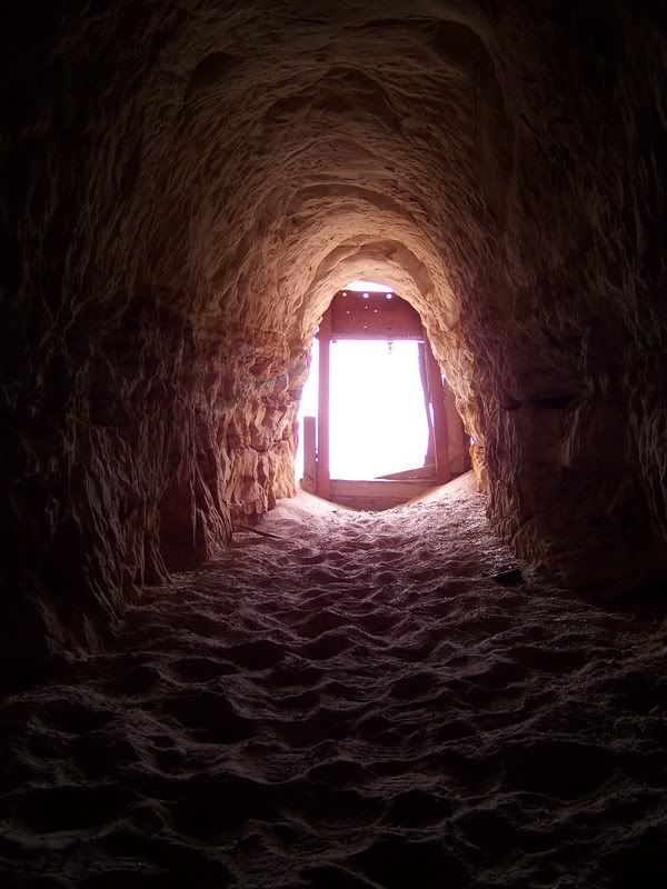
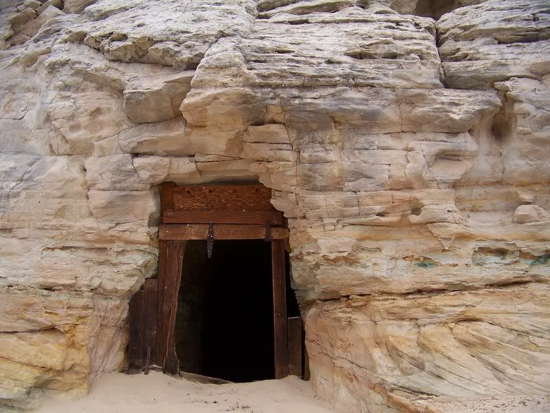
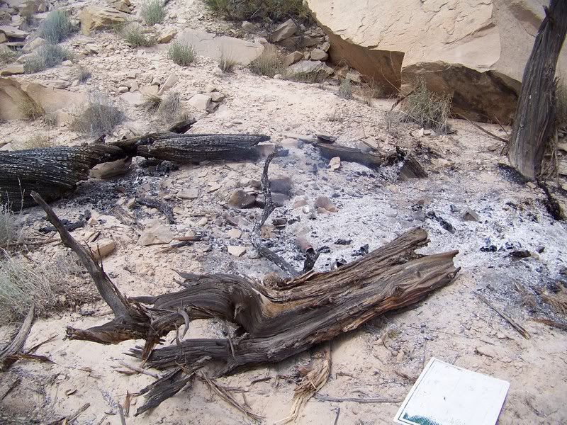
. Every turn I half expected to see a cloud of dust and a mangled 4runner in a ditch, but luckily we all met up in one piece. We headed over to the Government Tunnels and were extremely depressed by what we saw. Lots of vulgar and profane graffiti on every flat surface in and outside of the tunnel. Definitely not a family friendly area anymore
frown.gif
. And to add insult to injury, some jerks (I assume the same group of idiots that had left the fresh tags) left a couple giant logs on fire next to a bunch of dead trees. After a brutally hot hike back up to the trucks to grab a shovel and then back down to the fire, we had the situation under control. We were now home-bound via the Green River Cutoff. After some lunch, fuel, and air up in Wellington we headed up highway 6 stopping briefly at the site of the famous Castlegate robbery. Overall it was a great trip and an awesome adventure; travelling over 800 miles and around 325 miles on dirt.
biggrin.gif


Dino Track:
Photo courtesy of Jason Goates
100_1955.jpg


Cattlegaurd Petroglyphs:
Photo courtesy of Jason Goates
100_1959.jpg

Matt Warner’s Signature:
Photo courtesy of Jason Goates
100_1961.jpg


Buckhorn Pictograph Panel:
Photo courtesy of Jason Goates
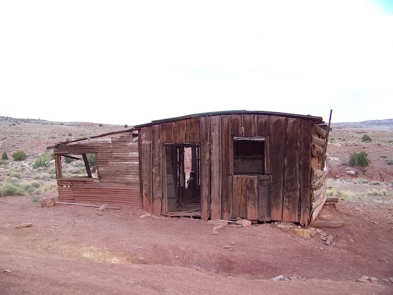
100_1967.jpg


Photo courtesy of Jason Goates
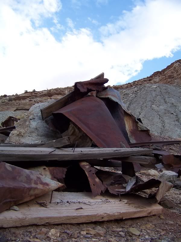
100_1964.jpg


Snake in the MK Tunnels:
Photo courtesy of Jason Goates
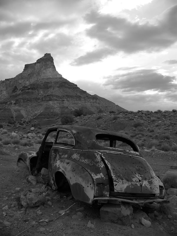
100_1982.jpg


Remnants of the fire left at the MK Tunnels:
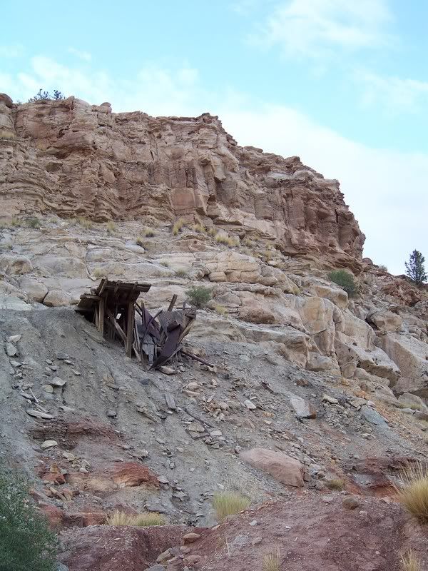
Photo courtesy of Jason Goates
100_1986.jpg
 

Greg

I run a tight ship... wreck
Admin
Incredible report guys! I love seeing trip reports like this, the Swell is a neat area. 800 miles, eh? That's impressive. I love Eagle Canyon, we went thru there with Kurt in the Winter and it was quite a sight. I can't wait to get back there. Thanks for sharing!
 

SAMI

Formerly Beardy McGee
Location
SLC, UT
It was truly a great experience... There's no way that i could've made that trip on 37's, 22re, leaf springs and no AC... Call me a baby, but the new '99 4runner is very nice to pilot. :)
 
Top