You are using an out of date browser. It may not display this or other websites correctly.
You should upgrade or use an alternative browser.
You should upgrade or use an alternative browser.
Opposing the Potential Designation of a Greater Canyonland National Monument
- Thread starter Stephen
- Start date
- Location
- Never Far From Nowhere
Great read! I'm glad to see that we're still keeping up traction on this! Everyone one needs to make their voices heard!
Just went through and did another round of letter to companies etc. They again are still hiding behind the idea that they only meant extractive industries and refuse to admit there is any connection to the SUWA.... It is BS and we still need to keep fighting it. Also we need to continue our support of those against the designation. It is funny how they signed a letter that flat out said that the area needed protection from OHV use, but then say they do not want that???? They are back peddling fast, but very few have the spine to admit they were wrong...
- Location
- Orange County, CA
It's great that you have continued the letter writing! I feel the same regarding the responses from these companies. It's almost like they have refused to read the letter.
I wish 100s of people would continue to write letters.
There was a radio interview of the Sagebrush Coalition against the OIA letter and the companies that signed on to it.
http://www.utahpublicradio.org/post/sagebrush-coalition-pushes-back-expanding-canyonlands
I wish 100s of people would continue to write letters.
There was a radio interview of the Sagebrush Coalition against the OIA letter and the companies that signed on to it.
http://www.utahpublicradio.org/post/sagebrush-coalition-pushes-back-expanding-canyonlands
Just went through and did another round of letter to companies etc. They again are still hiding behind the idea that they only meant extractive industries and refuse to admit there is any connection to the SUWA.... It is BS and we still need to keep fighting it. Also we need to continue our support of those against the designation. It is funny how they signed a letter that flat out said that the area needed protection from OHV use, but then say they do not want that???? They are back peddling fast, but very few have the spine to admit they were wrong...
sixstringsteve
Well-Known Member
- Location
- UT
I finally got a response from Senator Lee's office:
Dear Steve:
Thank you for writing Senator Lee. As you may be aware, the United States Senate is working to pass several pieces of important legislation before the end of the year. I meet with Senator Lee on a regular basis and will be sure to discuss Utah's public land, so he may consider your input before he votes. The Senator appreciates thoughtful suggestions regarding the work in the Senate.
I would like to provide you with some key links so you can know what Senator Lee is working on: www.Lee.Senate.Gov, www.facebook.com/senatormikelee, and www.twitter.com/Senmikelee.
Please feel free to contact us if you have any further questions or if we can be of any assistance. Thank you again for writing, and have a wonderful Christmas Season!
Pete Blair
Office of Senator Michael S. Lee
zukijames
Well-Known Member
- Location
- not moab anymore
maybe we should throw a party for camp chef. are they still the only ones to remove there name from the letter?
Jonathan
Western Colorado
- Location
- Western Colorado
Please see below for day 1 of my tour of the Greater Canyonlands. I owe everyone here an apology for getting this out so late. I hope you enjoy the read. I will be posting day 2 tomorrow.
http://www.expeditionportal.com/for...lands-National-Monument?p=1245660#post1245660
http://www.expeditionportal.com/for...lands-National-Monument?p=1245660#post1245660
X2 amazing pictures and some real interesting insite.Looking forward to Day 2.
Sure, my pleasure. 
Greater Canyonlands Whirlwind Tour
I must first issue an apology. To those who were expecting a quick response that never materialized. I have no excuses just a sincere apology and hopes that you can forgive this egregious tardiness. Please let me know if you want a refund of your generous donation. I have made a donation for $200 from the members of ExPo, IH8MUD and RME Now for the report.
Day 1 of 2
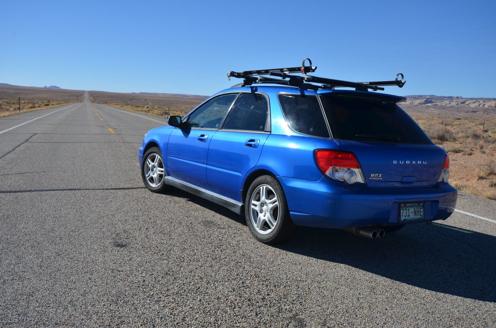
If I had to sum up the Greater Canyonlands in one word it would be MASSIVE. 1.4 million acres is enough territory to over nearly every western US ecosystem, diverse geology and bountiful opportunities. In my 952 miles I traveled from the semi-arid high desert at 4,000’ MSL to ponderosa forests towering to double that figure. The area’s rugged interior can be circumnavigated by a series of well-maintained state and interstate highways which was the basis of my speedy journey. I traveled in my surprisingly capable Subaru which concerned me at first but I eventually discovered that it kept me from becoming augured in to one trail for too long a time. I wouldn’t mind spending days discovering several of said trails.
Before continuing I wanted to thank those who made the trip possible for me, I would not have been able to travel when I did if it weren’t for your generous donations. I have made a donation to the U4WDA (U4WDA.Org)Open Access Fund on behalf of the members of Expedition Portal, IH8MUD and RME4X4 for the amount of $200.00, the leftovers after gas and lodging. Your gestures of support will forever be in my heart and on my mind. Thank You.
I traveled counterclockwise beginning the trip in Green River a town which grew up out of Uranium Mining. It’s a small town of only ~1000 people but serves as a hub for gas and lodging on the I70 corridor. Oil and Gas have also played and still play a role in the area and there are several active and many inactive well sites. I stoped at one of these inactive well sites to see what one looked like after several decades of closure.
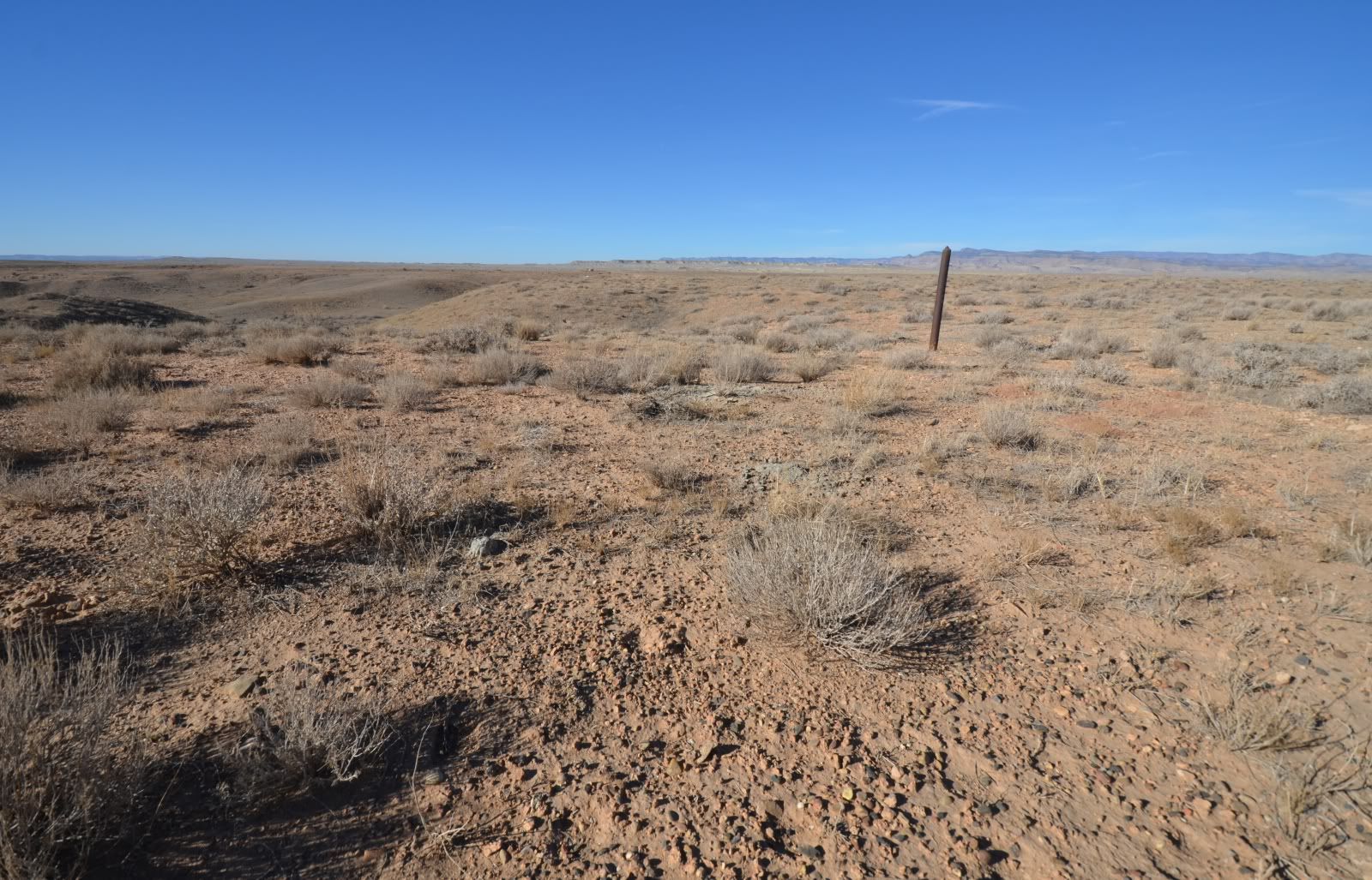
I was impressed with the natural revegetation.
Heading south on highway 24 I was struck by the shear vastness of the landscape.
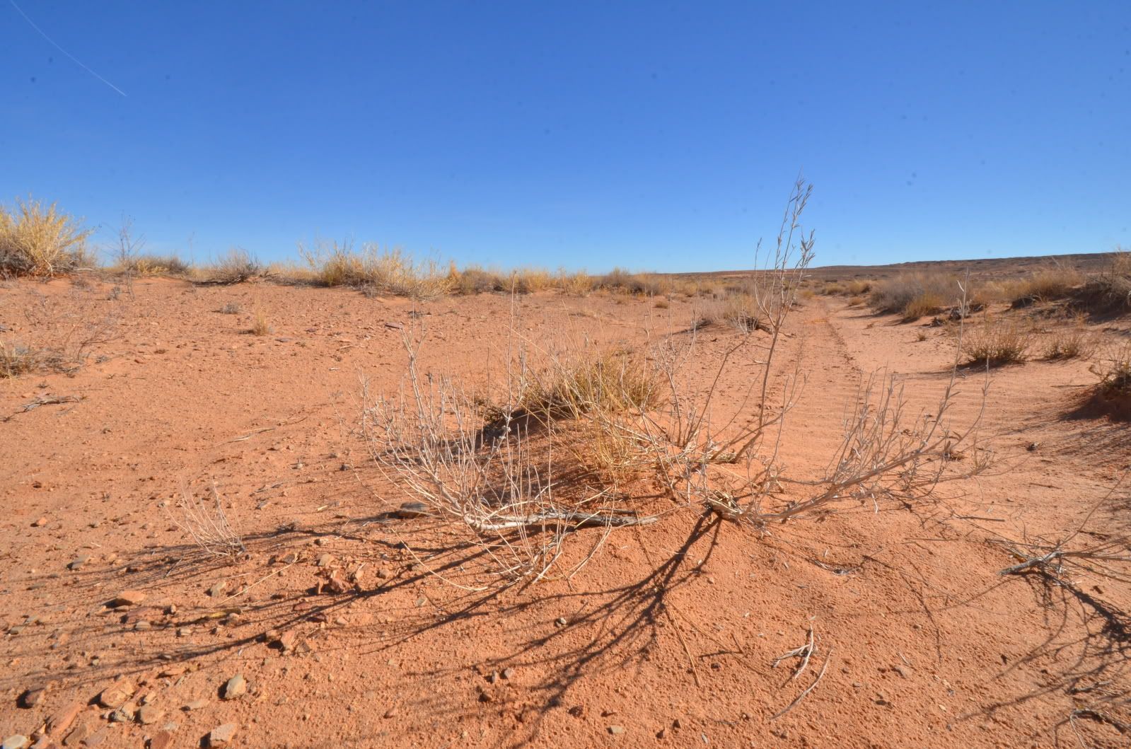
I pulled off the road near Goblin Valley on a small unmarked road wondering if it would lead me into the GC. What I found was active ranching in an open landscape.
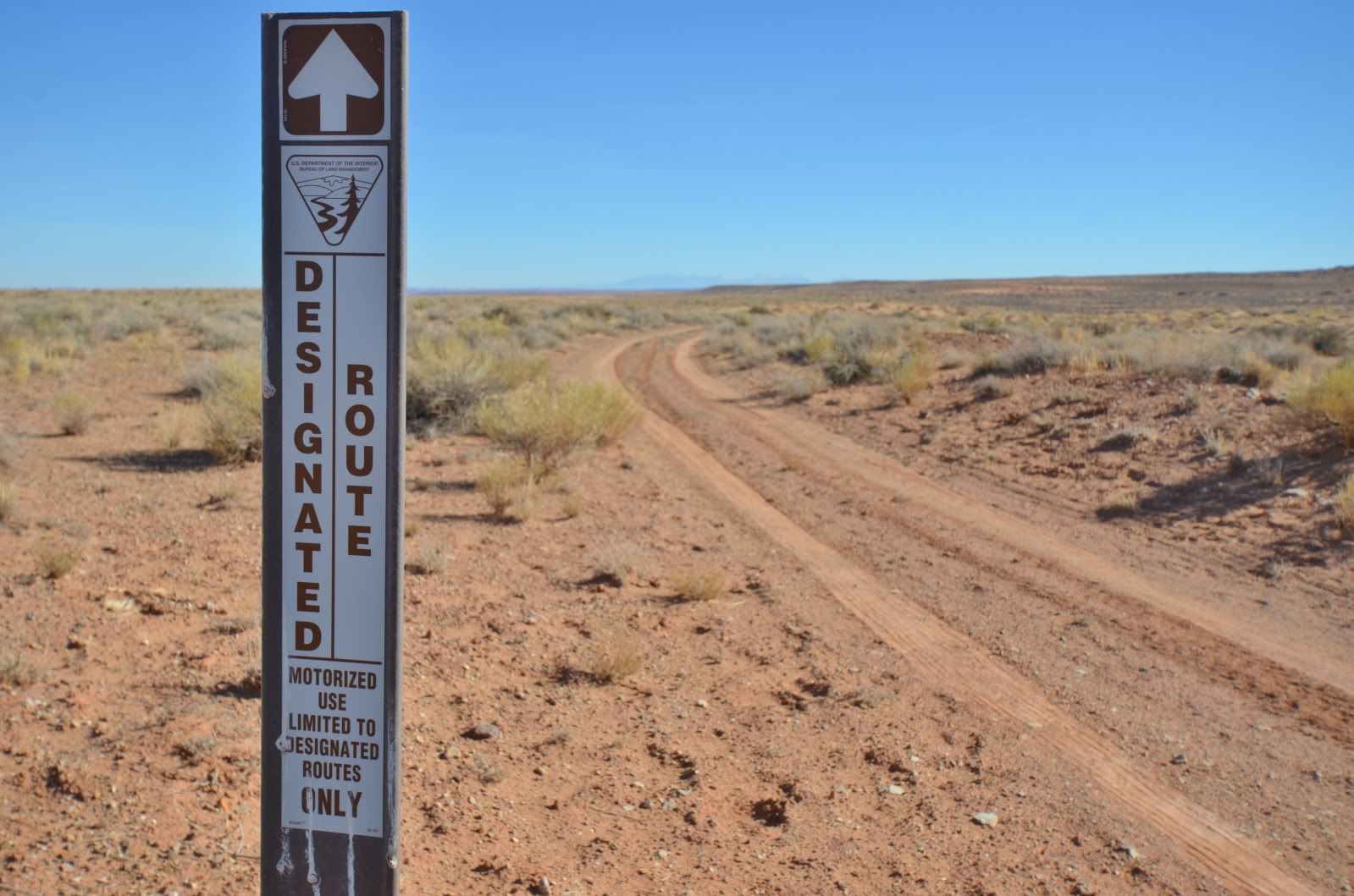
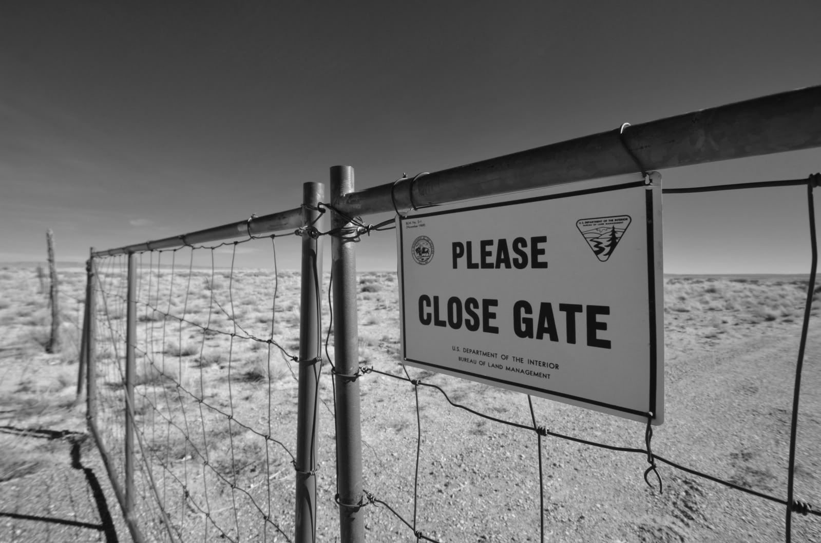
Designated routes were well marked and I had no issues navigating the area.
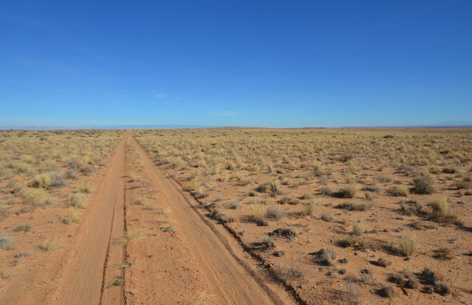
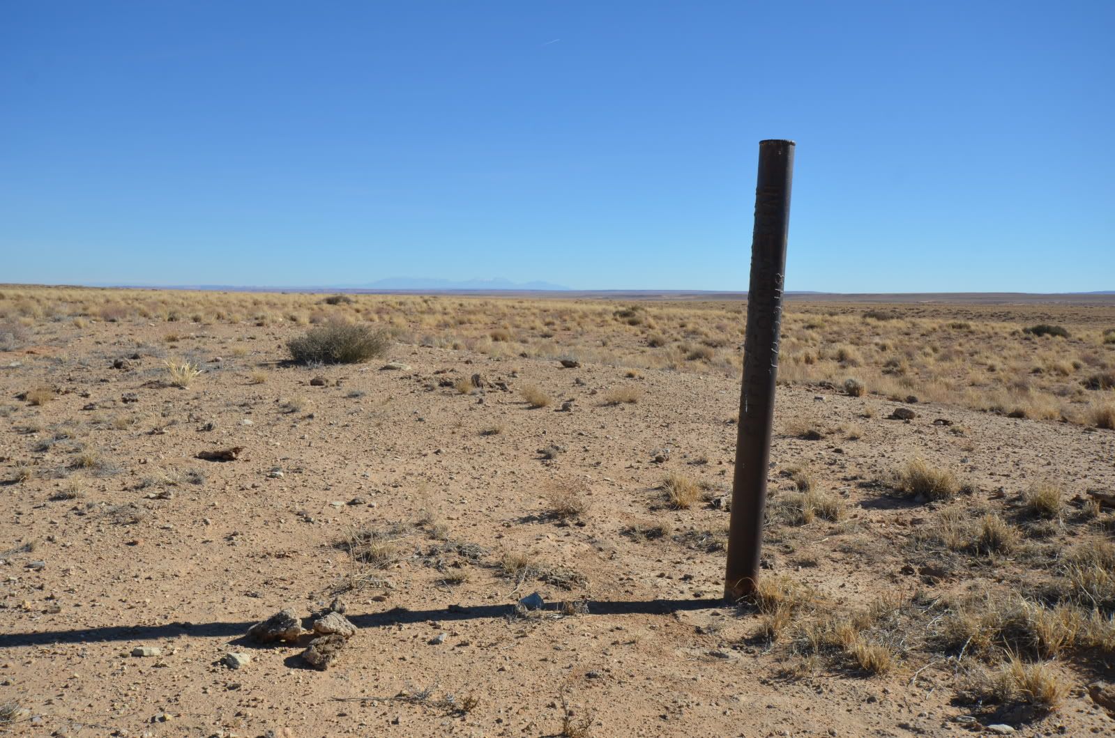
The area was spotted with plugged and abandoned Oil and Gas wells.
I continued south on Highway 24 to the next major intersection. This was the maintained road leading into Canyonlands National Park, specifically the Horseshoe Canyon area.
The thing that immediately struck me was the amount of erosion on this road. This dirt access into a National Park was far more degraded than the roads I had been on previously. At 40-60’ wide and up to 6 feet deep in areas this road represents the most significant ecological damage I will see in the next two days. It’s important to note this road is maintained for recreational access to the existing National Park. Is the OHV community really the problem?
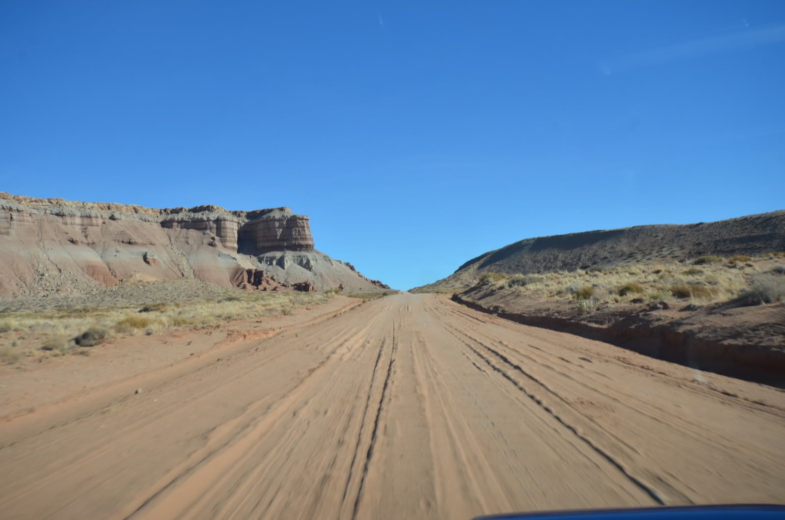
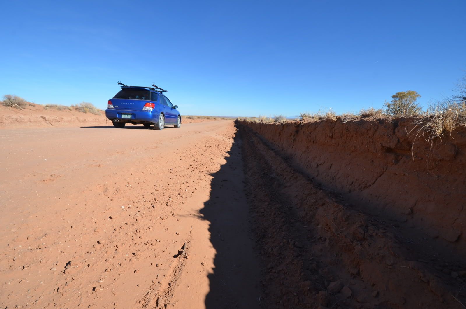
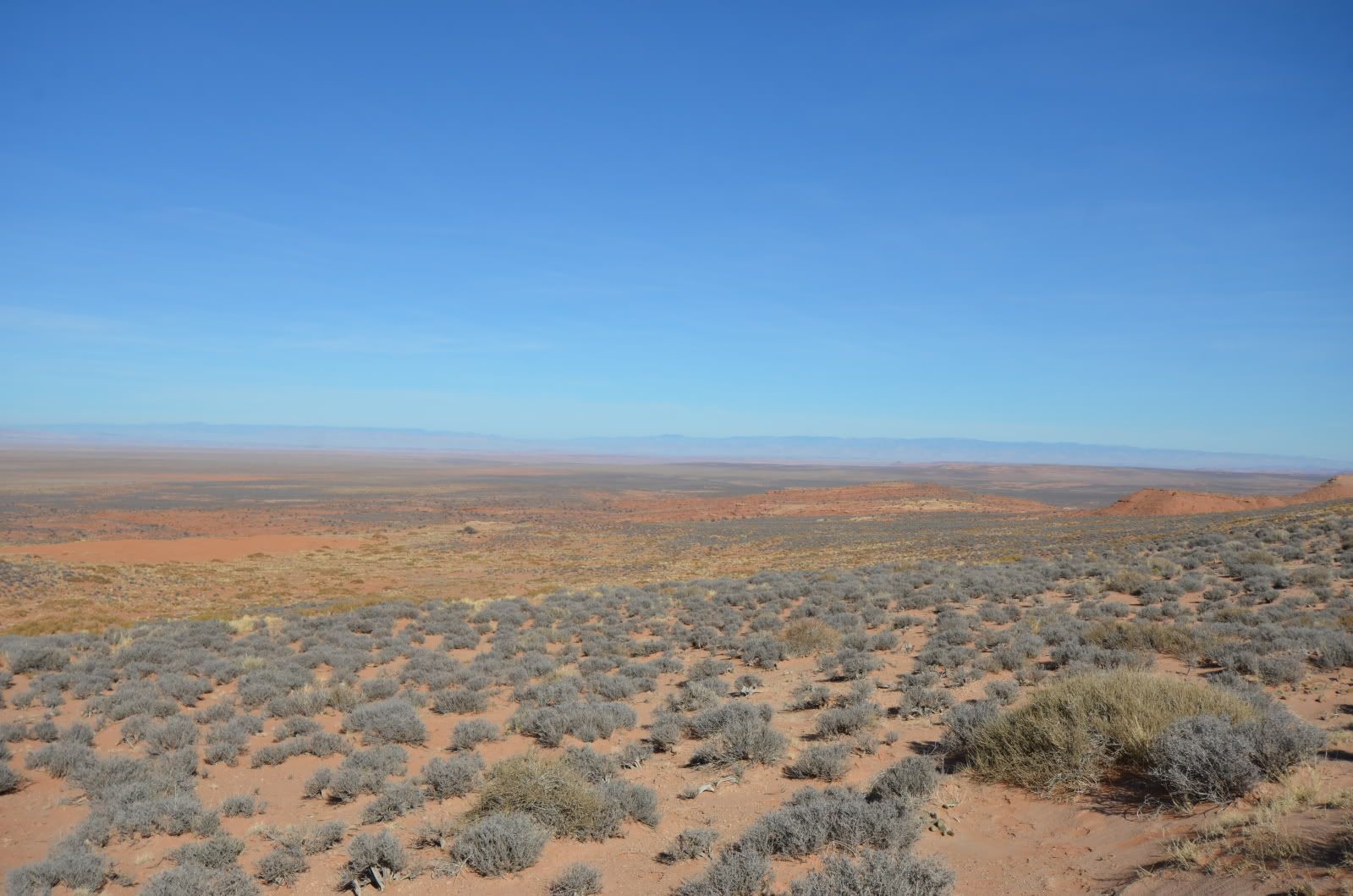
As I made my way towards the national monument I saw evidence of a rich and diverse yet struggling ranching industry.
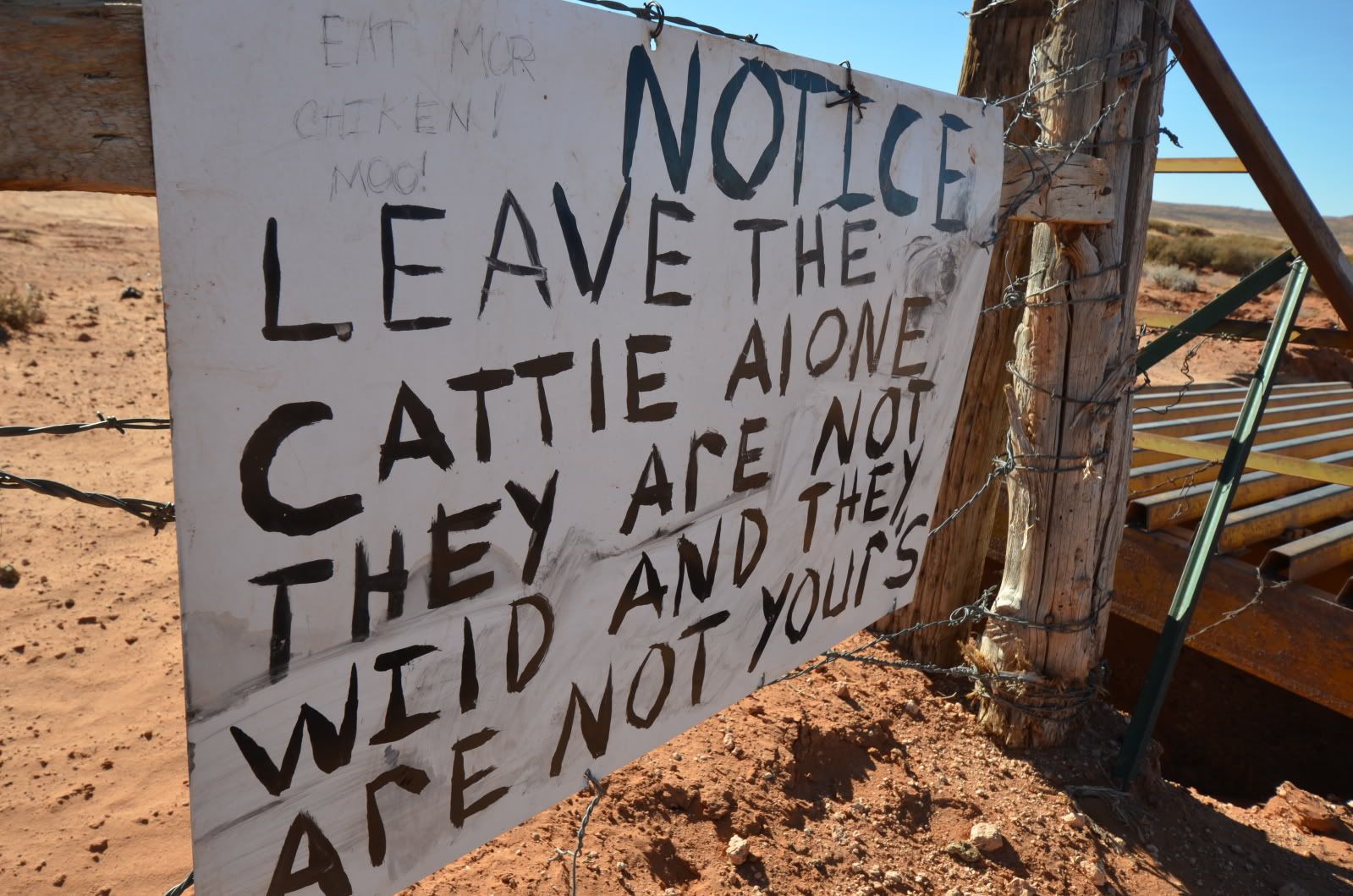
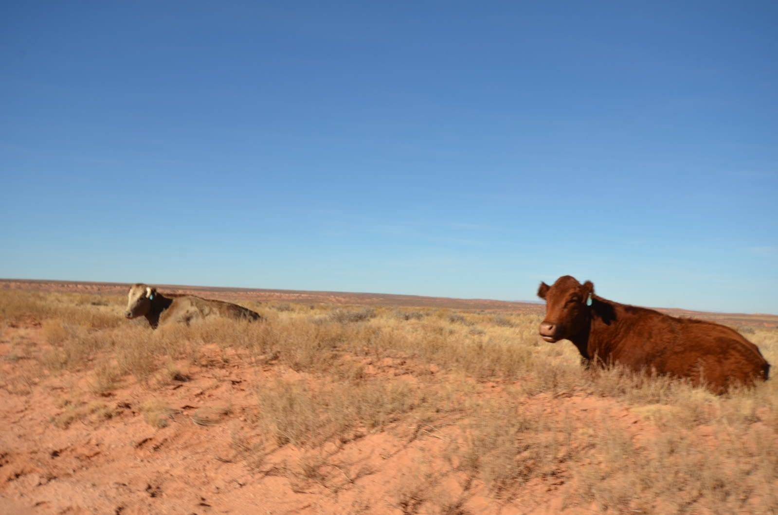
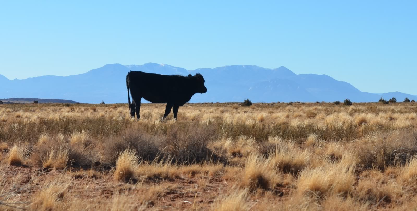
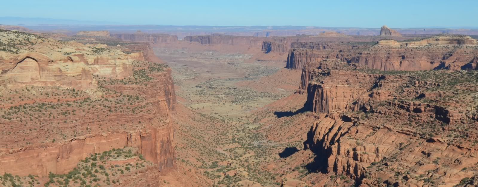
The Park boundary let me get a ttaste of an area that is already (justifiably) protected.
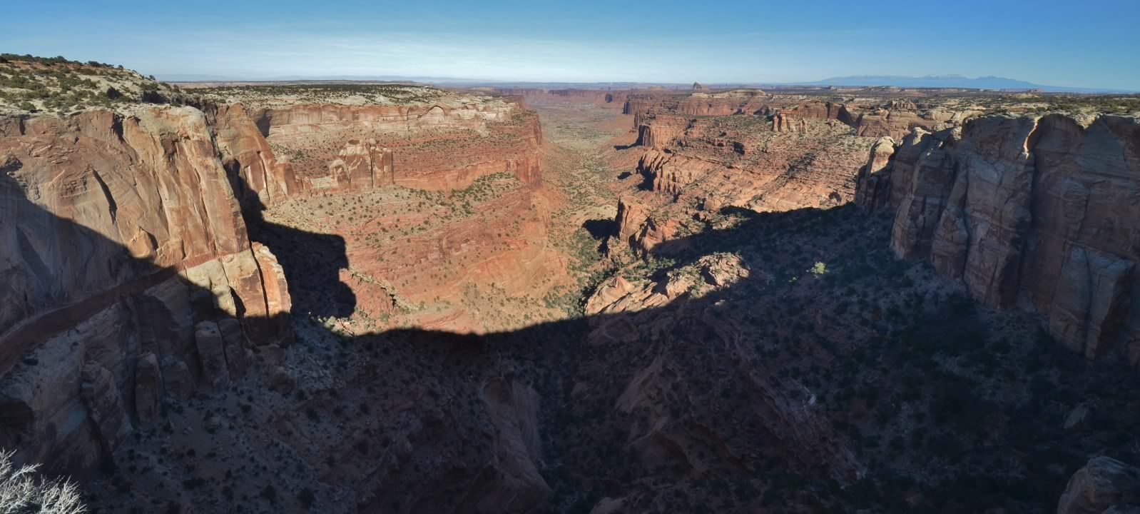
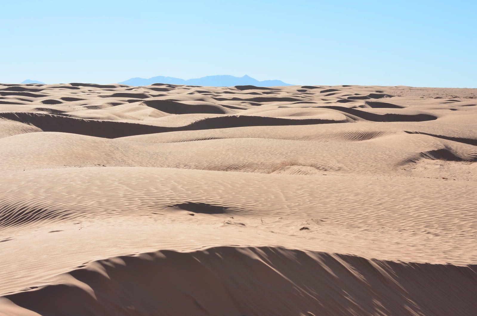
Day 1 continued on next post.
.
Day 1 continued.
Leaving the Western Canyonlands access I continued south to Hanksville, a smaller town than green river, It’s dust covered streets reminiscent of western movies I watched as a child. A population of only 219 in 2010, Hanksville was once a hub of Uranium mining in the 50s and 60s. Prior to the atomic era it was a hideout for the likes of Butch Cassidy and the Wild Bunch. Today it serves as a refueling outpost for tourist and a graveyard for lake Powell houseboats.
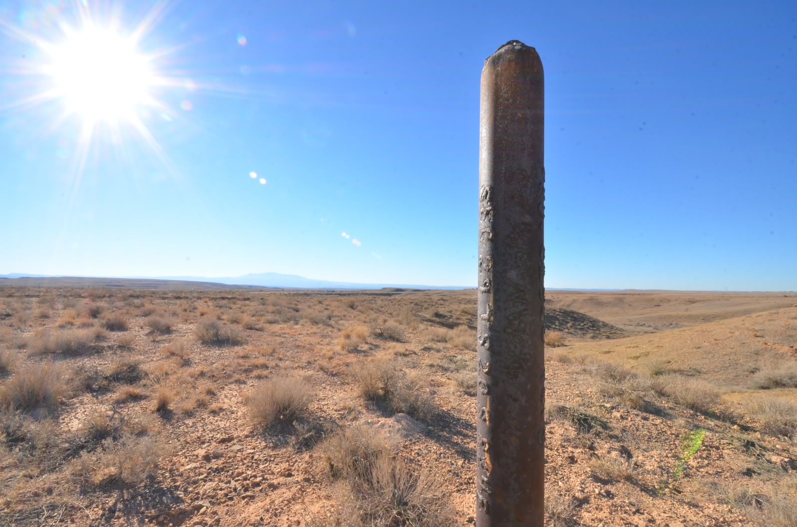
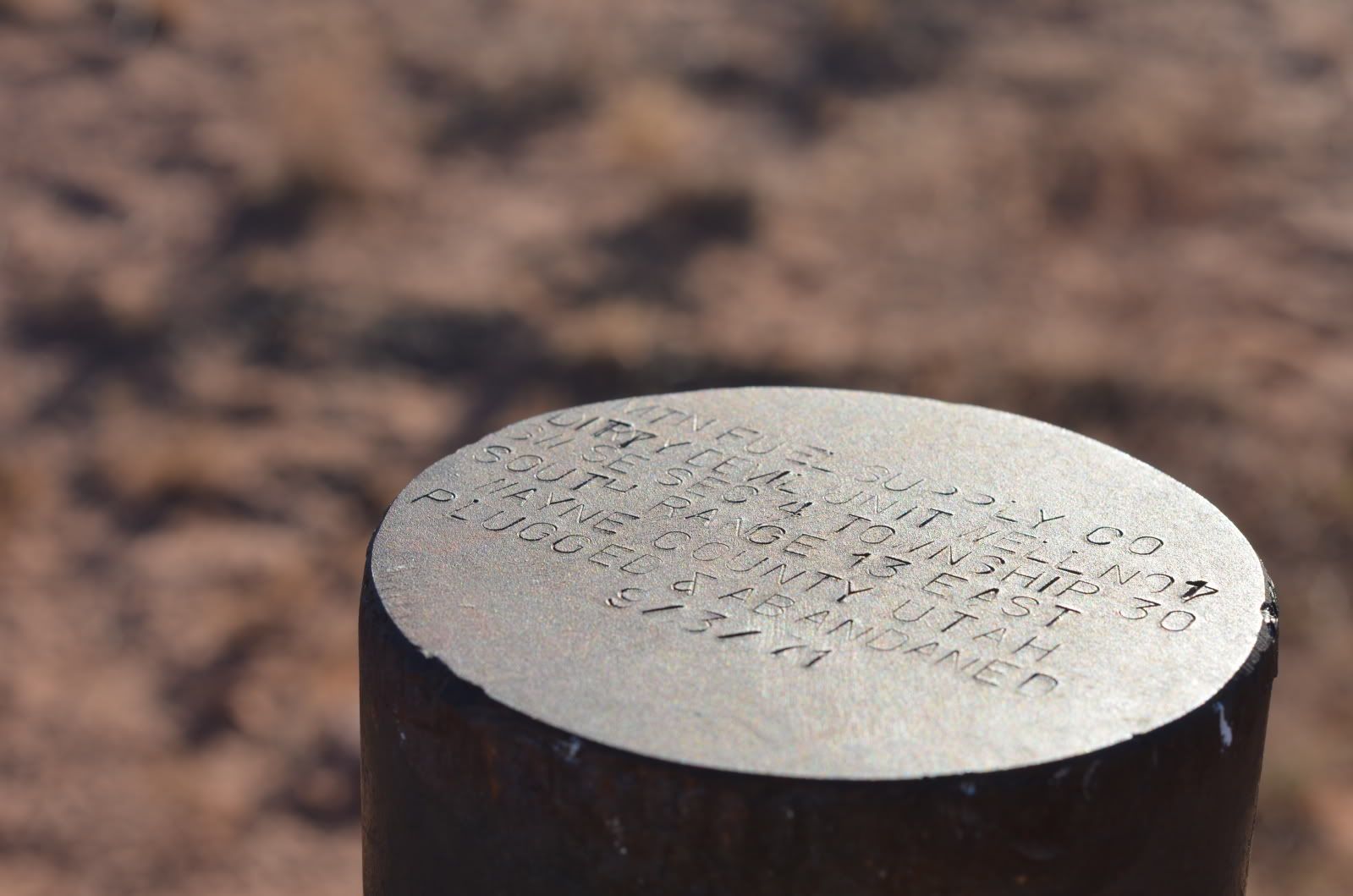
I entered the outskirts of the GC just east of Hanksville, traveling through well maintained roads, I came across yet more abandoned well sites. The common theme I have seen with these was that if it wern’t for the mandatory steel maker, most people would never know these were once bustling well sites. This steel tombstone, marked with the name of the long since defunct operator and the legal description is all that remains of the tireless work done many decades ago.
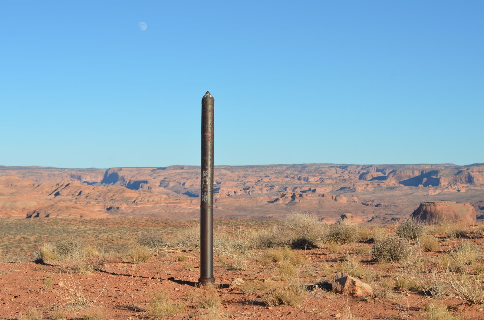
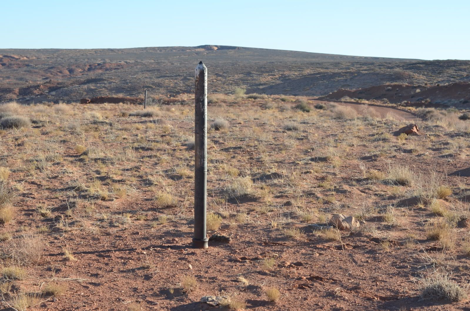
The views from this area were spectacular. These are the Henry Mountains (not in the proposed monument) as viewed from the southern end of the GC.

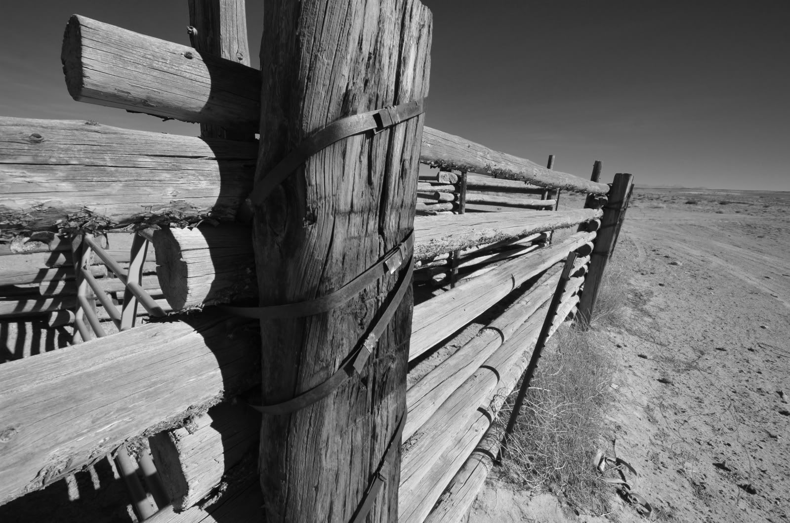
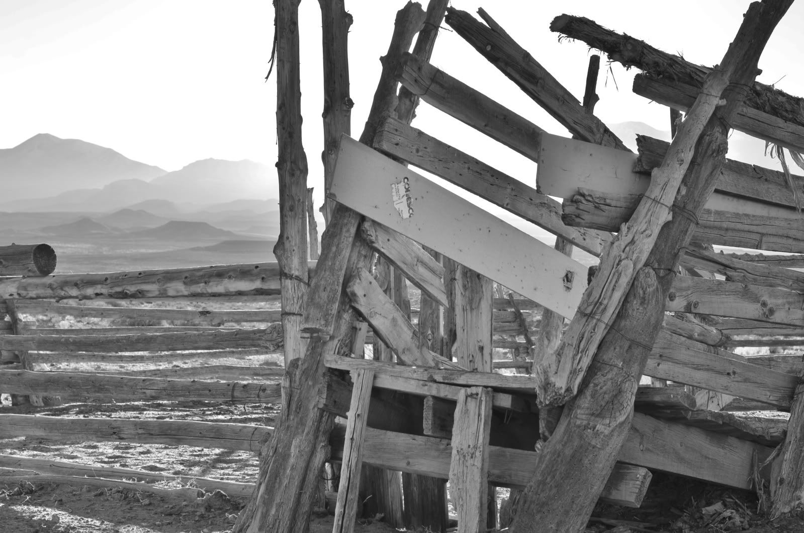
Ranching was still prevalent and active corrals could be seen in several areas.
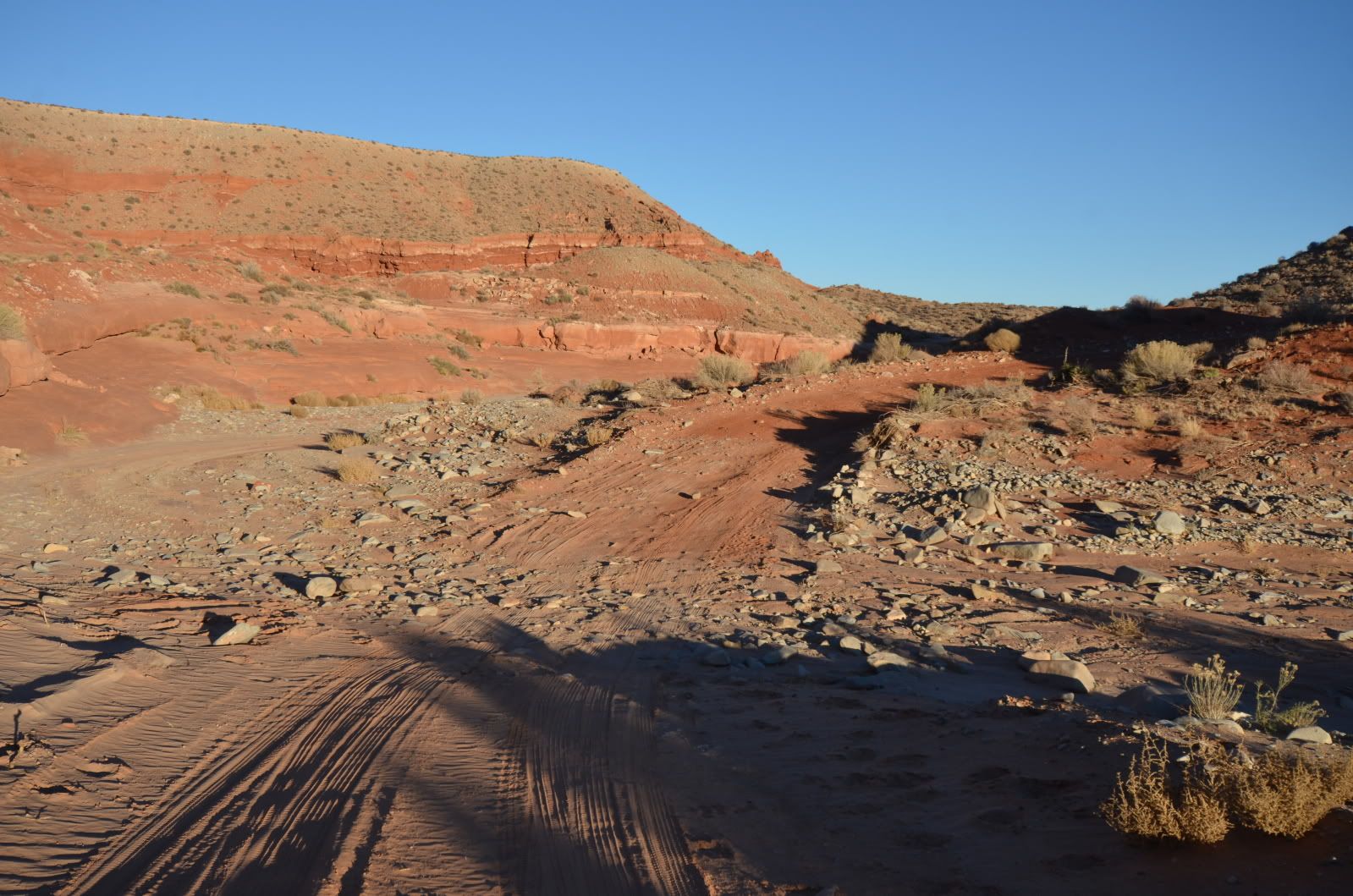
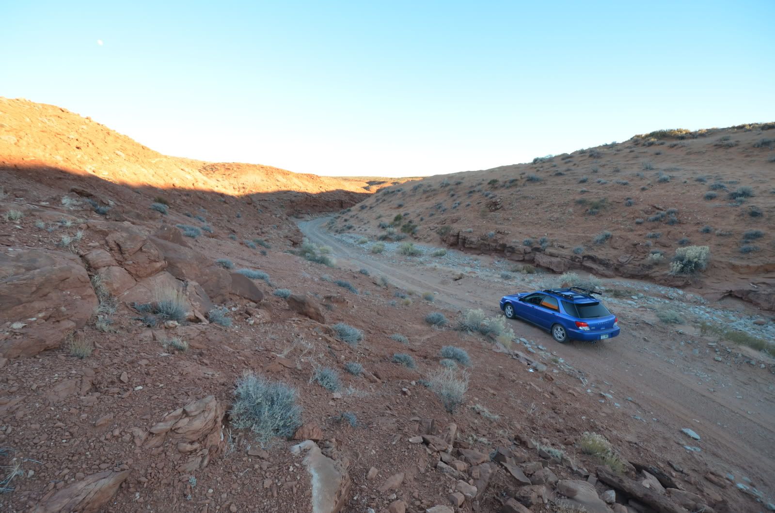
I traveled southeast on highway 95 to one of the hotly contested trails in the area. Poision Springs Canyon has long been a Makkah for the off road community, it’s tight canyon and intermittent stream offering both beauty and challenge. I only traveled 2 miles into the canyon but am drawn back there to discover the secrets beyond the next corner.
http://i1095.photobucket.com/albums/i462/jonharis/Greater Canyonlands/D7K_9635.jpg
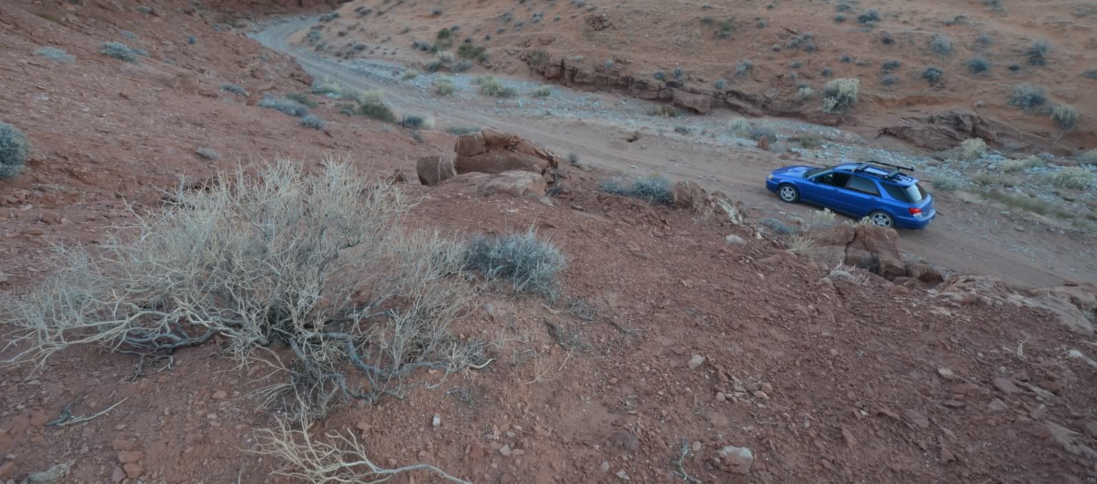
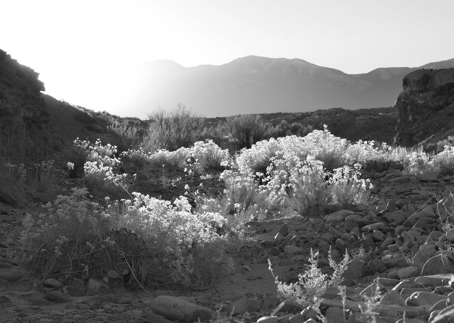
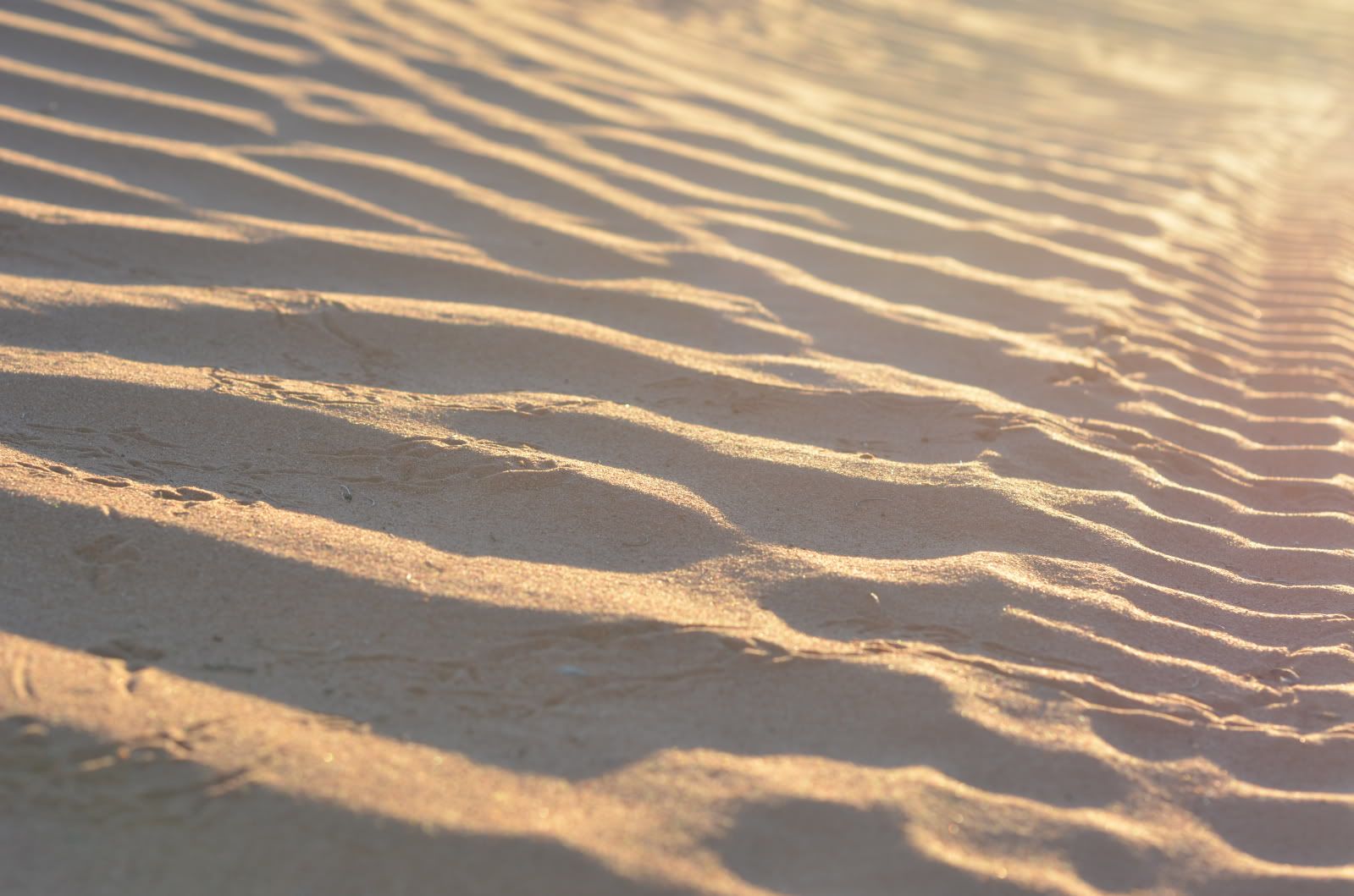
More abandoned wells.
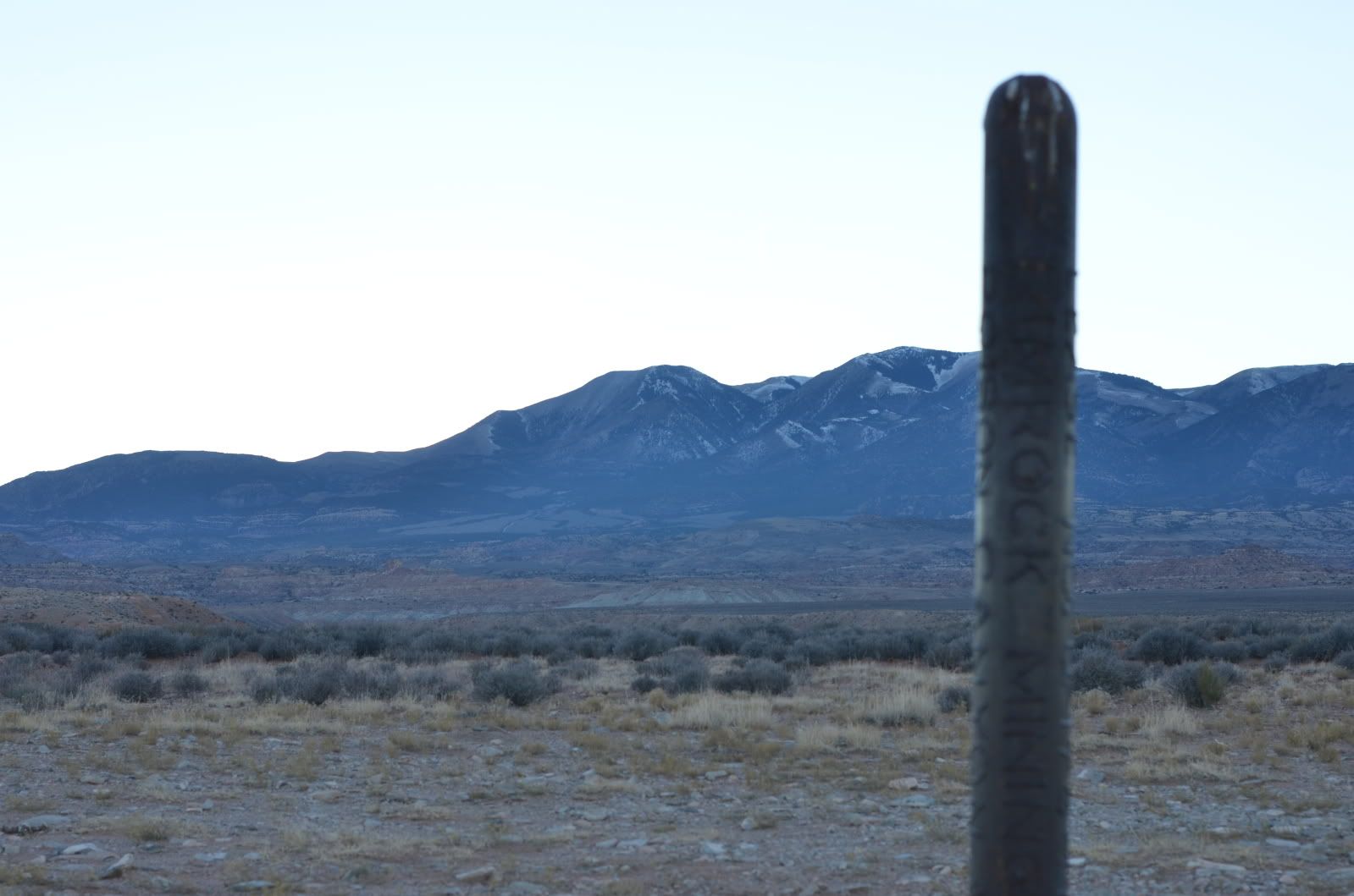
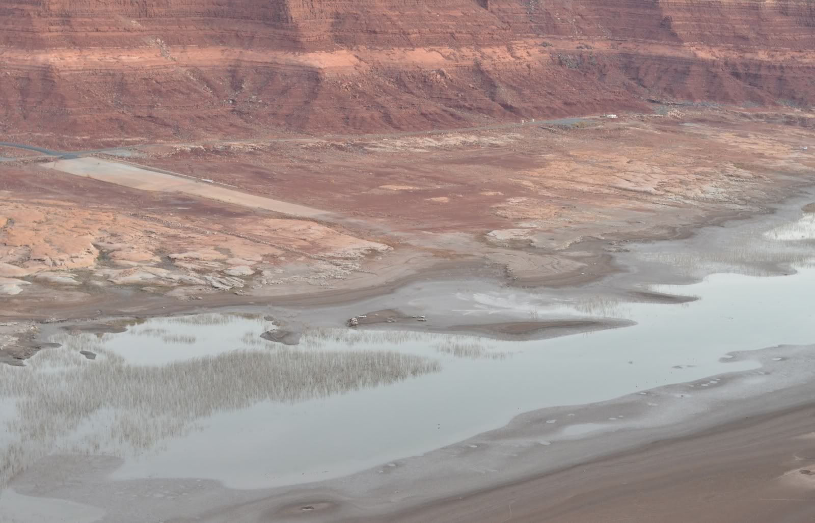
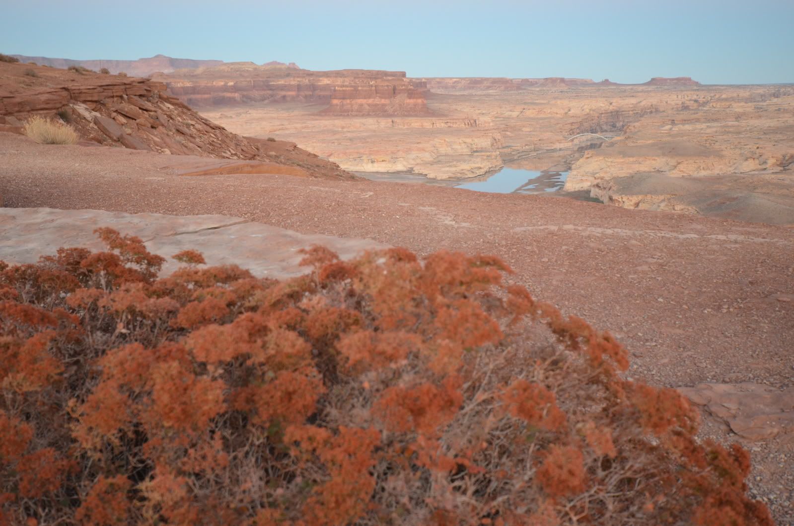
The next 2 hours of my day took me into darkness along highway 95. The Southern part of the GC incorporates the already protected Glenn Canyon Recreation Area. I made a quick stop right before dark to view the ghost town that is Hite Marina and the silt flats of what was once Lake Powell.
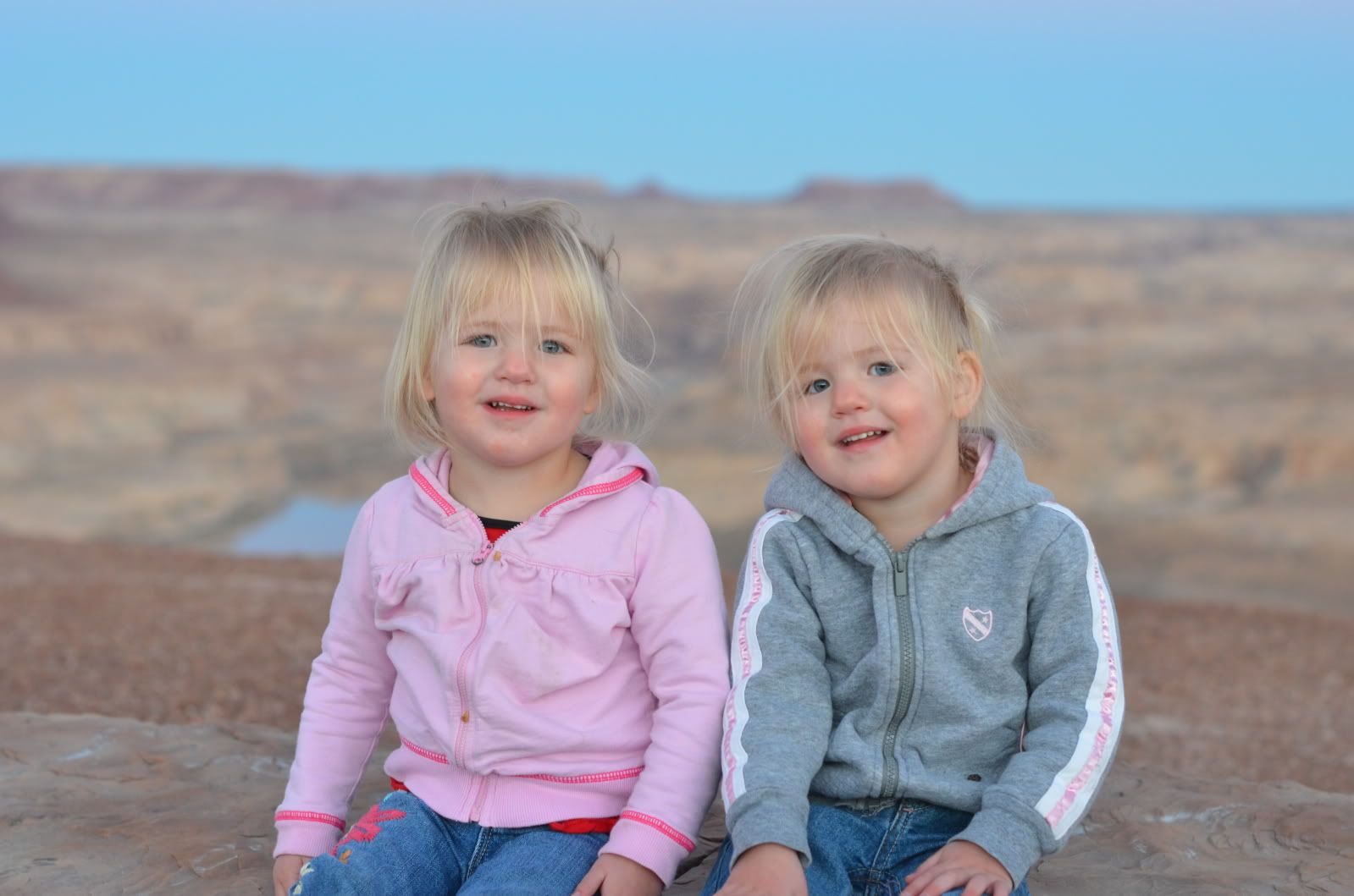
My Traveling Companions.
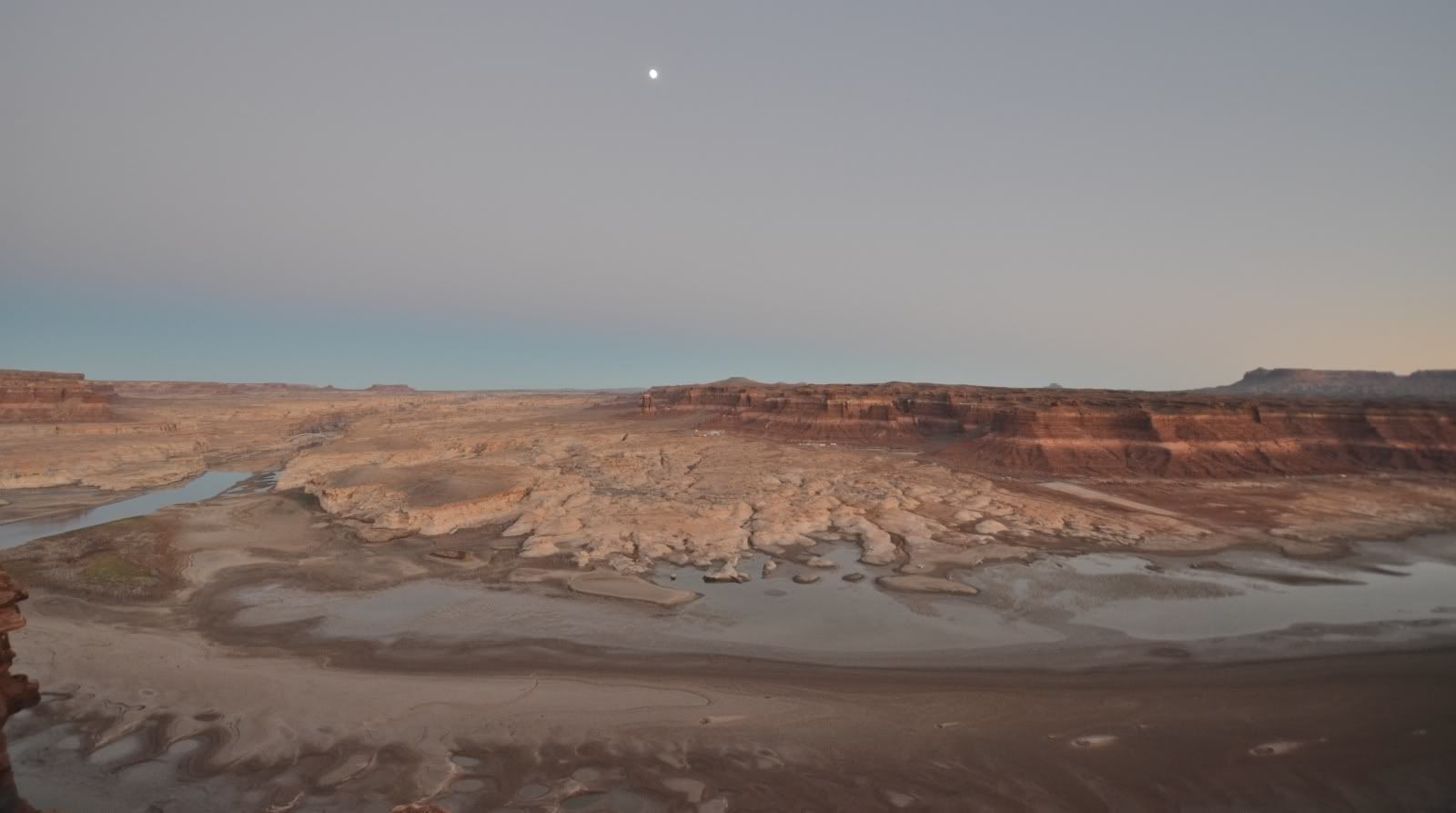
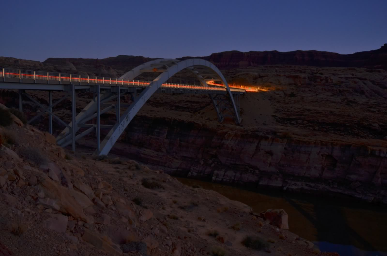
I made one last stop in the cold and the dark at a last abandoned oil and gas site near the Cedar Mesa cultural area (an area I was compelled to revisit on day two.) What struck me was how incredibly dark it was, even on a night with a moon. There is utterly zero light pollution.
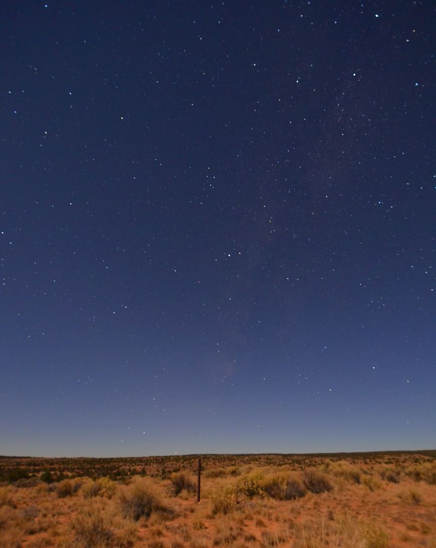
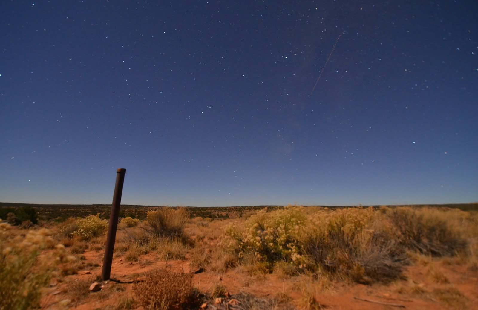
I stopped for the night in the quiet town of Blanding. Staying at the dated yet clean and recommended Stone Lizard Lodging before departing on day two which will prove to be the highlight of my journey.
- Location
- Never Far From Nowhere
Awesome report! Really shows whats out there!
- Location
- Stinkwater
Love the pics. Could be the best $10 I ever spent on a vacation. 
- Location
- Grand Junction, CO
Very cool Jon! Thanks for taking the time to document the area, looking forward to day 2!
- Location
- Riverton, UT
Great article, have you guys noticed all the play that Des News is giving the monument proposal? I don't think Suwa is getting enough response on this so they are either paying to have stuff put in the paper or they have friends there. None of the articles I have sent in have been printed but this stuff keeps coming back. We need someone that can get an article printed in "My View".
ttora4runner
Well-Known Member
- Location
- Colorado Springs, Again
JL's response to this thread was merit enough for a new topic to keep this thread on it's own topic. Posts moved to here: http://www.rme4x4.com/showthread.ph...ands-better-than-the-states-quot-Thread-Split 
JL Rockies
Binders Fulla Expo
- Location
- Draper
Introduced to congress by Jason Chaffetz:
H.R. 250 Antiquities Repeal Act
The Antiquities Repeal Act would amend the Antiquities Act of 1906 by requiring Congressional approval of any national monument designated by the president.
H.R. 250 Antiquities Repeal Act
The Antiquities Repeal Act would amend the Antiquities Act of 1906 by requiring Congressional approval of any national monument designated by the president.
