For the last 2 years we have taken a family vacation on the Anniversary of our daughters death. This year, rather than a hotel or relative's house, we loaded up the RTT on the Dodge and headed out for a week of camping and exploring the desert.
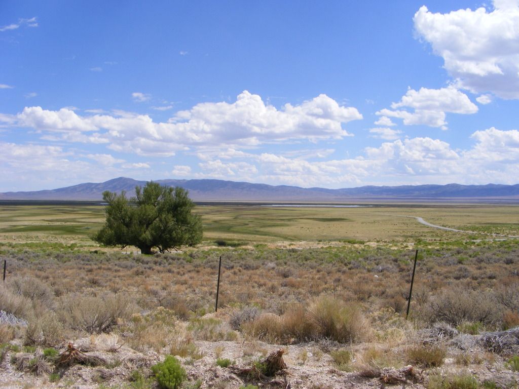
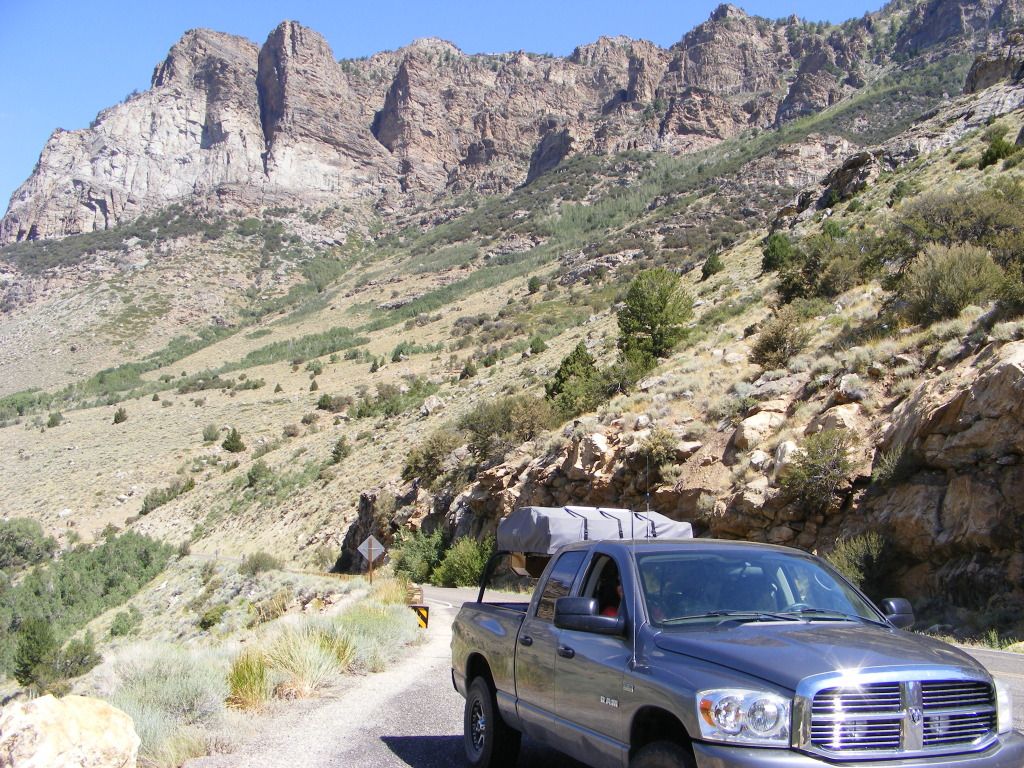
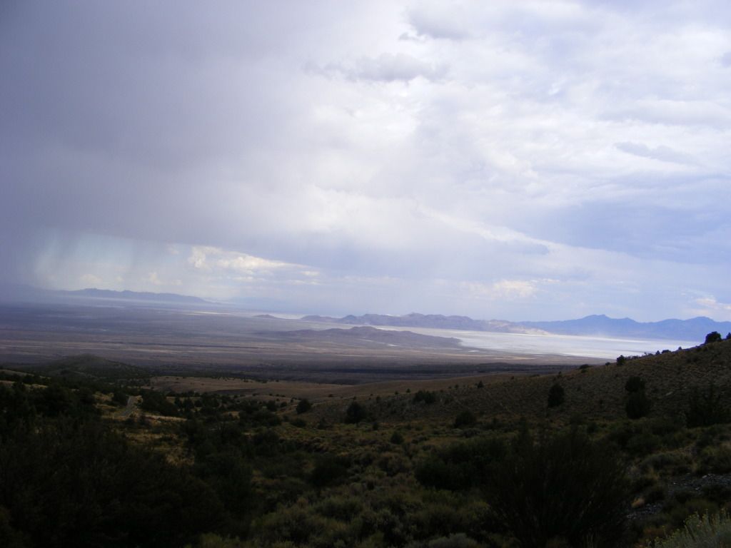
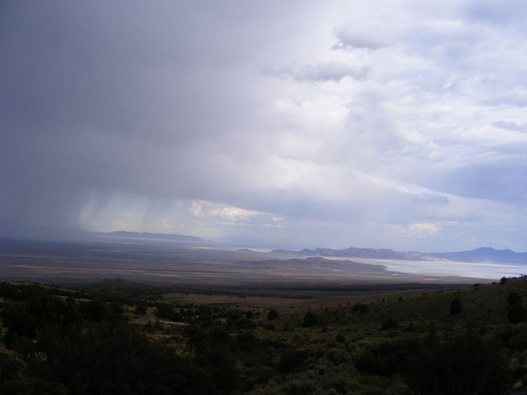
We started down I15 then over to Delta. We waved at Craig's house and kept on trucking straight through. Stopped at the mouth of Cat Canyon to scope things out. We then continued west to Nevada and our first stop at Wheeler Peak.
I am NOT a big fan of organized campgrounds. But this was supposed to be a really nice on as far as those things go, so I bit the bullet and payed the $12.
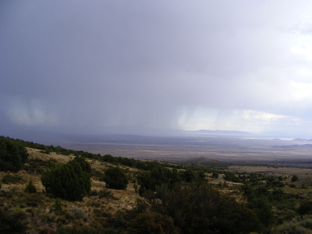
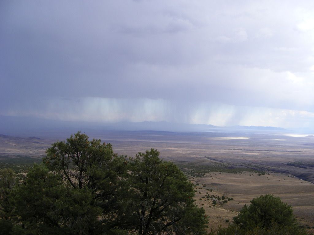
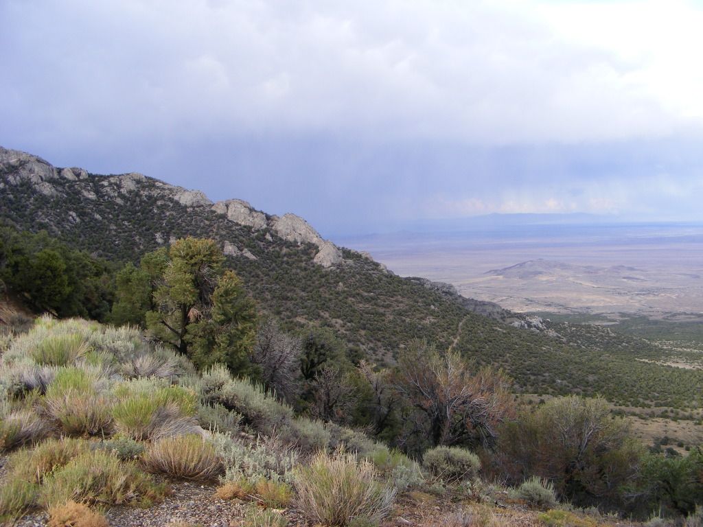
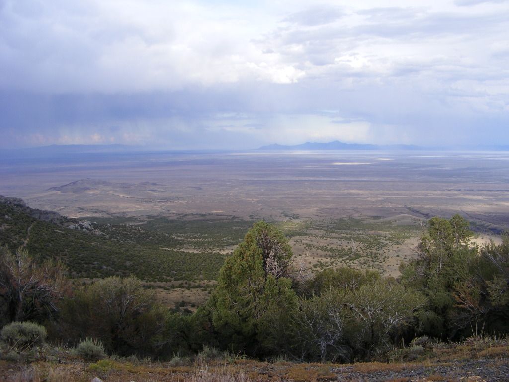
Even being in the middle of the great basin desert, we were above 10,000 feet and the area was beautiful.. Bristle cone pine trees that were over 1000 years old and lots of aspen trees. It was a beautiful area. Lots of wild life and the views were outstanding.
Next stop for night #2 was Cave Lake just south of Eli Nevada, and about 70 miles from Wheeler Peak. We left Great Basin National Park and hit Hwy 50 again twords Eli.
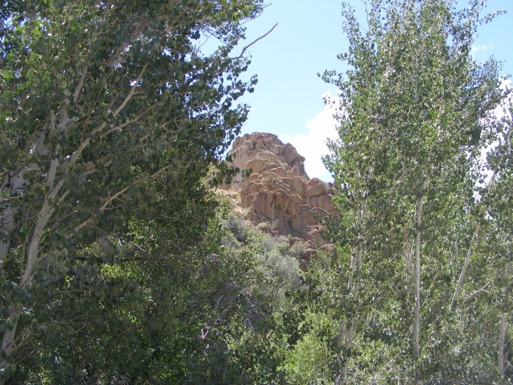
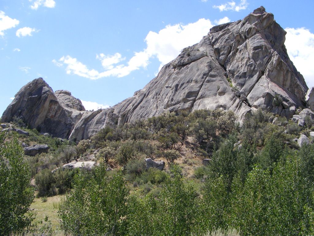
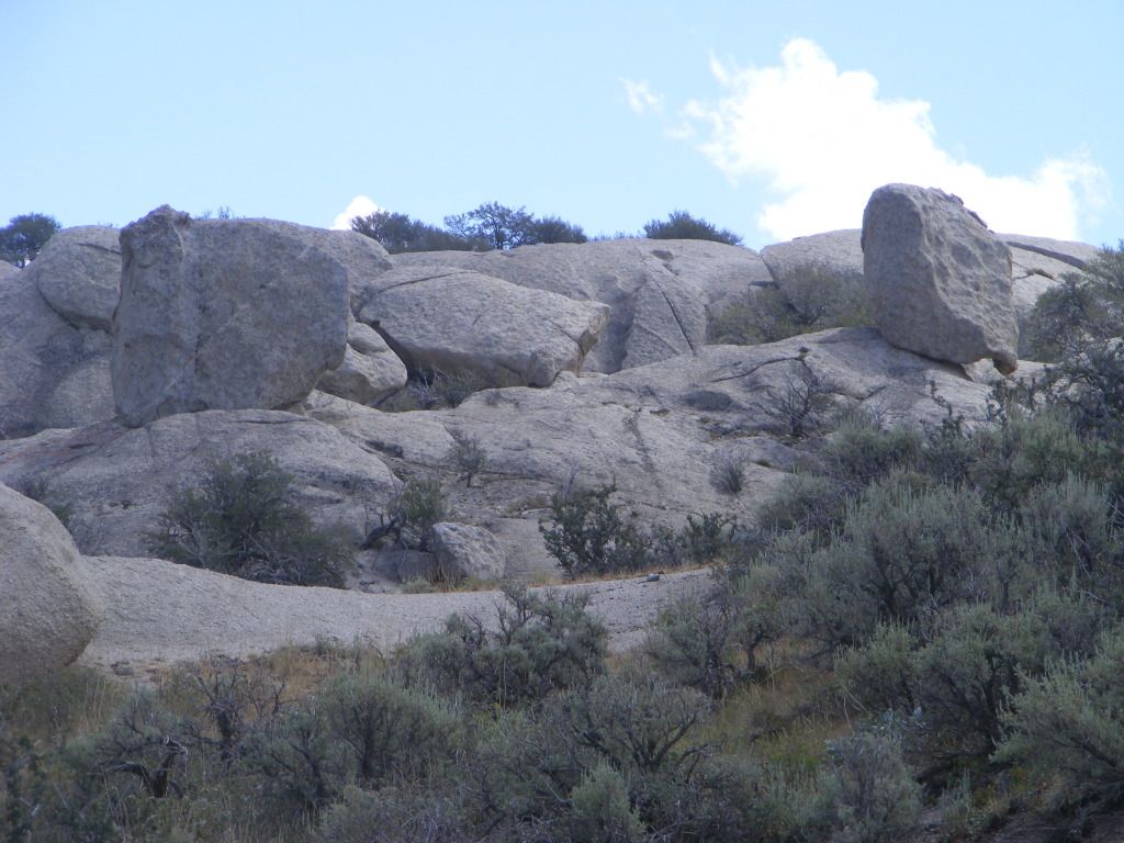
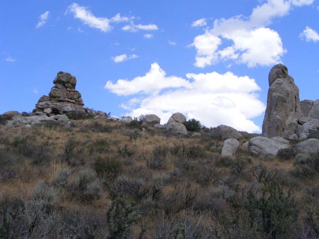
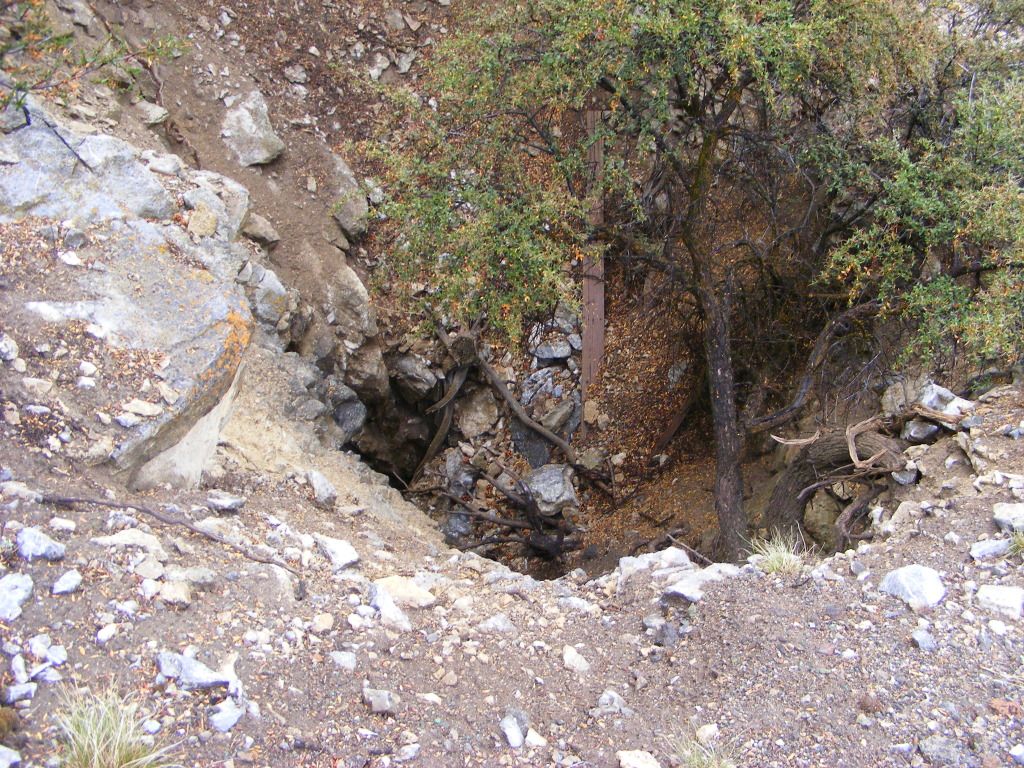
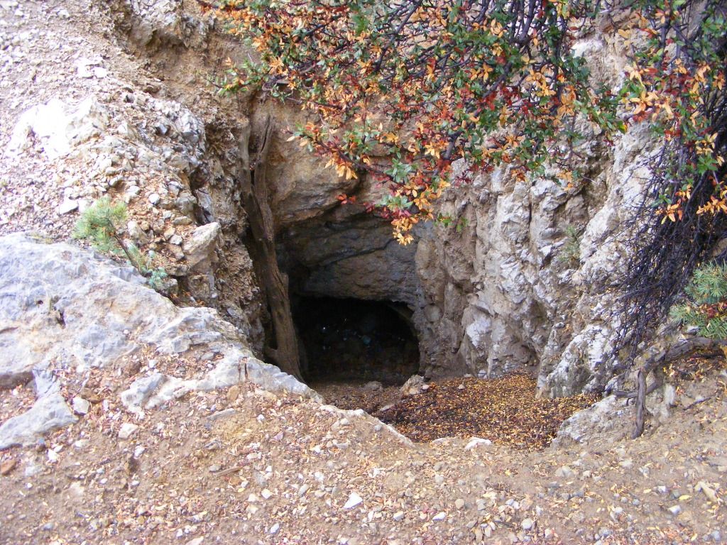
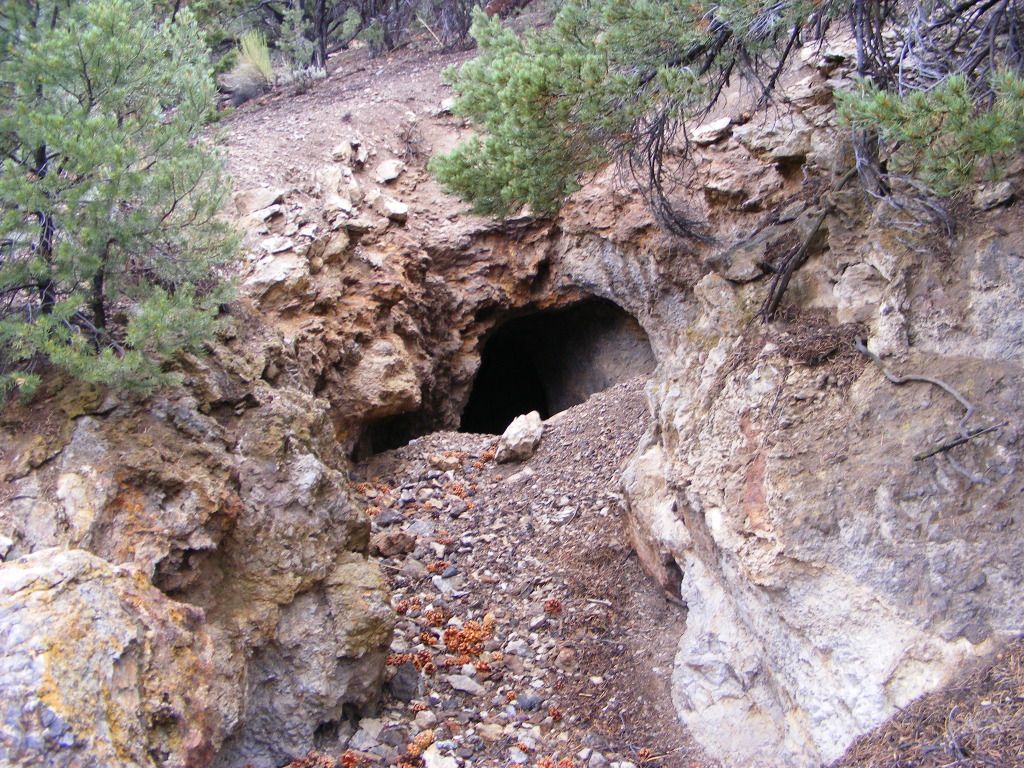
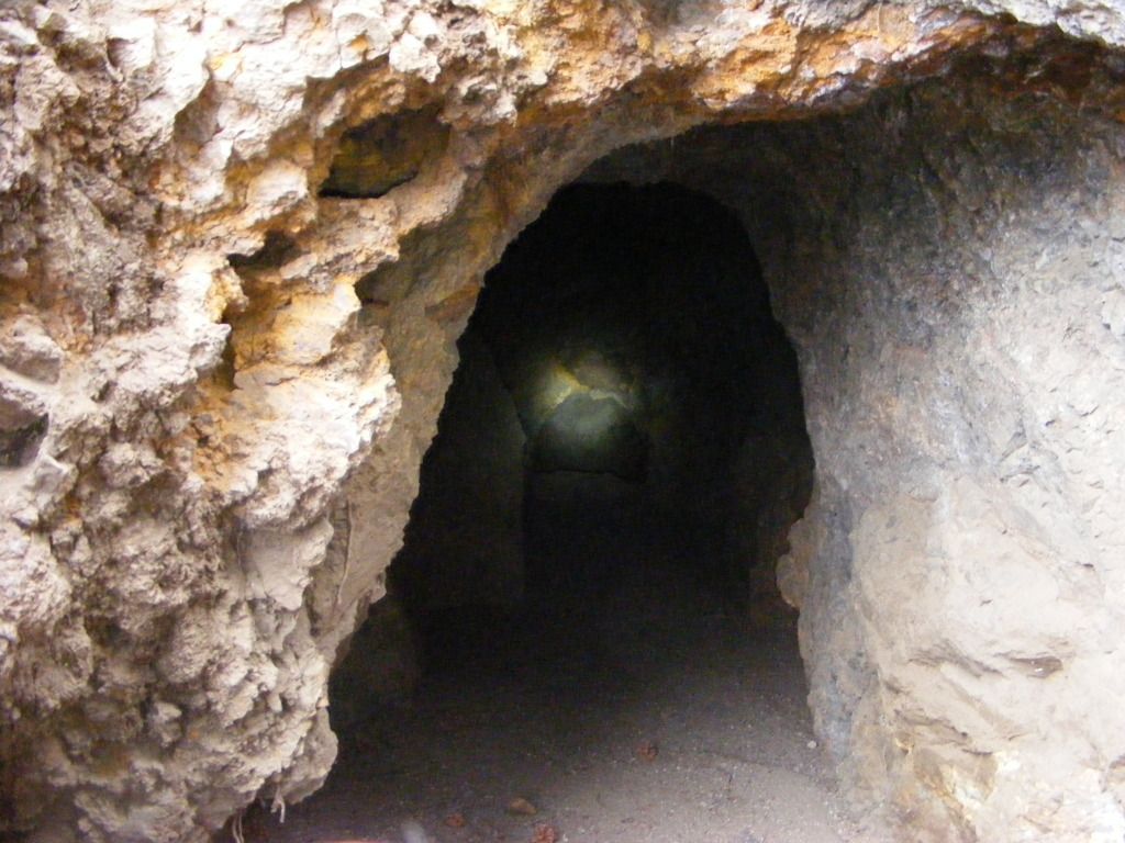
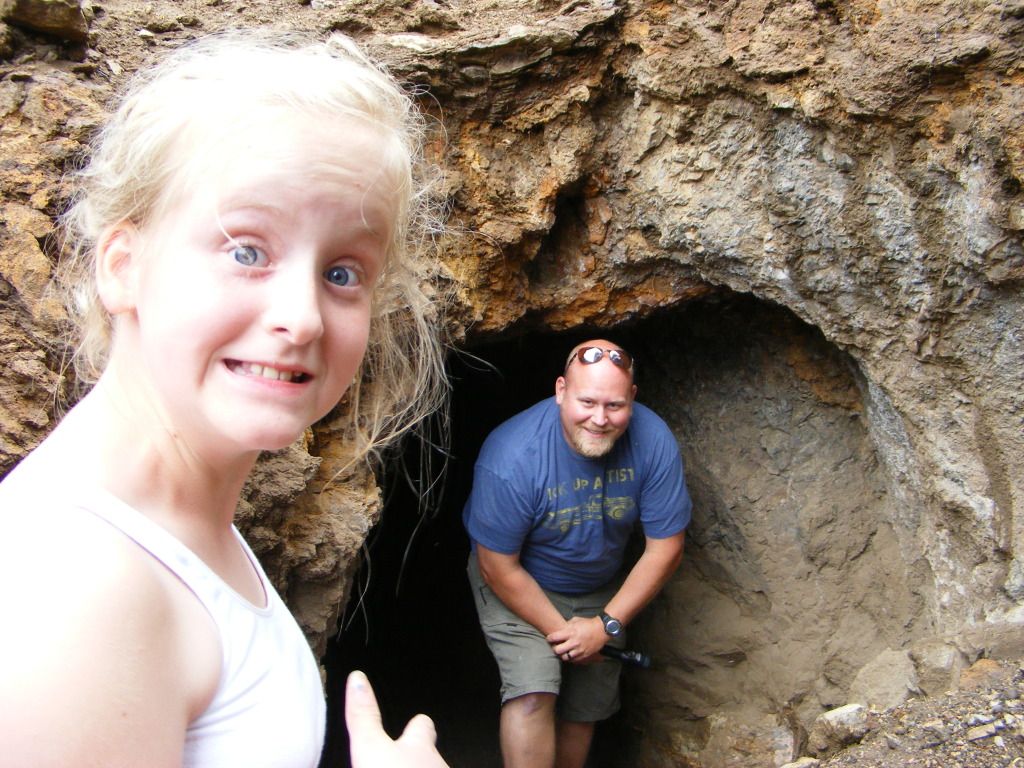
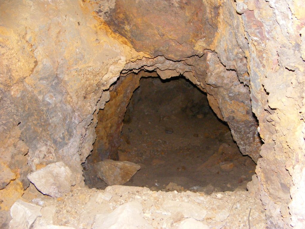
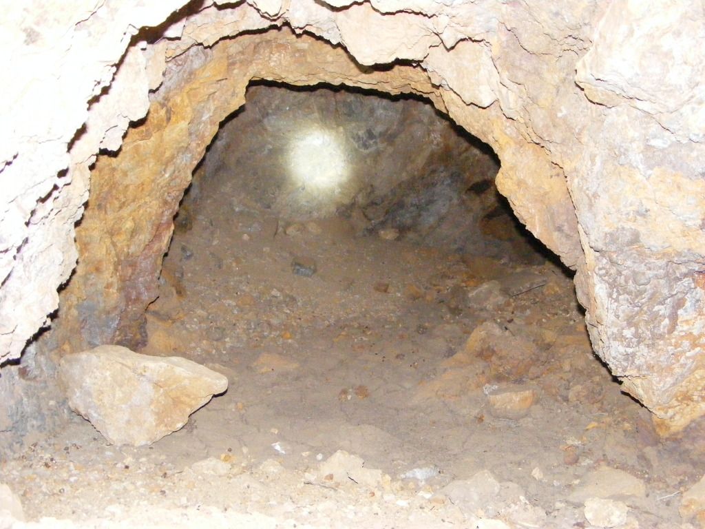
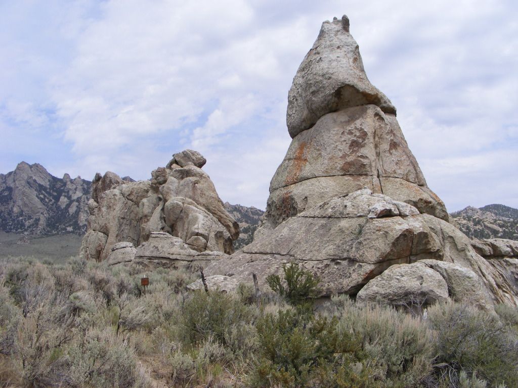
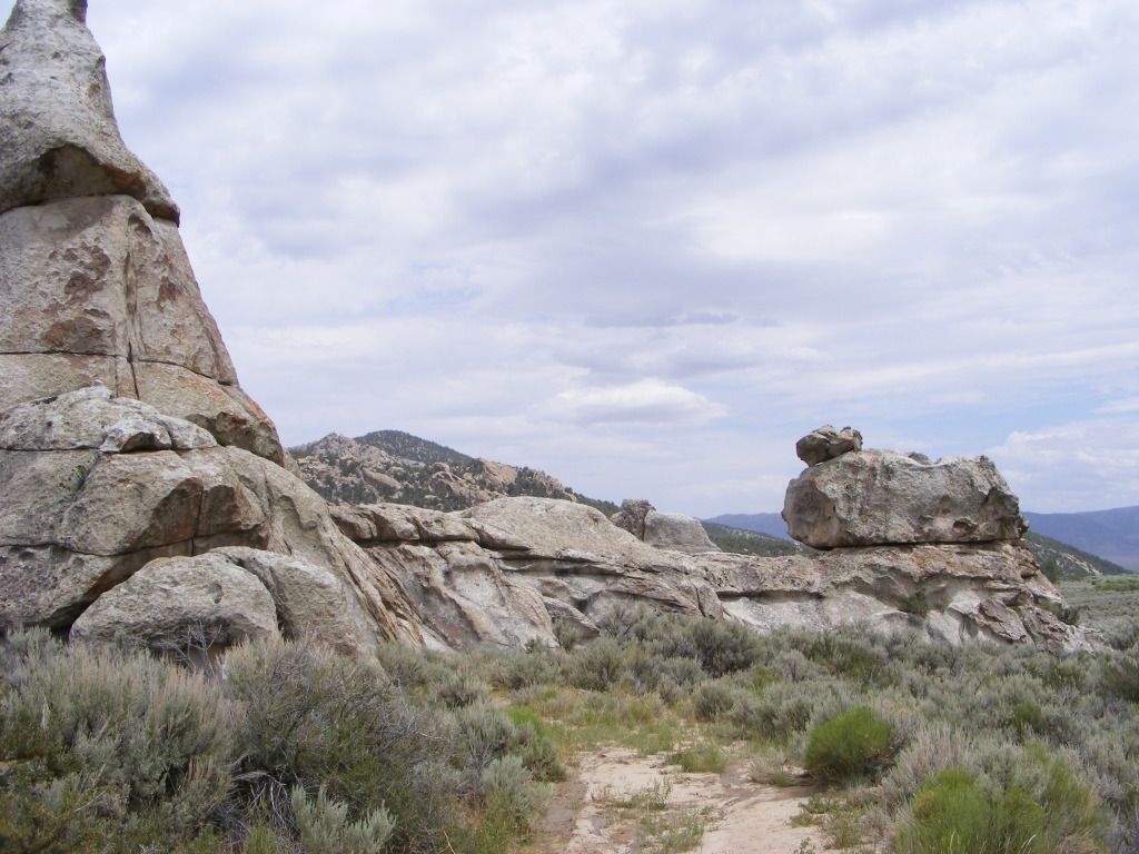
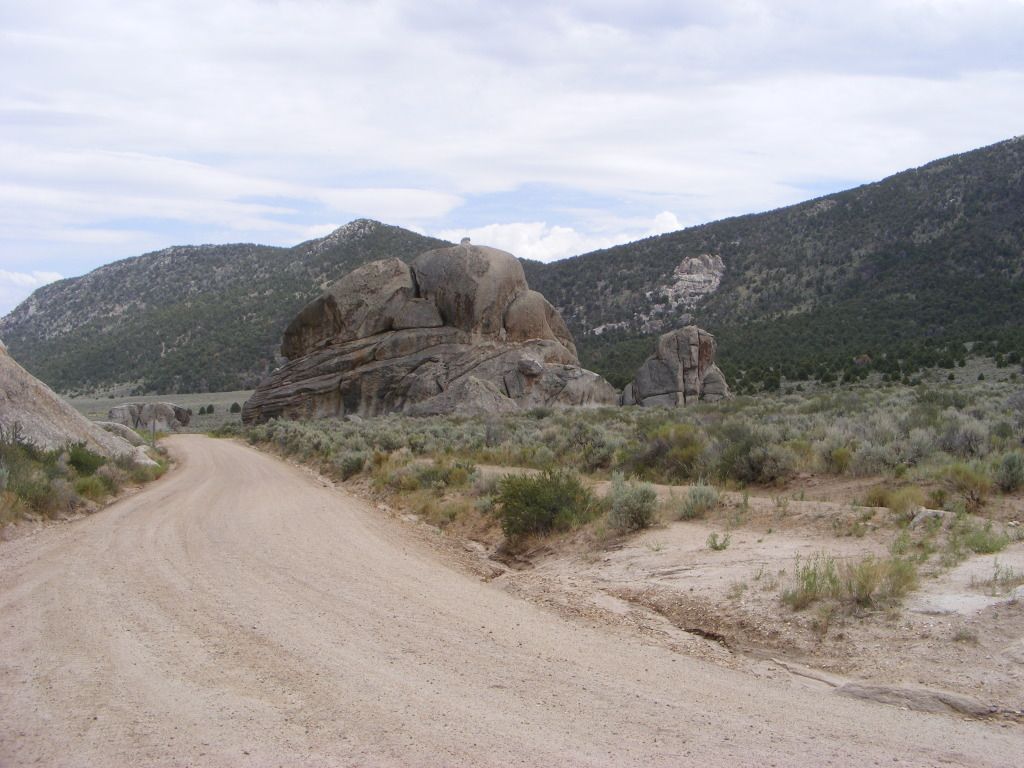
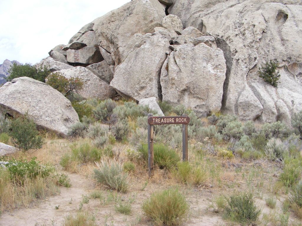
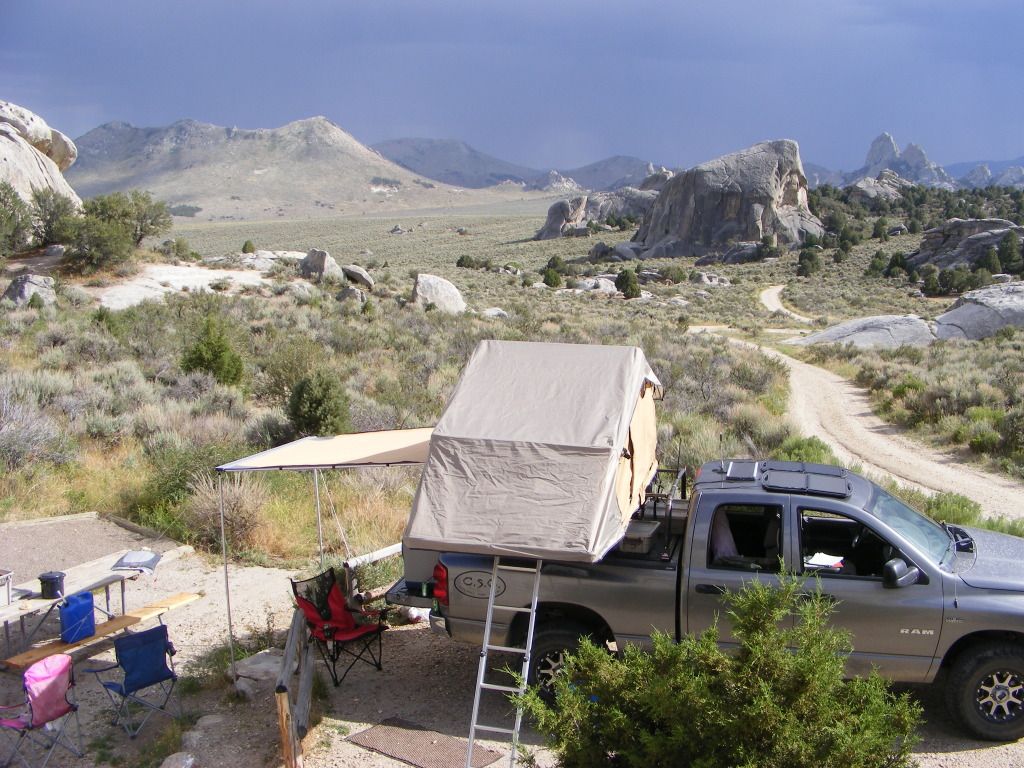
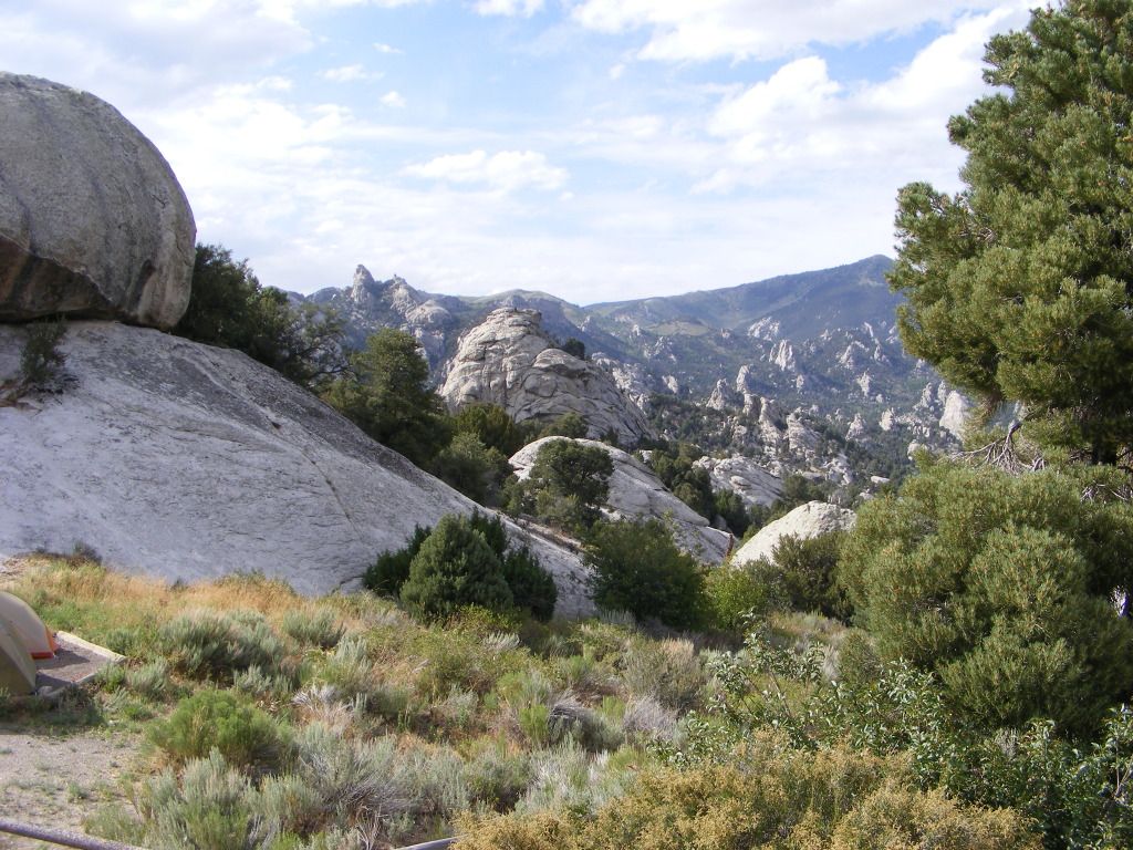
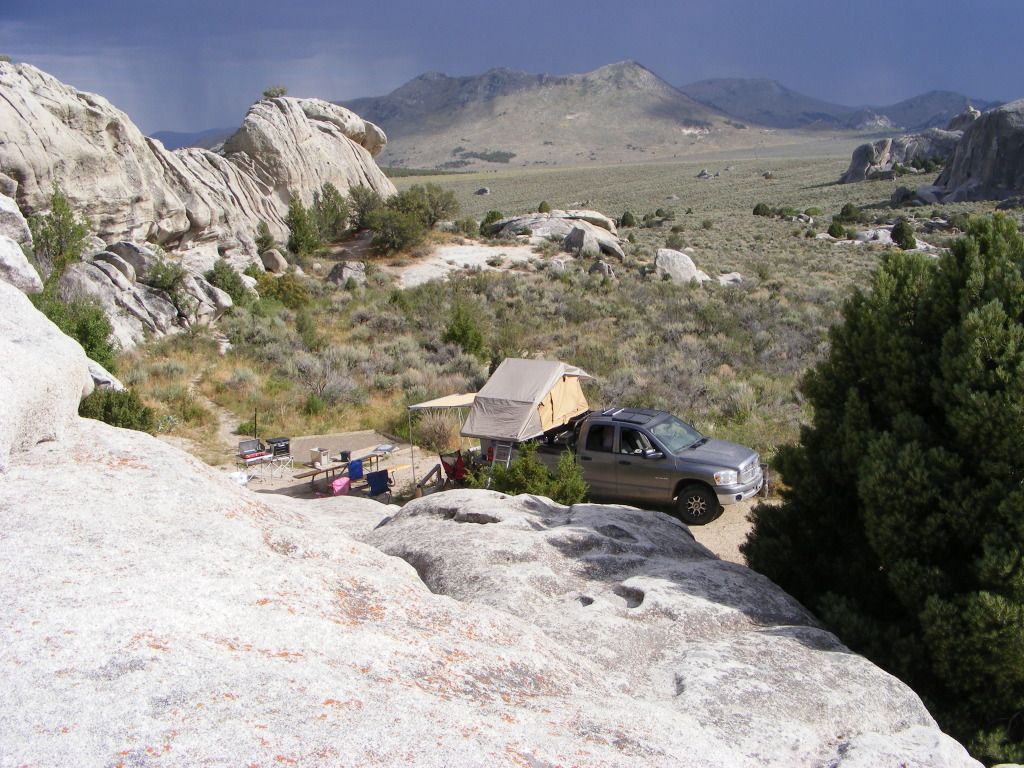
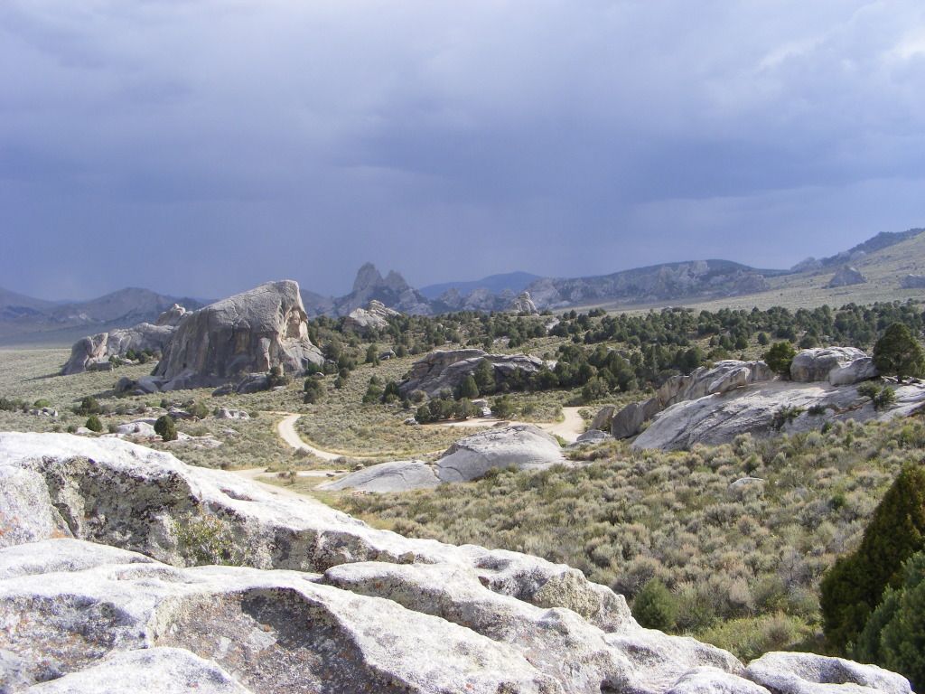
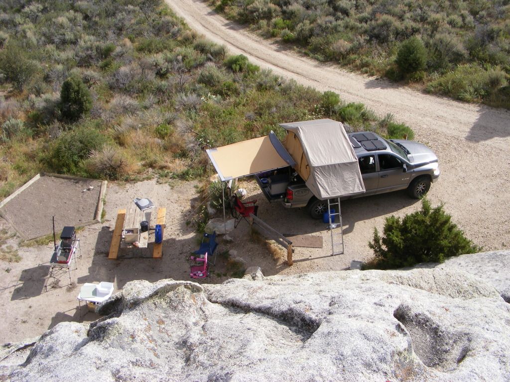
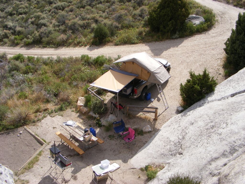
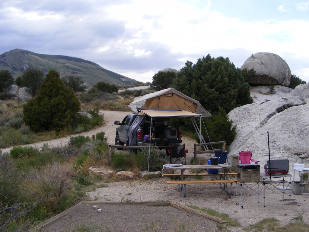
This was again an organized campground, or so we thought... there was a dirt track leading out the back side of the camp ground. we followed that till it split and dead ended. We camped at the base of a large rock outcropping maybe 400 feet high. Several caves... looked like prime mountain lion realestate.... or so I told my wife.")
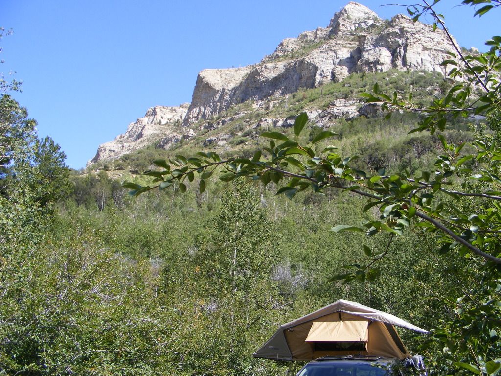
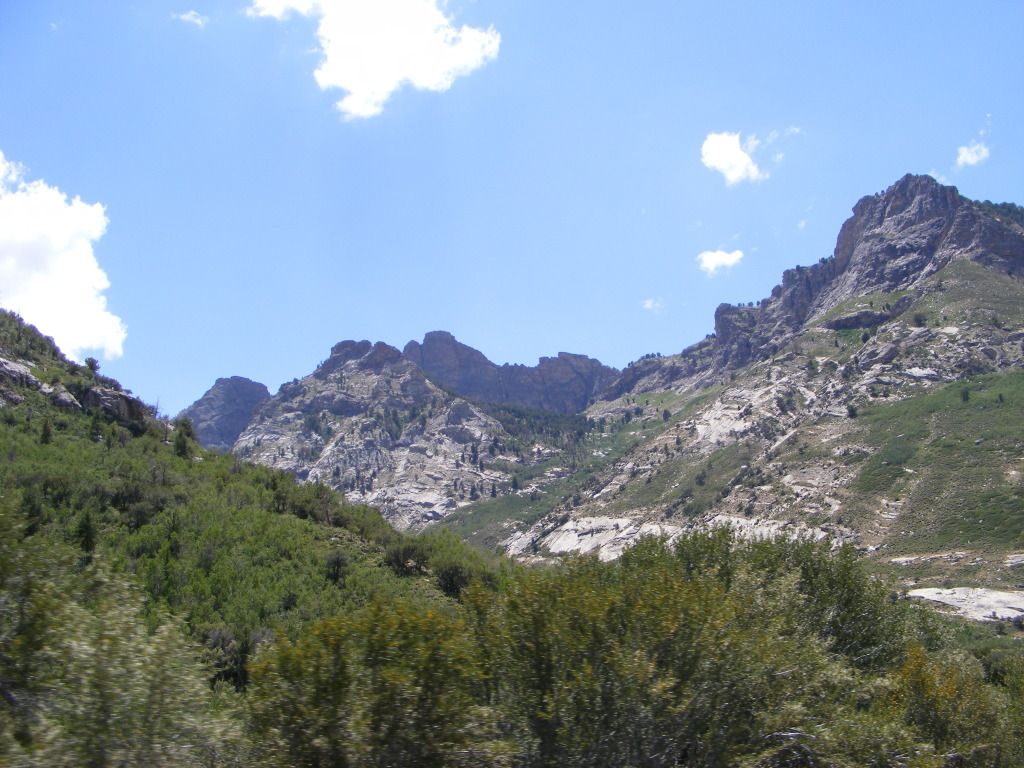
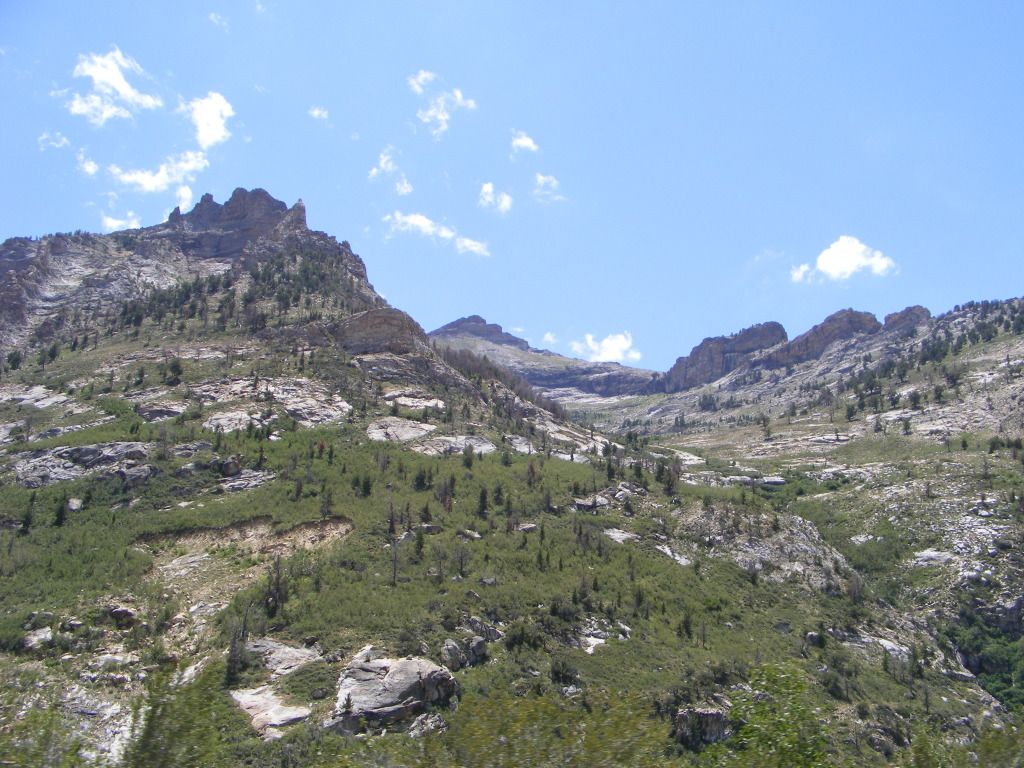
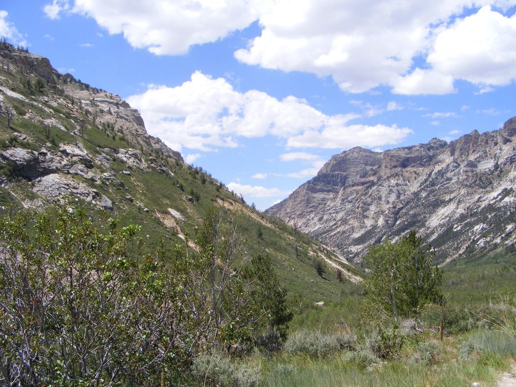
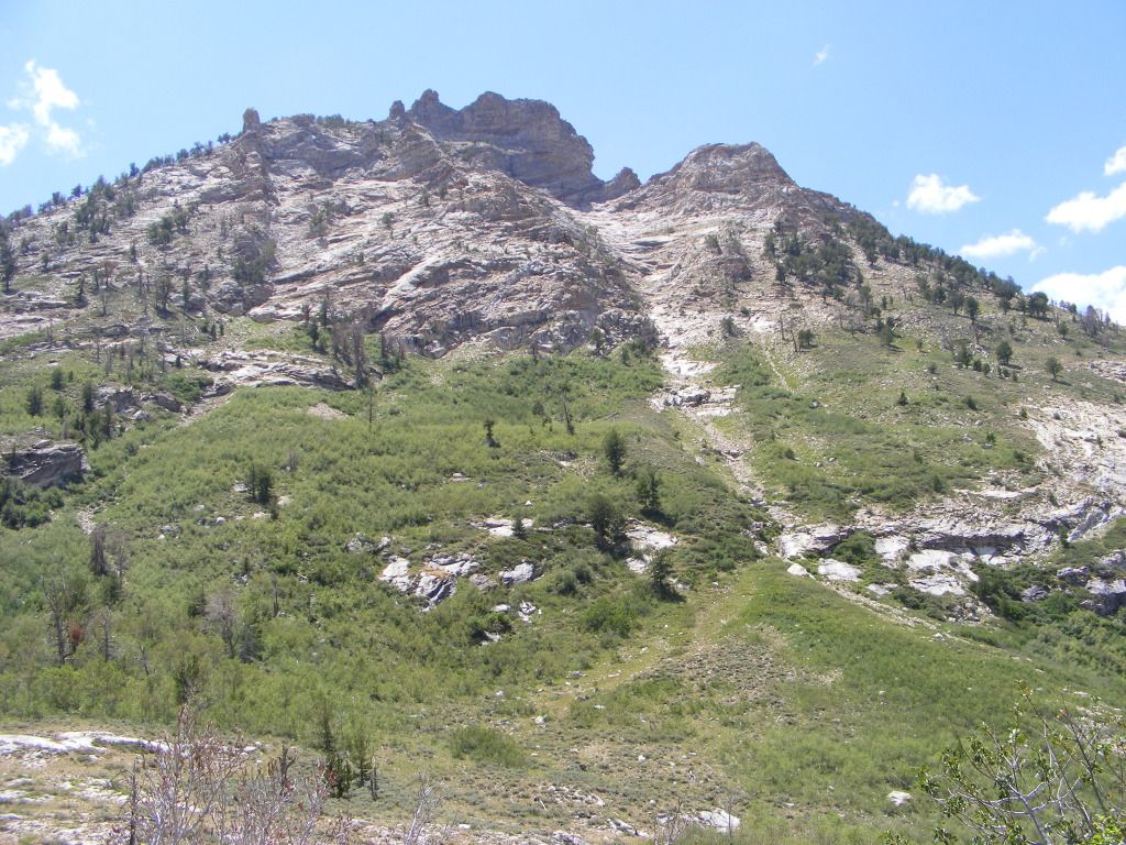
We headed out the the next morning. Our destination being Thomas canyon in the Ruby Mountains. Up till now, we had stuck mainly to main paved roads and highways. This was our first chance to really get off the beaten track. We gassed up in Eli and bought 2 more stupid little bottles of propane, and headed out.
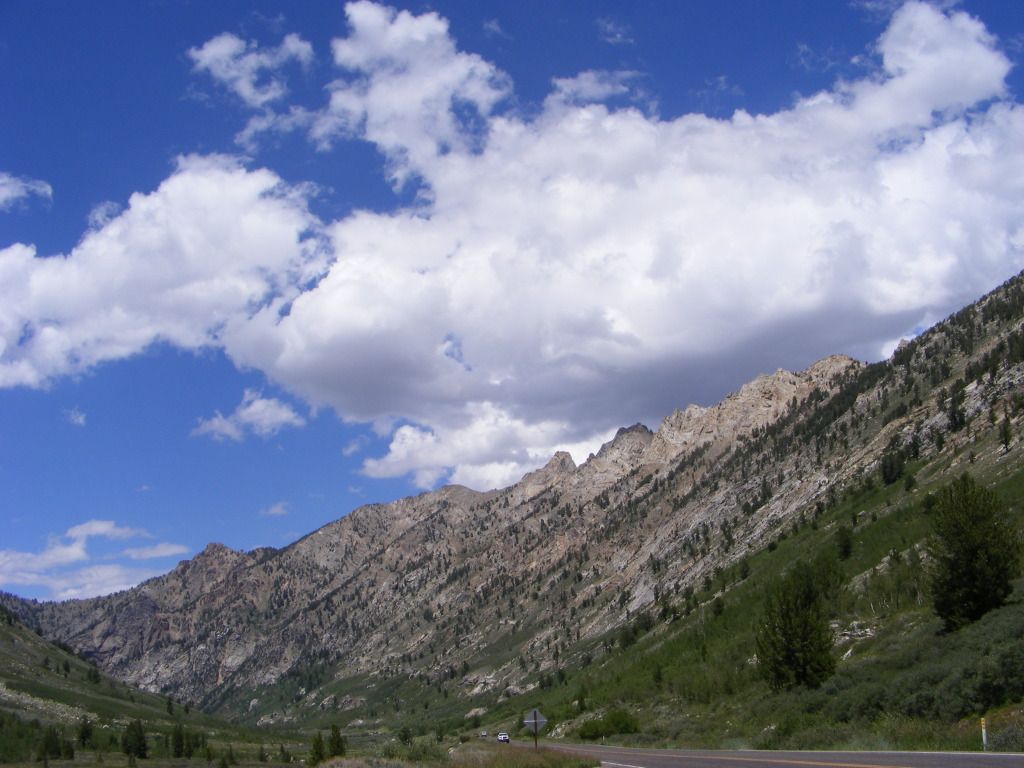
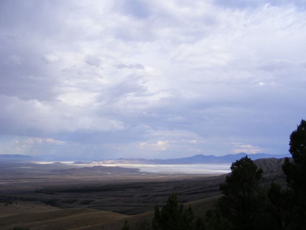
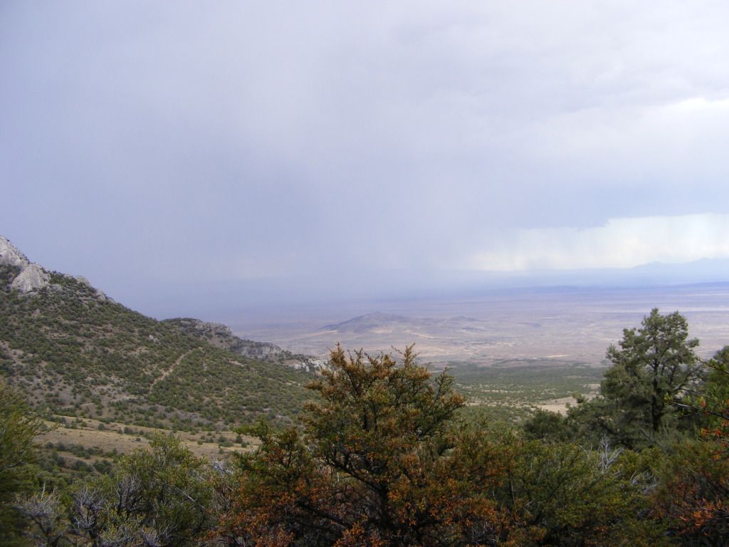
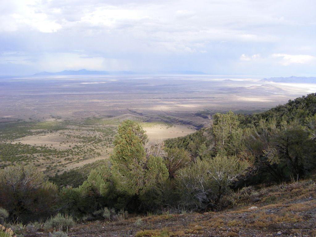
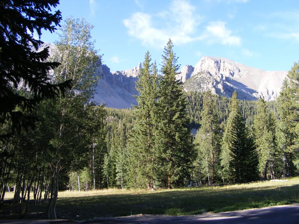
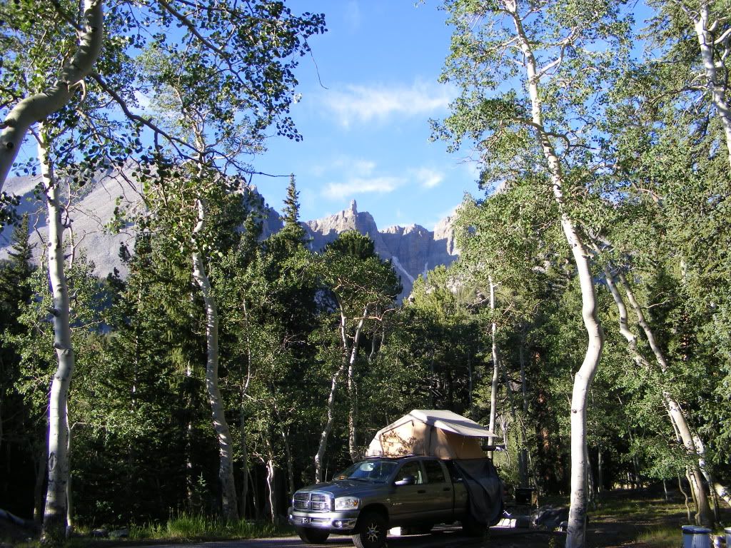
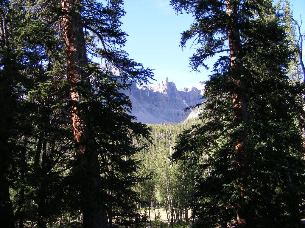
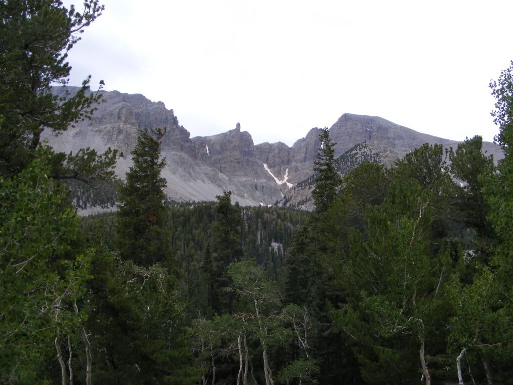
We started down I15 then over to Delta. We waved at Craig's house and kept on trucking straight through. Stopped at the mouth of Cat Canyon to scope things out. We then continued west to Nevada and our first stop at Wheeler Peak.
I am NOT a big fan of organized campgrounds. But this was supposed to be a really nice on as far as those things go, so I bit the bullet and payed the $12.
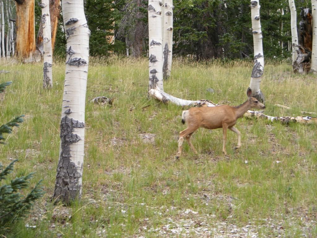
Even being in the middle of the great basin desert, we were above 10,000 feet and the area was beautiful.. Bristle cone pine trees that were over 1000 years old and lots of aspen trees. It was a beautiful area. Lots of wild life and the views were outstanding.
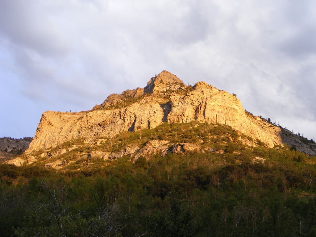
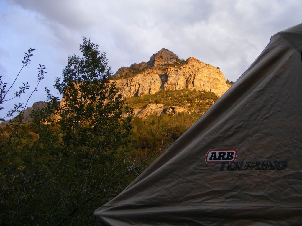
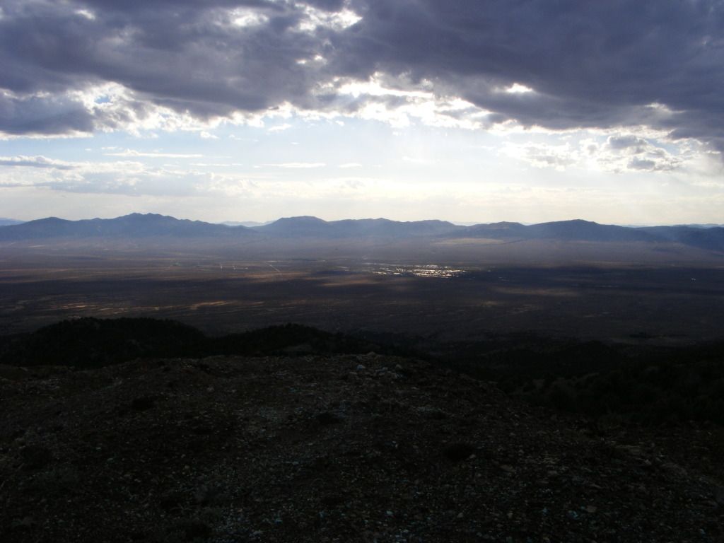
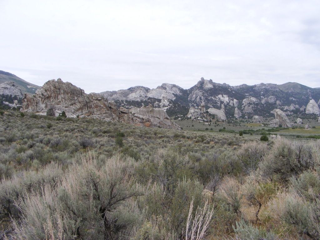
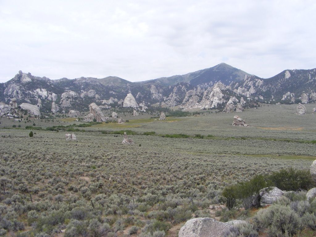
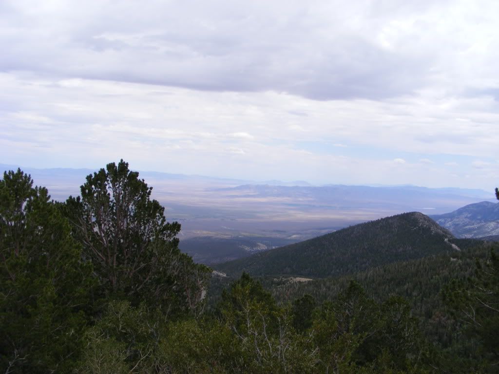
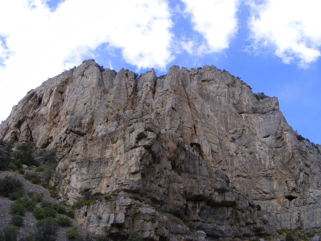
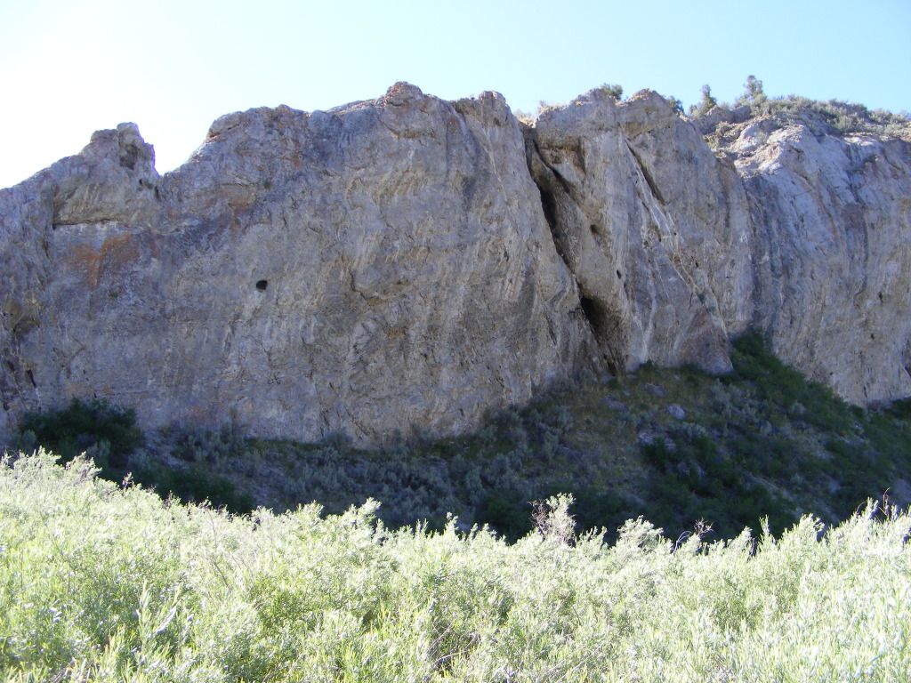
Next stop for night #2 was Cave Lake just south of Eli Nevada, and about 70 miles from Wheeler Peak. We left Great Basin National Park and hit Hwy 50 again twords Eli.
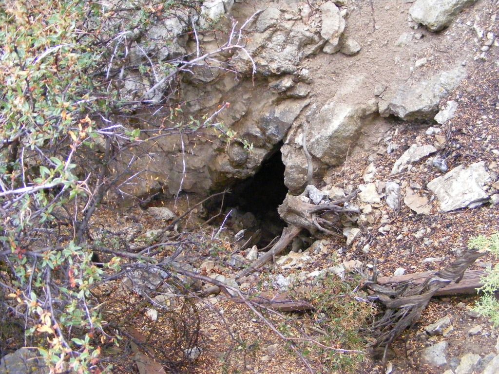
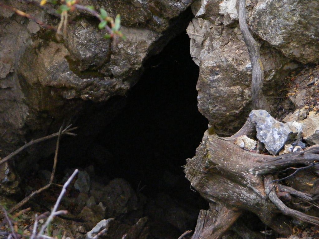
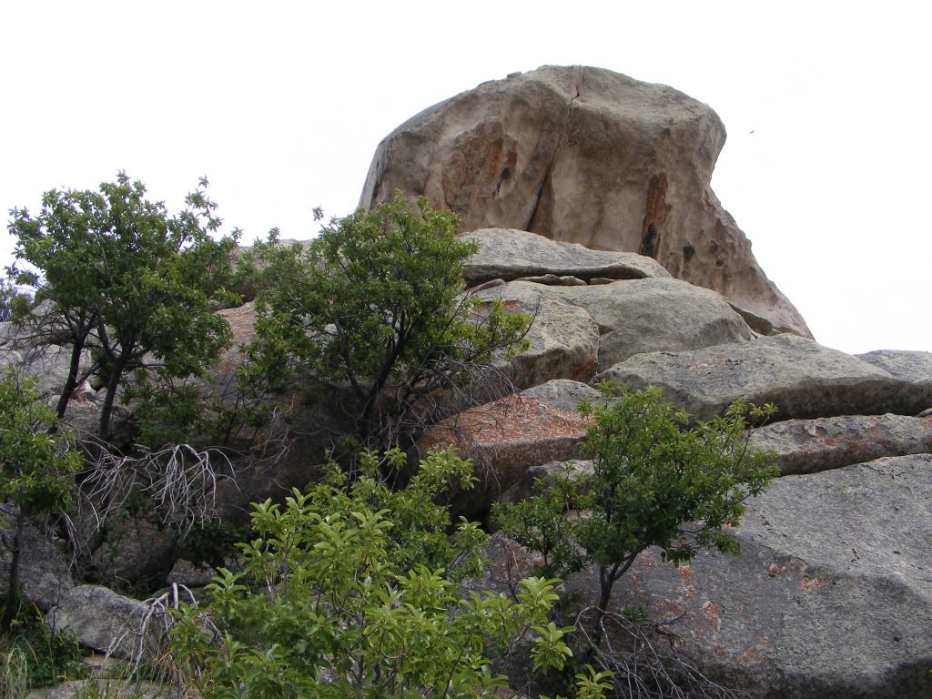
This was again an organized campground, or so we thought... there was a dirt track leading out the back side of the camp ground. we followed that till it split and dead ended. We camped at the base of a large rock outcropping maybe 400 feet high. Several caves... looked like prime mountain lion realestate.... or so I told my wife.
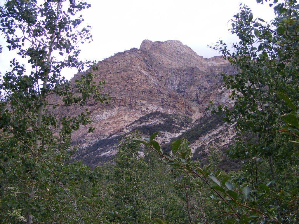
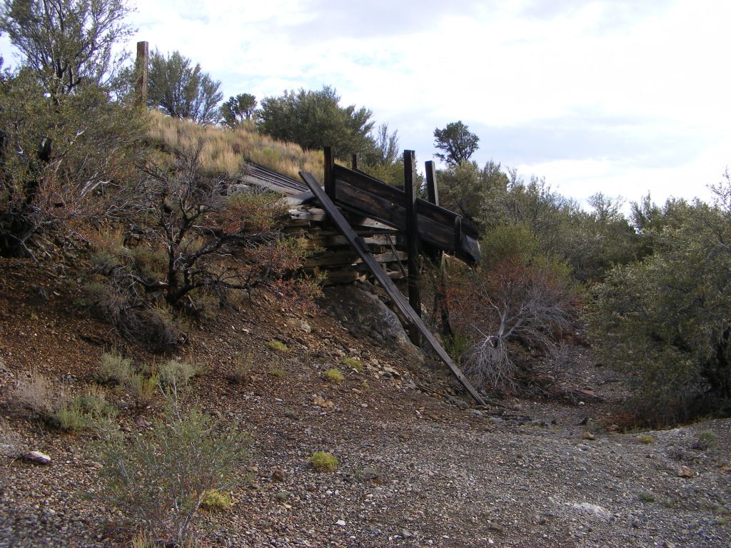
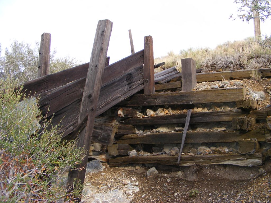
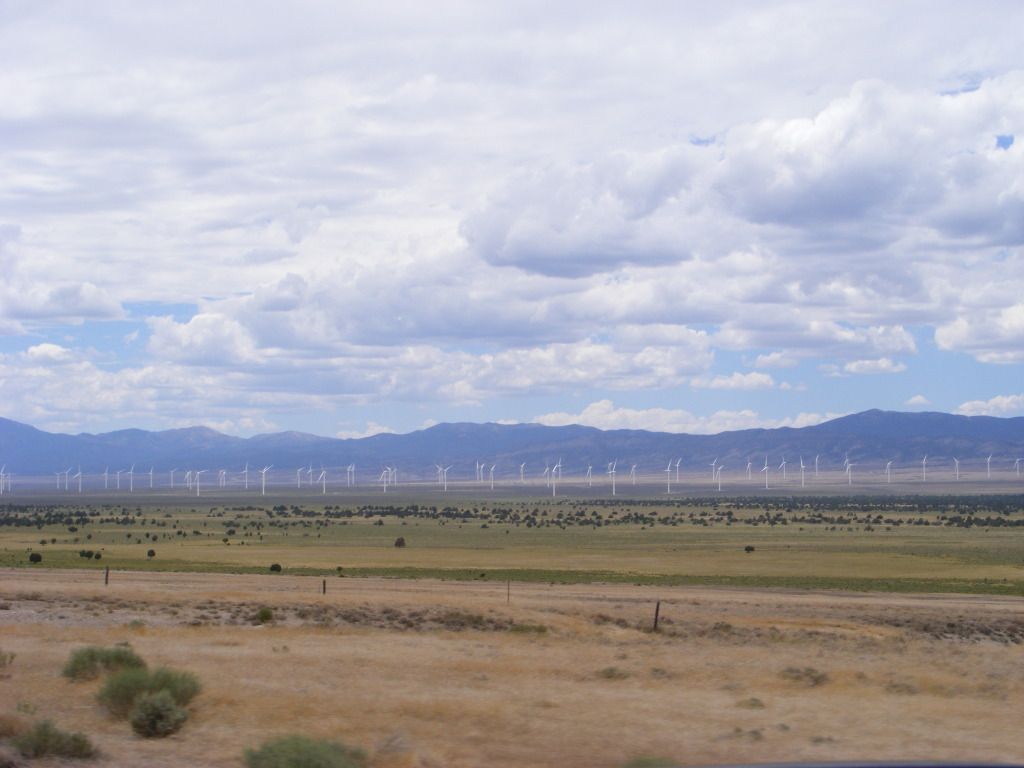
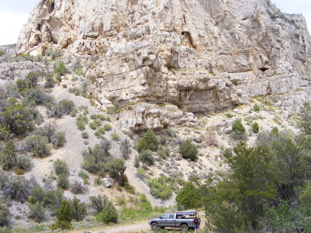
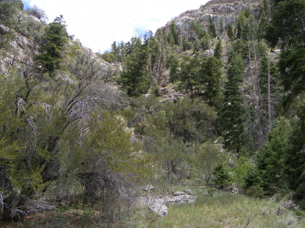
We headed out the the next morning. Our destination being Thomas canyon in the Ruby Mountains. Up till now, we had stuck mainly to main paved roads and highways. This was our first chance to really get off the beaten track. We gassed up in Eli and bought 2 more stupid little bottles of propane, and headed out.
Last edited: