Nevada, Utah, and Idaho Deserts

notajeep

Just me
Location
Logan
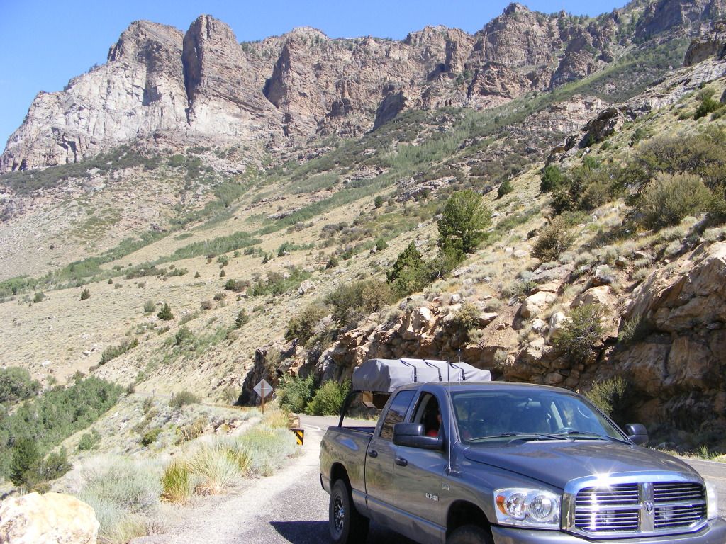
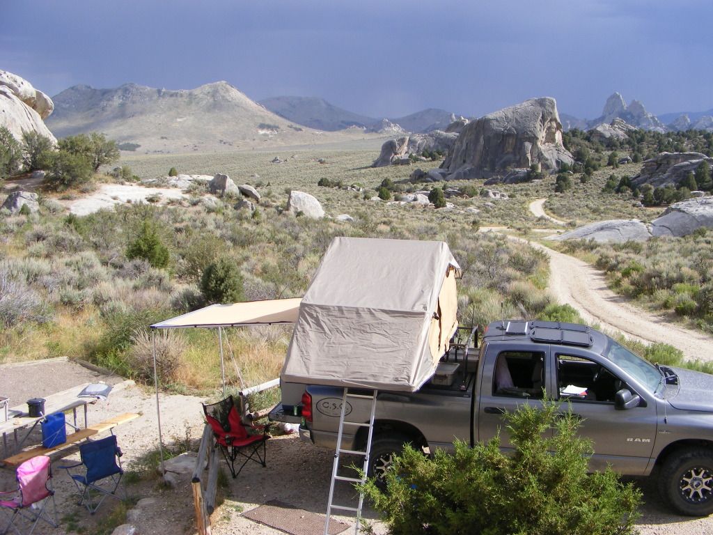
For the last 2 years we have taken a family vacation on the Anniversary of our daughters death. This year, rather than a hotel or relative's house, we loaded up the RTT on the Dodge and headed out for a week of camping and exploring the desert.

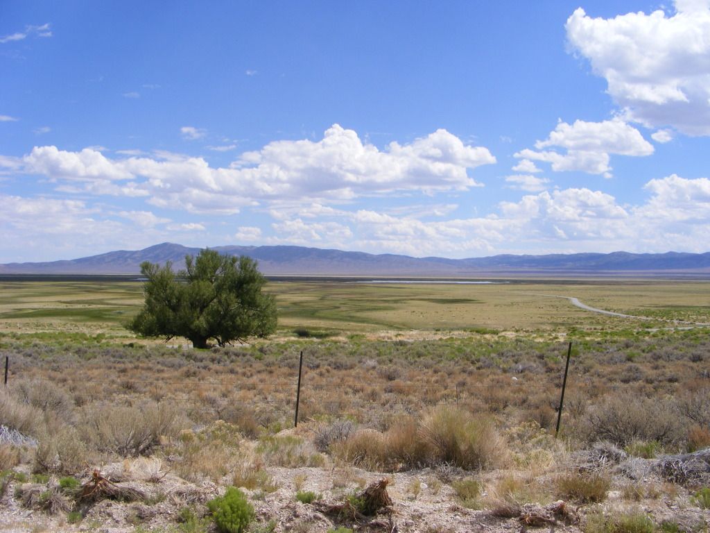
We started down I15 then over to Delta. We waved at Craig's house and kept on trucking straight through. Stopped at the mouth of Cat Canyon to scope things out. We then continued west to Nevada and our first stop at Wheeler Peak.

I am NOT a big fan of organized campgrounds. But this was supposed to be a really nice on as far as those things go, so I bit the bullet and payed the $12.

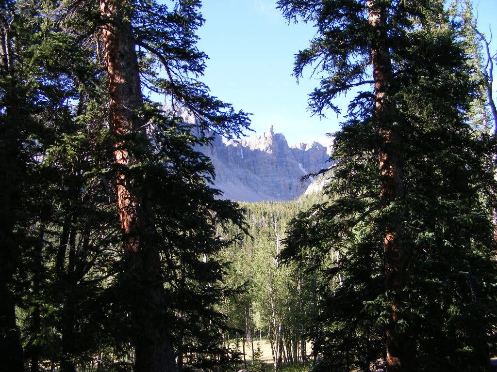
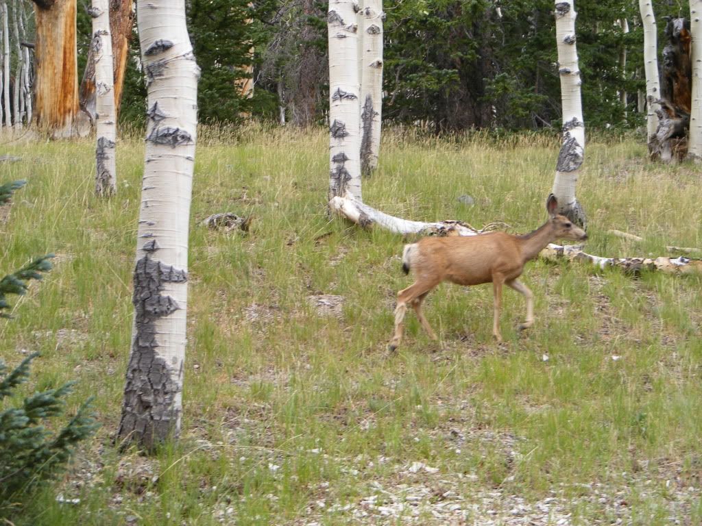
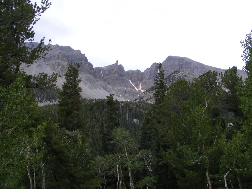
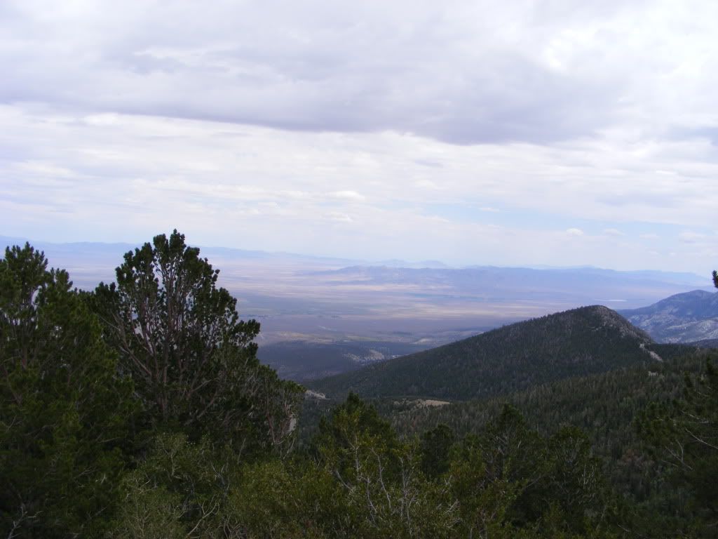
Even being in the middle of the great basin desert, we were above 10,000 feet and the area was beautiful.. Bristle cone pine trees that were over 1000 years old and lots of aspen trees. It was a beautiful area. Lots of wild life and the views were outstanding.
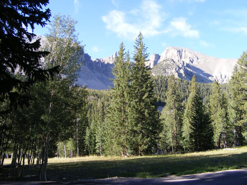
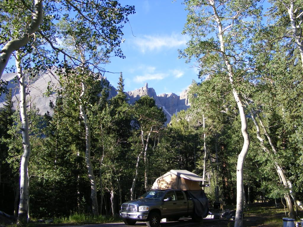
DSCF4124.jpg


DSCF4122.jpg


DSCF4134.jpg


DSCF4155.jpg


DSCF4158.jpg


DSCF4189.jpg


Next stop for night #2 was Cave Lake just south of Eli Nevada, and about 70 miles from Wheeler Peak. We left Great Basin National Park and hit Hwy 50 again twords Eli.
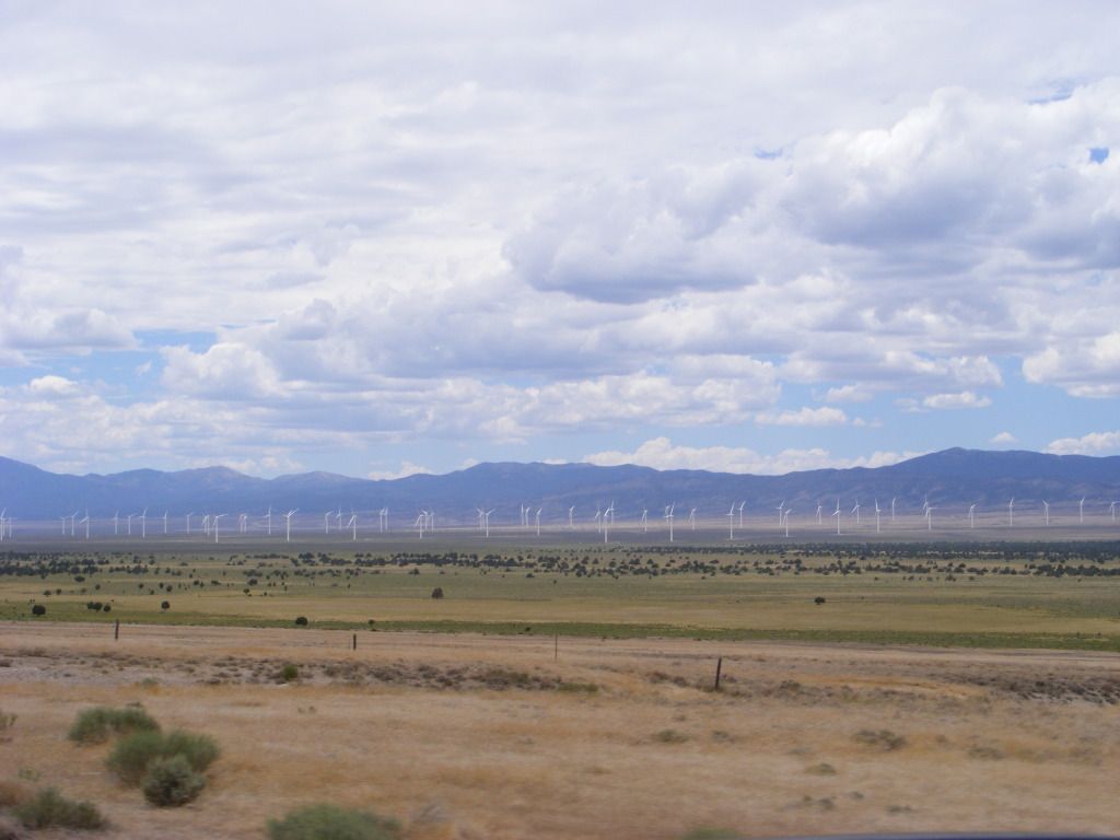
DSCF4216.jpg


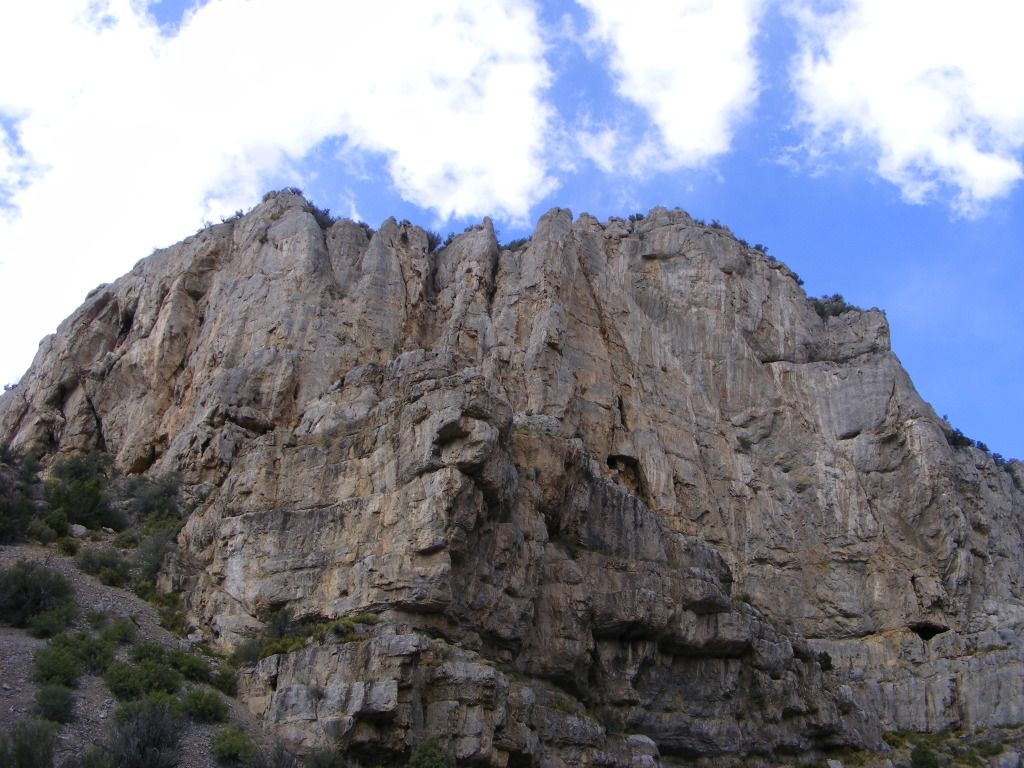
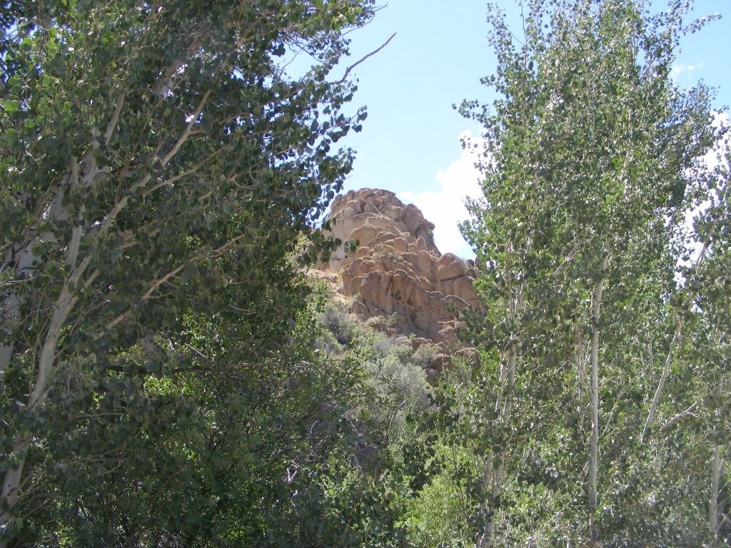
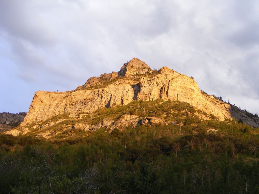
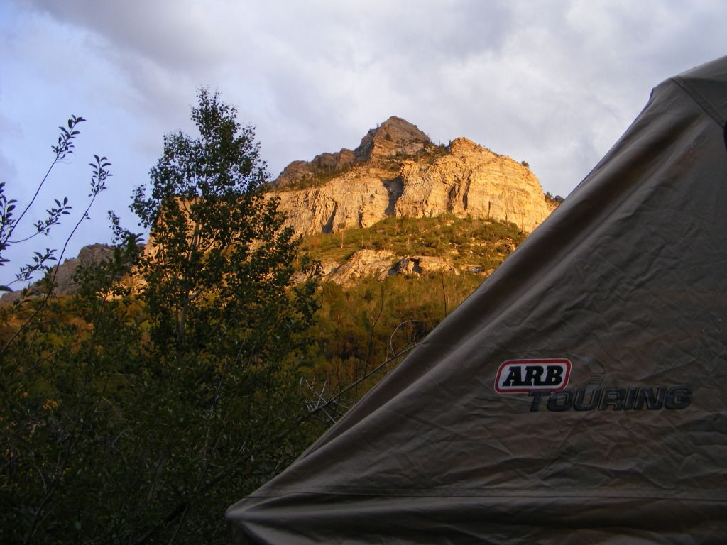
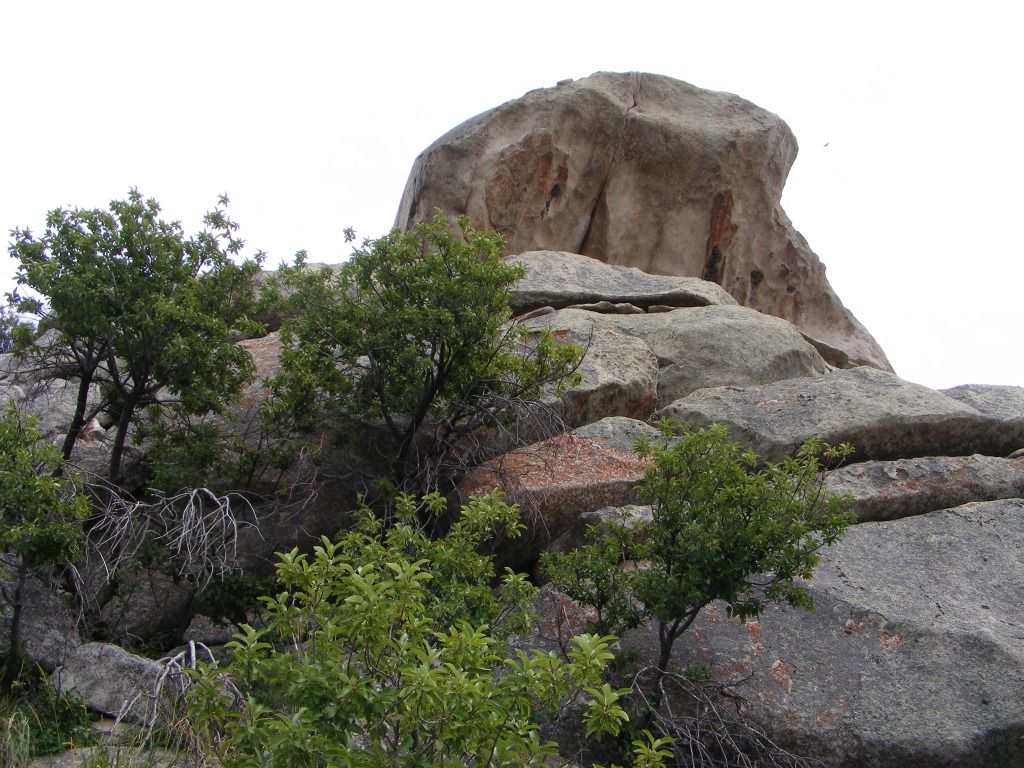
This was again an organized campground, or so we thought... there was a dirt track leading out the back side of the camp ground. we followed that till it split and dead ended. We camped at the base of a large rock outcropping maybe 400 feet high. Several caves... looked like prime mountain lion realestate.... or so I told my wife. ;)
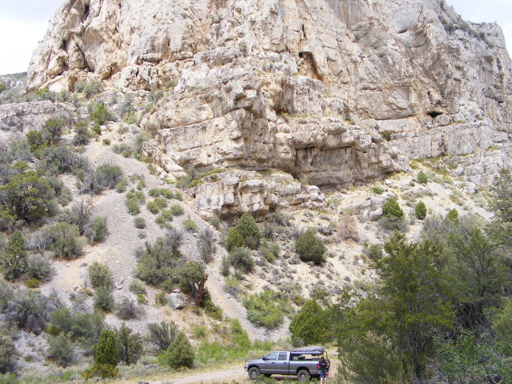
DSCF4227.jpg


DSCF4246.jpg


DSCF4231.jpg


DSCF4222.jpg


DSCF4254.jpg


We headed out the the next morning. Our destination being Thomas canyon in the Ruby Mountains. Up till now, we had stuck mainly to main paved roads and highways. This was our first chance to really get off the beaten track. We gassed up in Eli and bought 2 more stupid little bottles of propane, and headed out.
 
Last edited:

notajeep

Just me
Location
Logan
About 20 miles west of Eli we turned off the pavement north onto an unnamed road the map said would take us to Ruby Lake. This would be our lunch time stop.
The valley we travleled through was listed on the map a Long Valley... and the dirt road there was perfectly straight and mostly flat and graded... so we made some great time here.
Ruby Lake was more of a marsh than a lake for the most part. There were some DNR buildings there (fish hatchery) and some homes those employees lived in. Then there was also a small town... if you could call it that. But for being FAR away from anywhere... there were a lot of homes clustered together. The map called it shanty town. Interesting.
We passed Ruby Lake and soon turned back west again on the Star Mine road.

DSCF4256.jpg


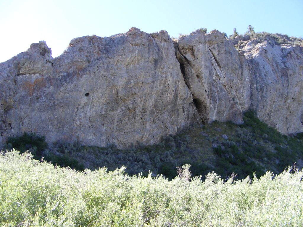
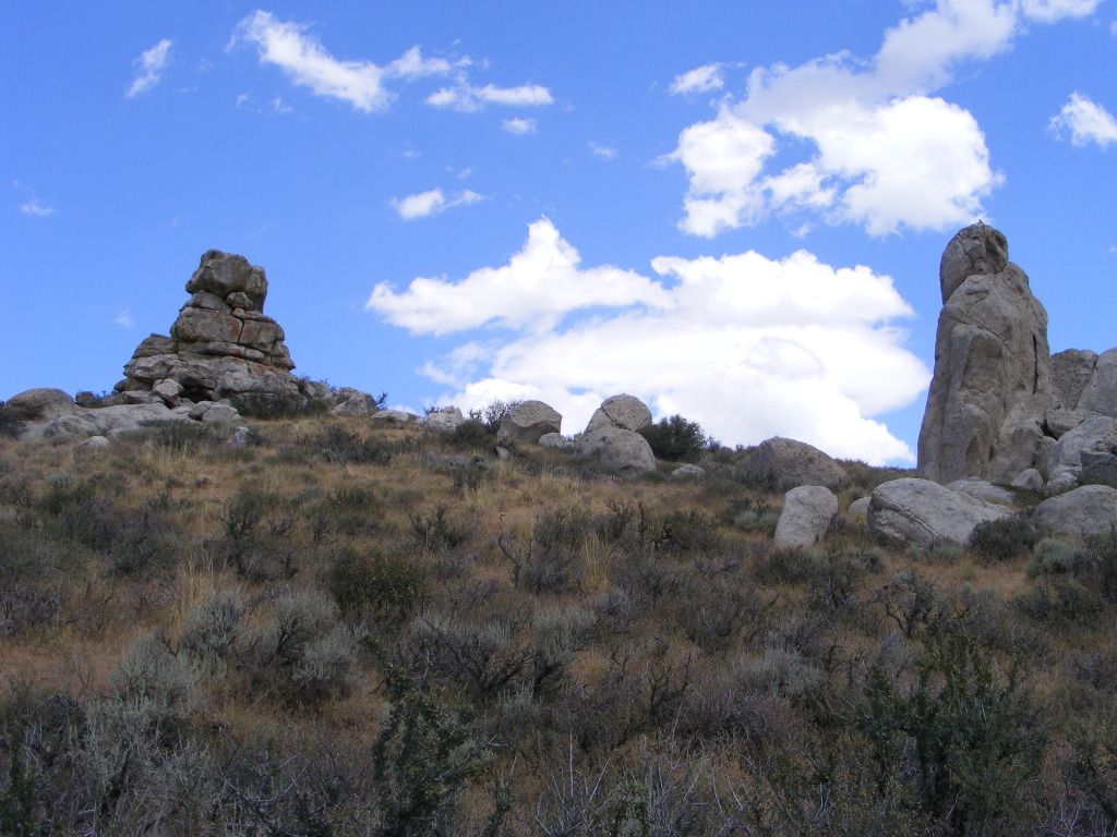
As we turned back west to cross over to the other side of the Ruby Mountain range, past the star mine. We came across some interesting rock formations where I'd had not expected to see any.

DSCF4261.jpg


DSCF4264.jpg


DSCF4275.jpg


DSCF4272.jpg
 

notajeep

Just me
Location
Logan
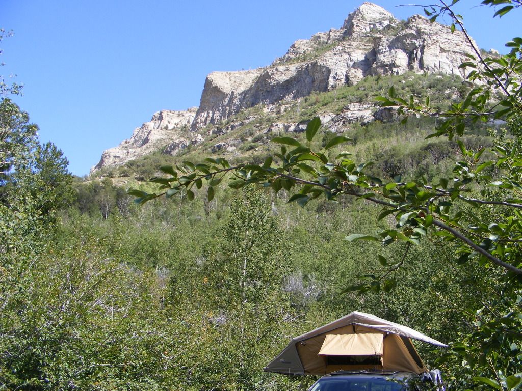
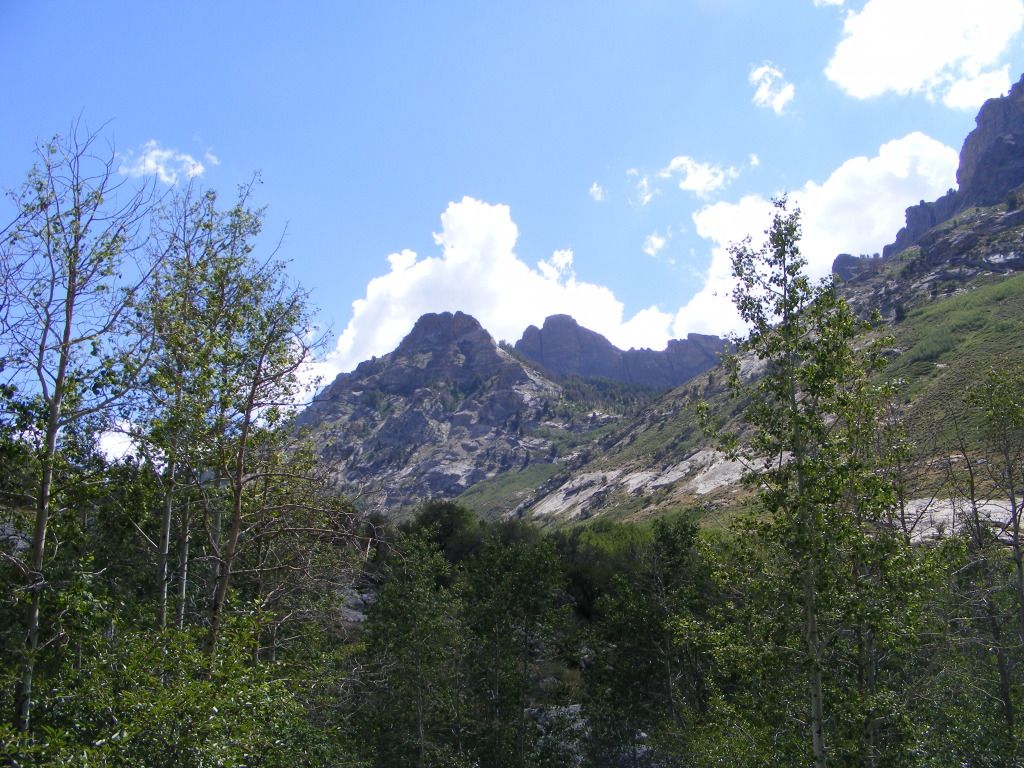
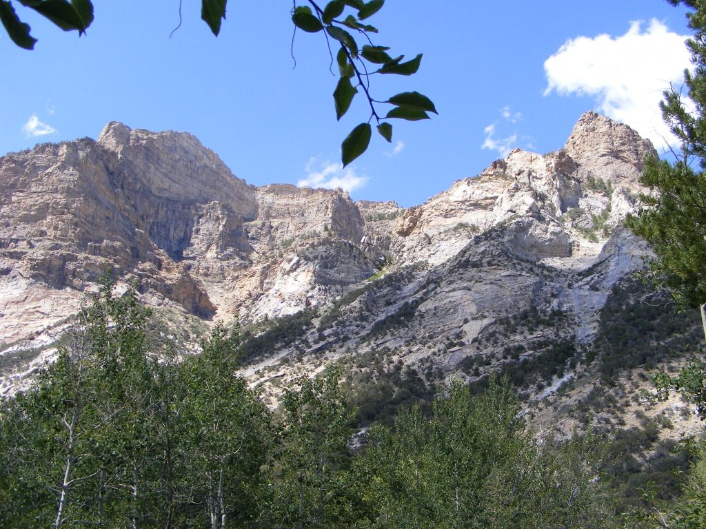
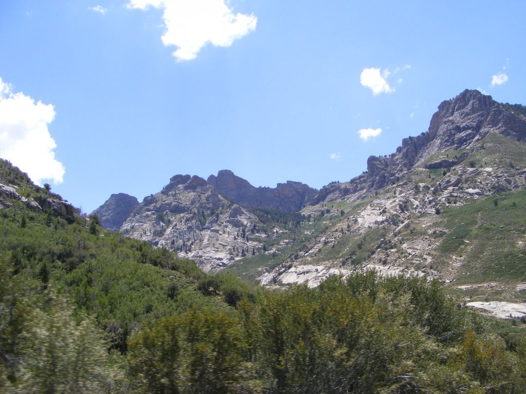
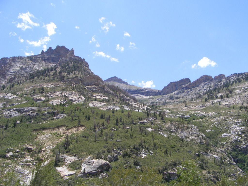
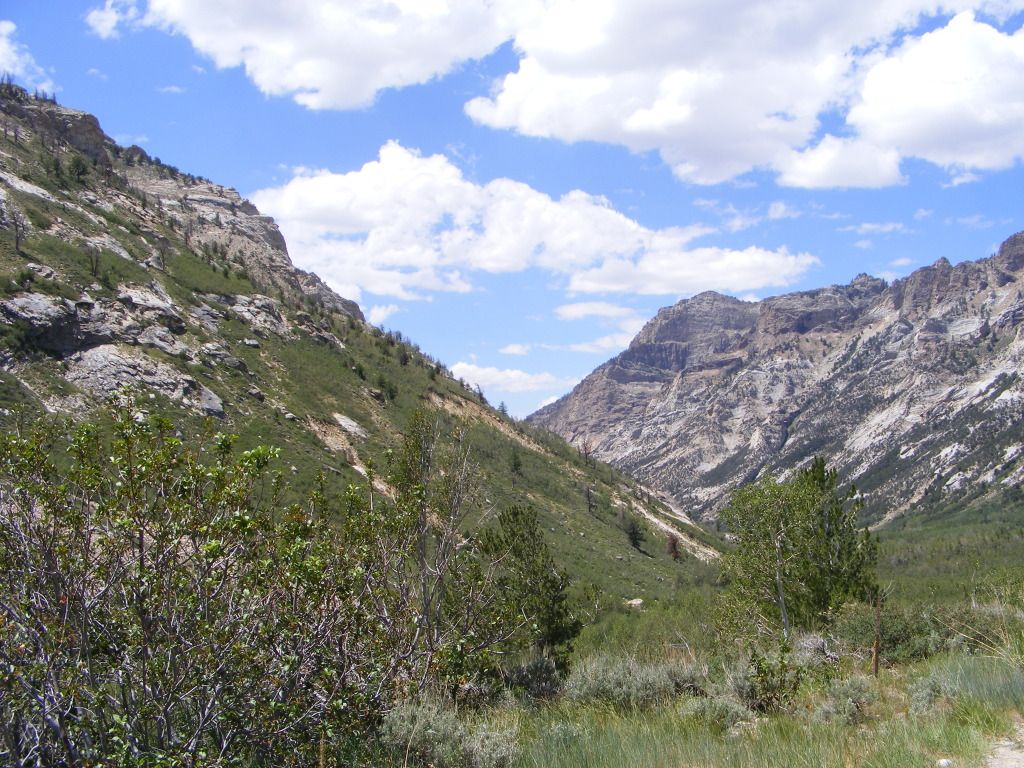
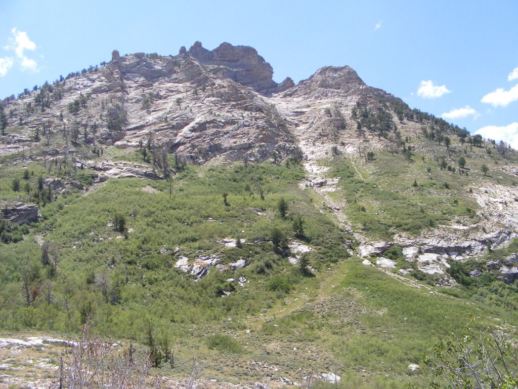
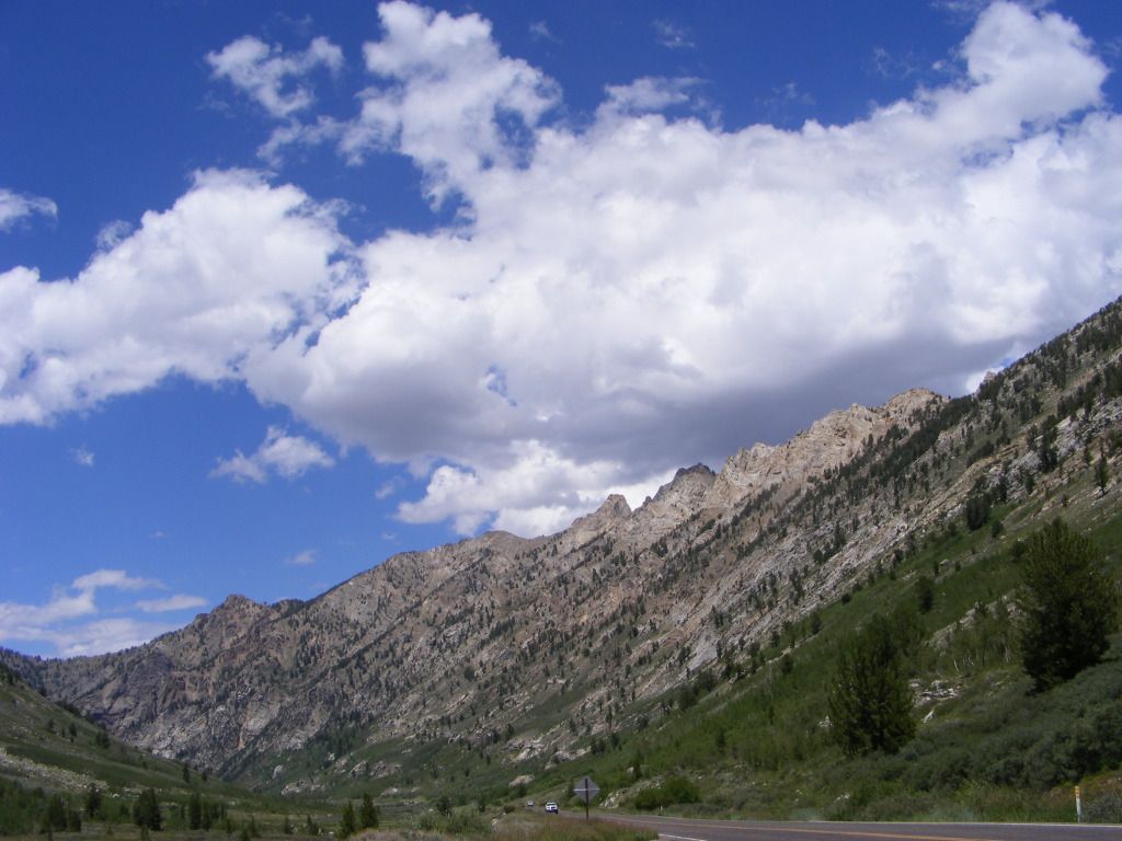
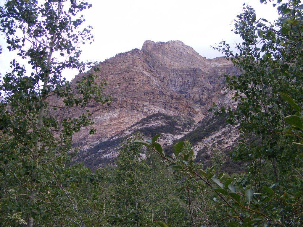
Next Stop was Thomas canyon campground up Lamoille canyon. This was again another organized campground... Grrrr... but still the views were awesome.

DSCF4303.jpg


DSCF4299.jpg


DSCF4297.jpg


DSCF4292.jpg


DSCF4284.jpg


DSCF4283.jpg


DSCF4281.jpg


DSCF4277.jpg


DSCF4318.jpg


DSCF4315.jpg


DSCF4329.jpg


DSCF4347.jpg
 

notajeep

Just me
Location
Logan
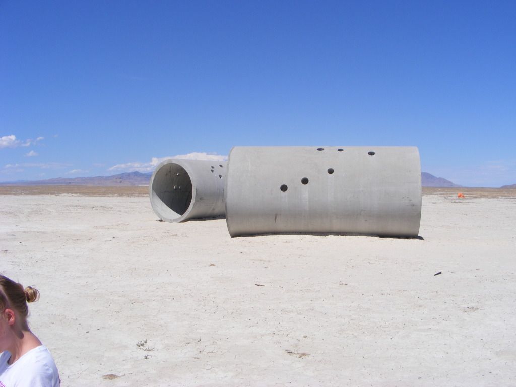
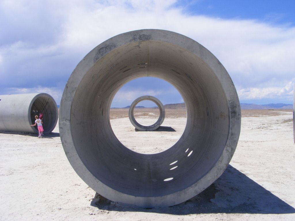
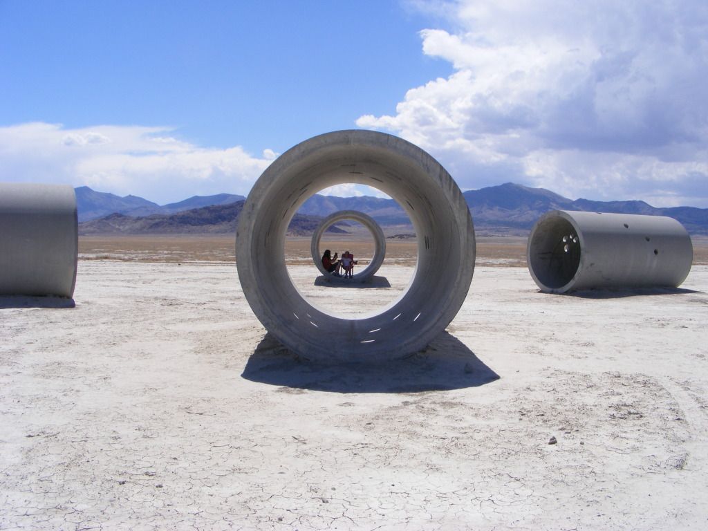
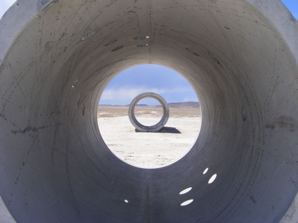
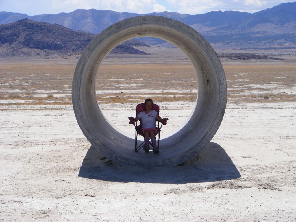
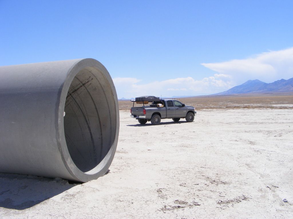
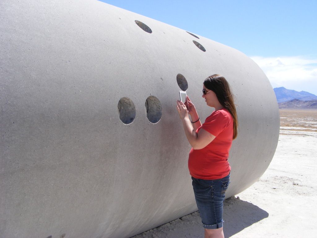
After breakfast in Thomas canyon we struck out for our longest road portion since the first day. We cut through Lamoille, then through hidden pass and by passed Deeth by taking the Starr valley road on to I80. We stopped for gas and lunch in Wells and then took hwy 233 in Oasis north back to the Utah border. We turned off the paved road again and headed to the Ghost town of Lucin Utah, then a litte further East to the sun tunnels.

DSCF4348.jpg


DSCF4350.jpg


DSCF4356.jpg


DSCF4351.jpg


DSCF4363.jpg


DSCF4366.jpg


DSCF4392.jpg


This was planned as our next over night stop.... but it just didn't seem like the place to camp for the night and we still had several hours of daylight left.
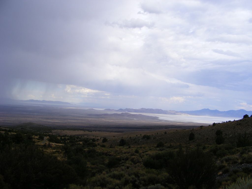
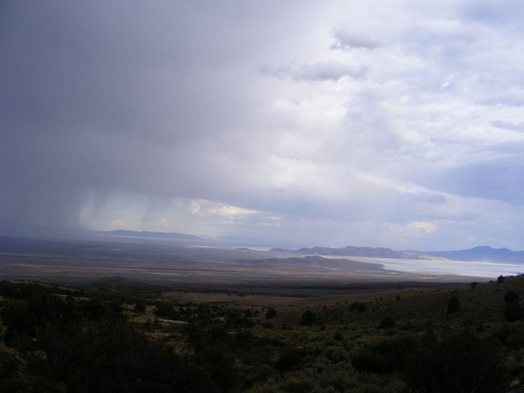
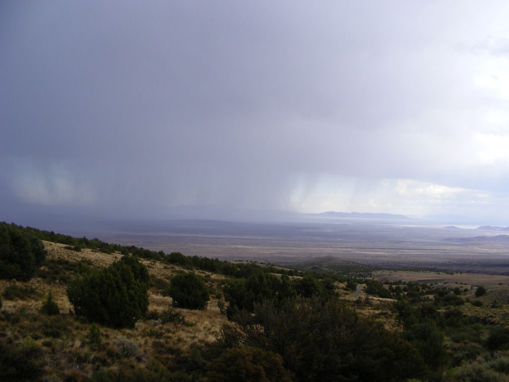
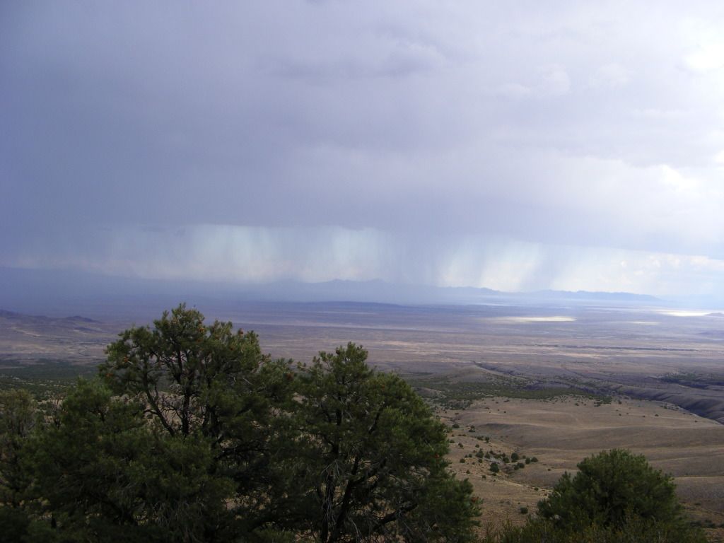
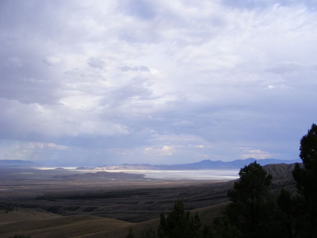
As we were still talking about leaving, a thunder storm rolled in and let loose on us and the entire valley. At that point we decided that we could be in Wendover in about 2 hours or so, so we punched that into the Garmin and let the HEMI loose.
 
Last edited:

notajeep

Just me
Location
Logan
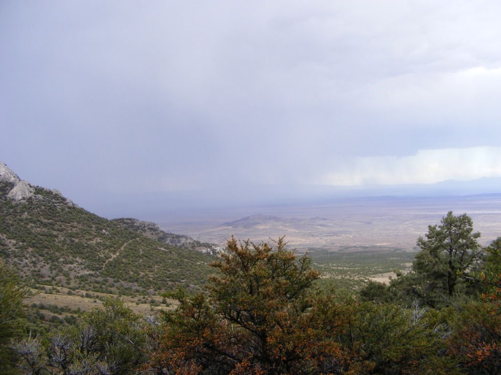
If you have ever been in Moab in the rain... this was very similar... Lots of water and the ground will not suck it up, so all the roads became instant rivers. Anything over about 10mph and the water was up over the hood. While trying to focus on the water and not getting stuck, we didn't notice that the garmin was not taking us out the same way that we had come in. But by the time that we noticed, it seemed like too far to back track, so we just went with it. We passed a sign that said Govener's Spring and then we started climbing. First 4wd... then low range... and then we were here...

DSCF4395.jpg


DSCF4397.jpg


DSCF4398.jpg


DSCF4401.jpg


DSCF4402.jpg


DSCF4409.jpg
 

notajeep

Just me
Location
Logan
The rain had let up and were were going slow up some switchback to cross some unknown mountains, and we started to notice things.

DSCF4406.jpg


DSCF4407.jpg


DSCF4417.jpg


DSCF4415.jpg


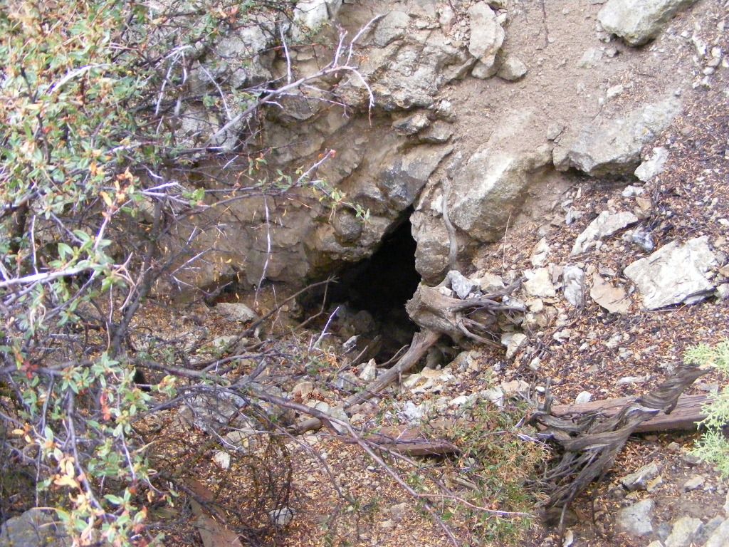
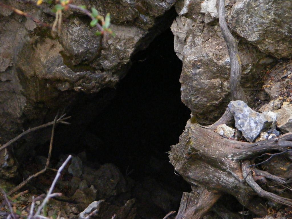
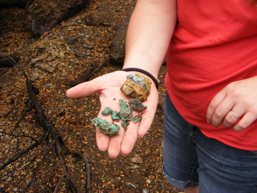
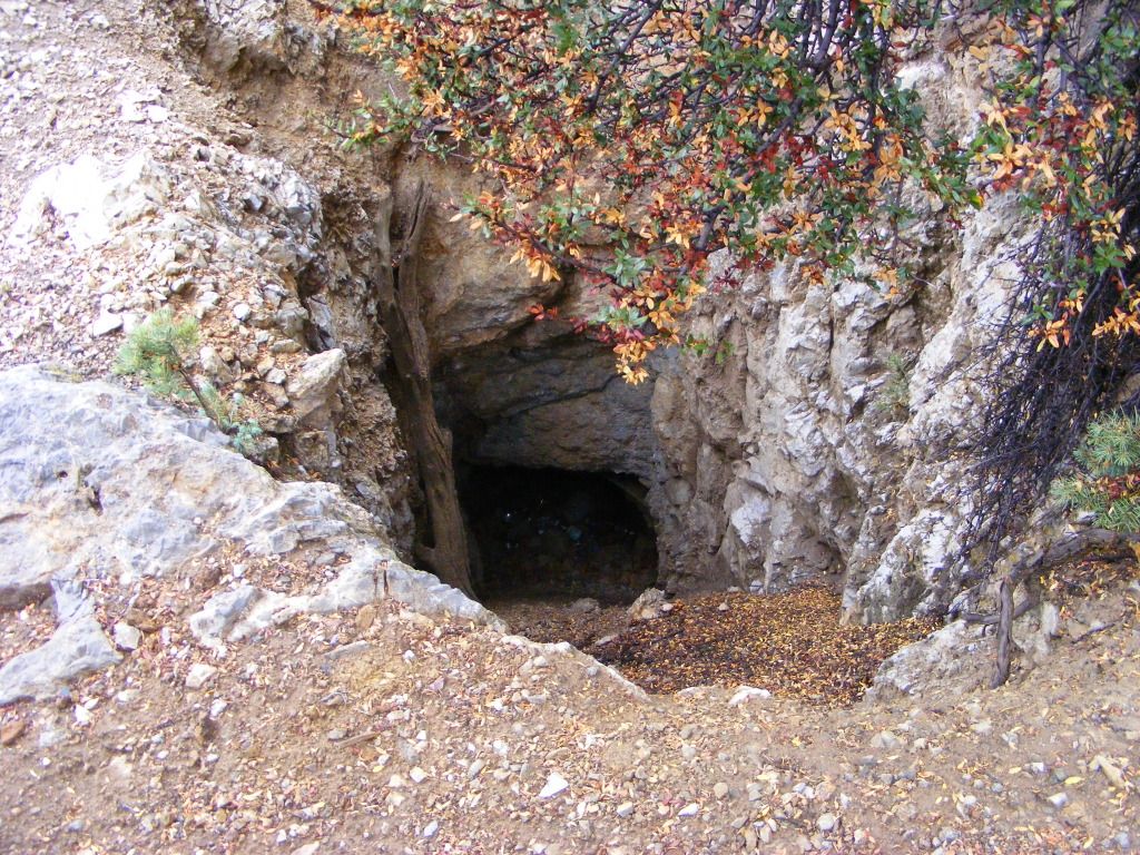
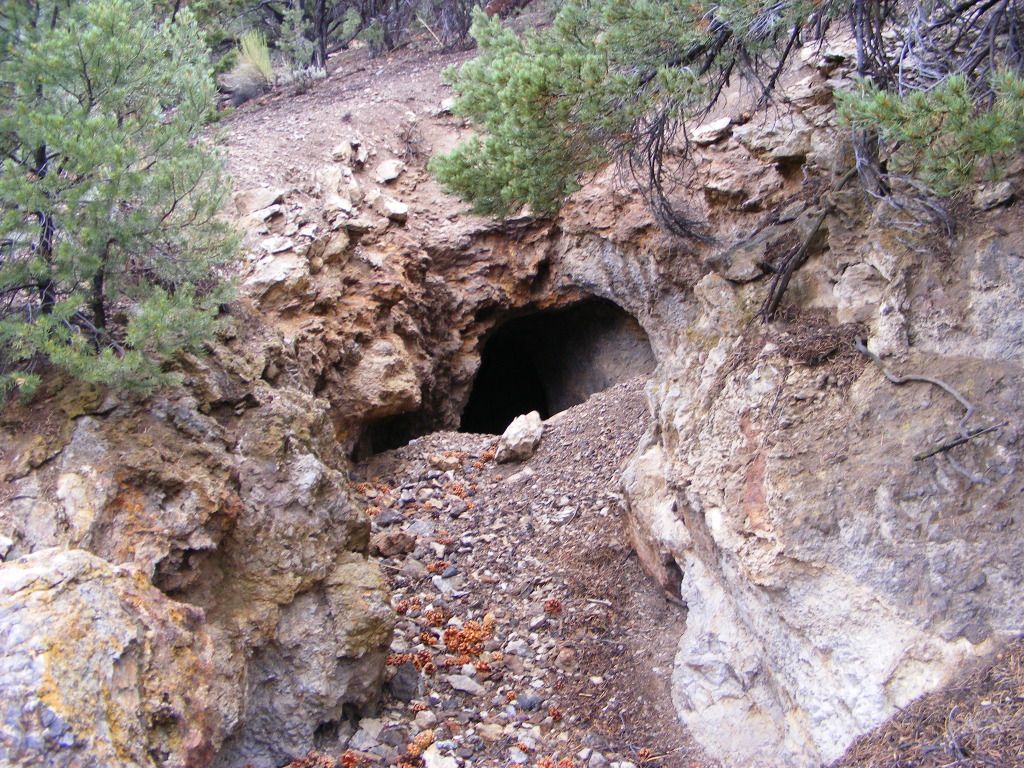
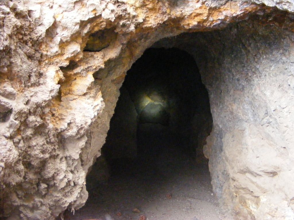
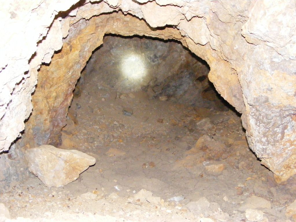
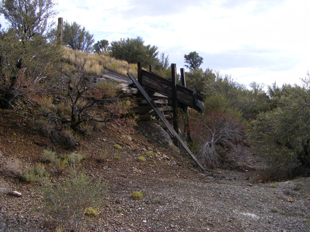
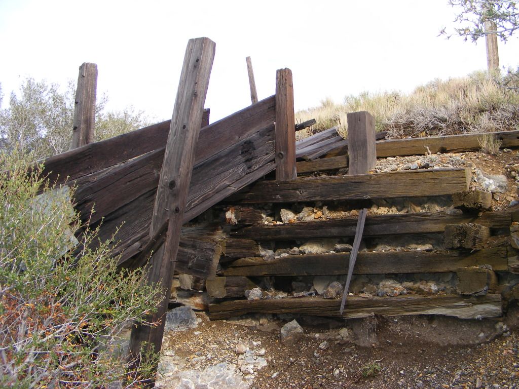
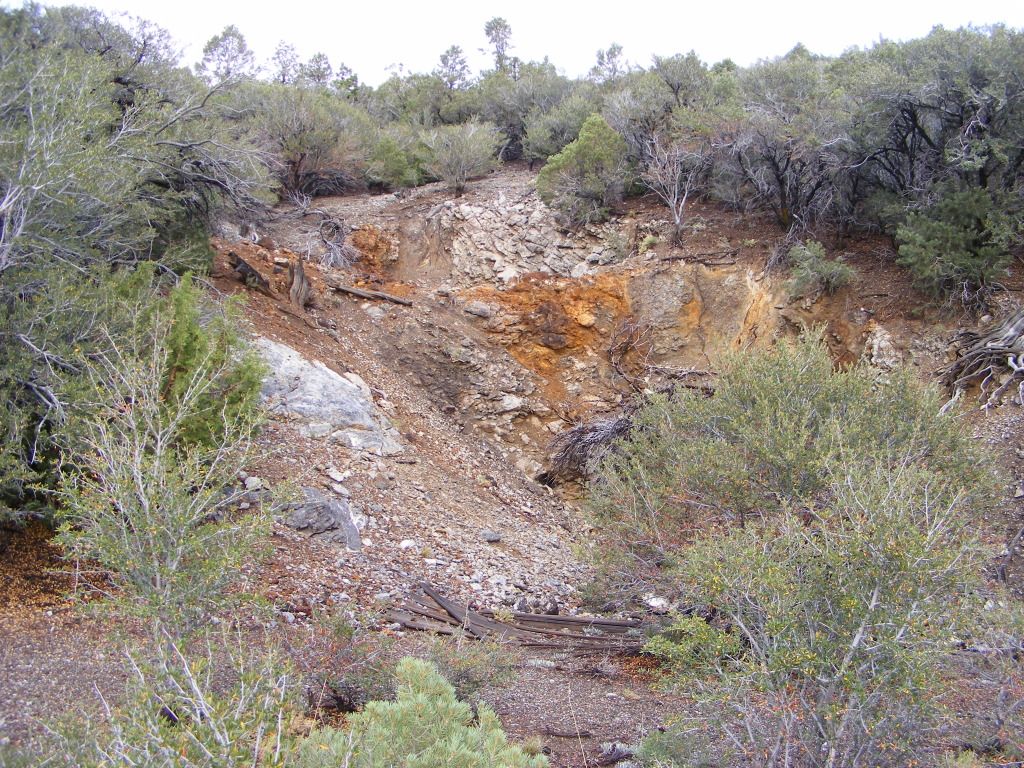
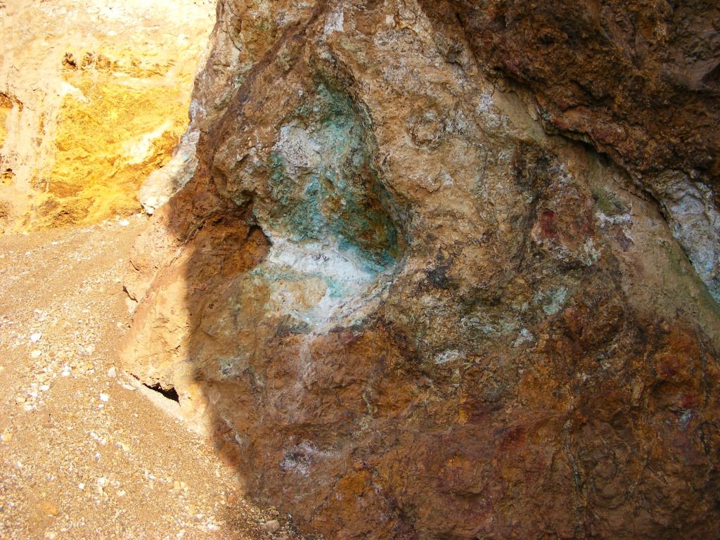
This was some sort of mine shaft... or air shaft... I don't really know. And all around there were these little green stones.... really light and some of them felt more like plastic than rock.

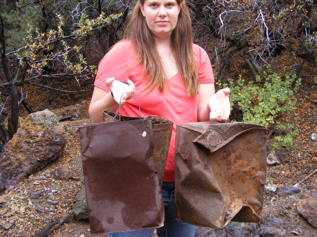
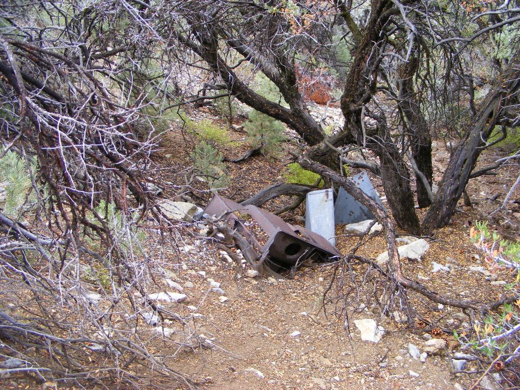
There was other assorted stuff around this shaft as well.

DSCF4420.jpg


DSCF4424.jpg


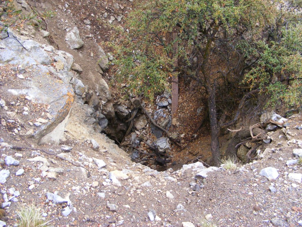
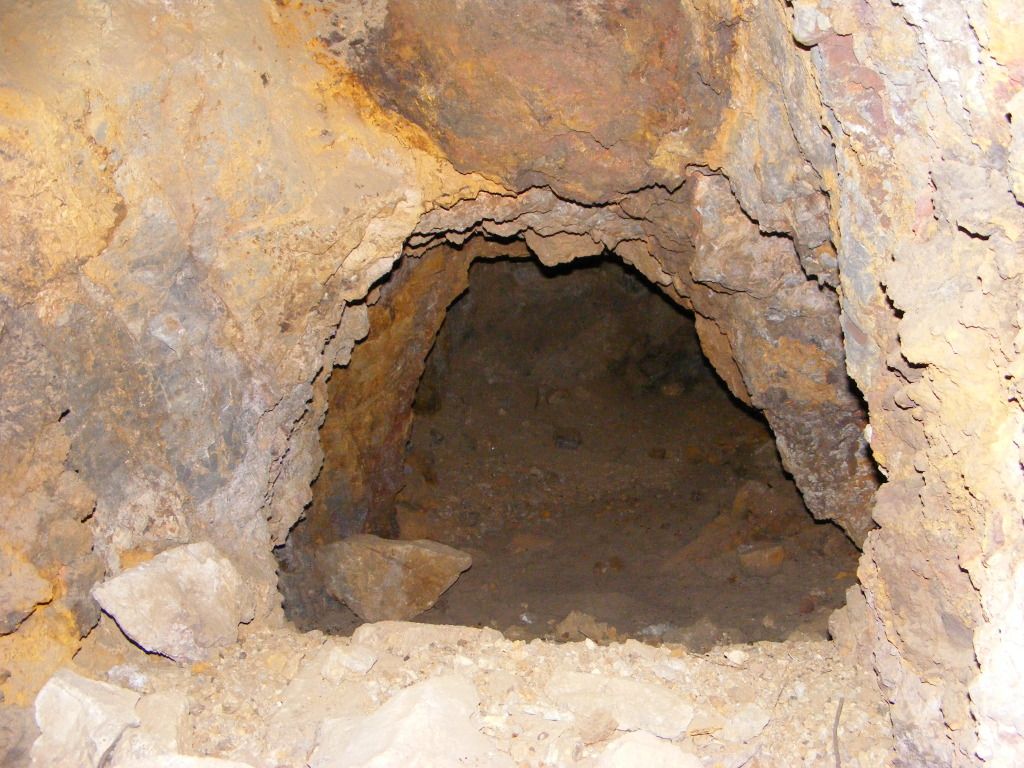
This was the next one that we happened on, it just had a bunch of garbage and bottles in the bottom.

DSCF4428.jpg


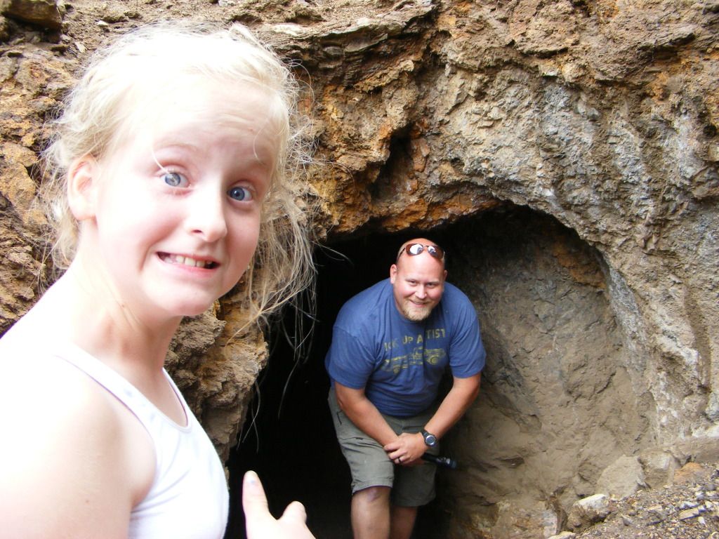
A few hundred yards and a switchback later, we found the largest so far. I could easily walk into it. about 20 feet in, it split into 2 smaller shafts, one going up and the other down.

DSCF4431.jpg


DSCF4433.jpg


DSCF4434.jpg


DSCF4438.jpg


DSCF4441.jpg
 

notajeep

Just me
Location
Logan
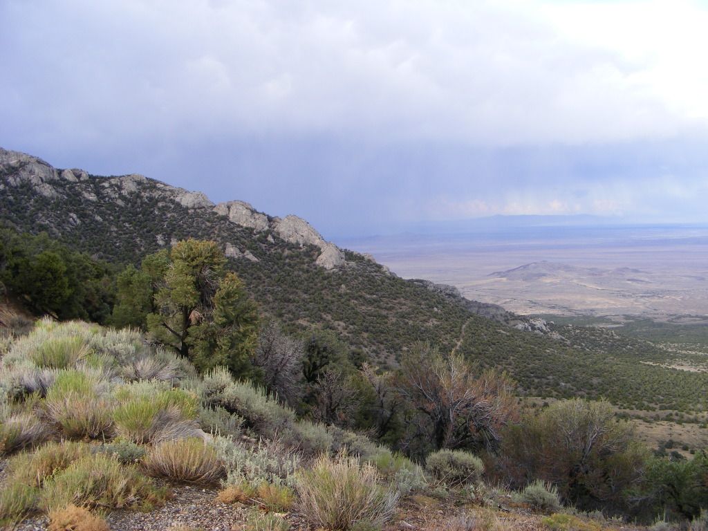
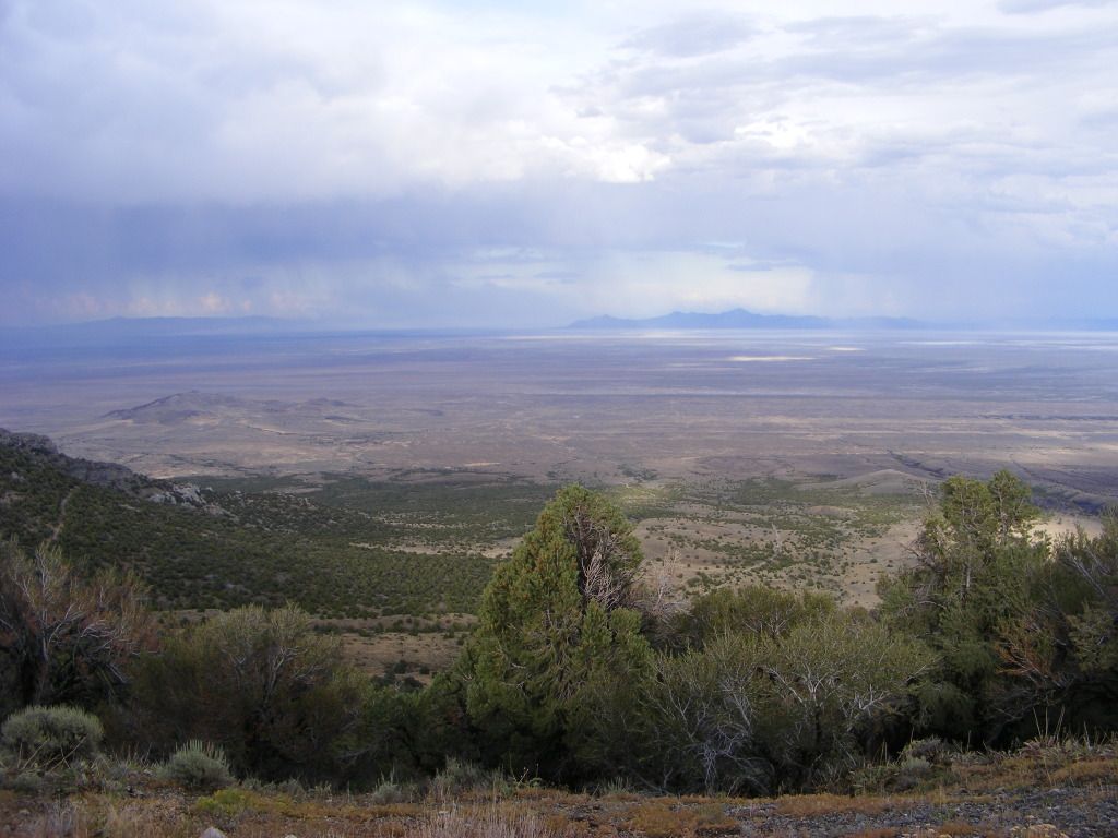
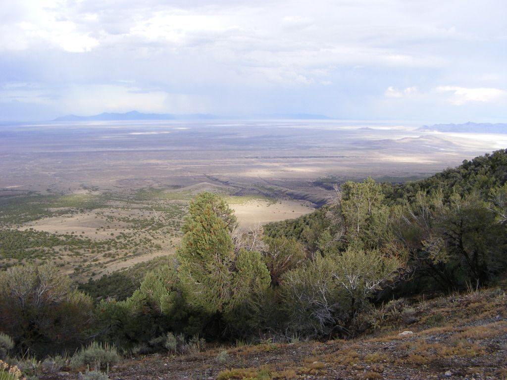
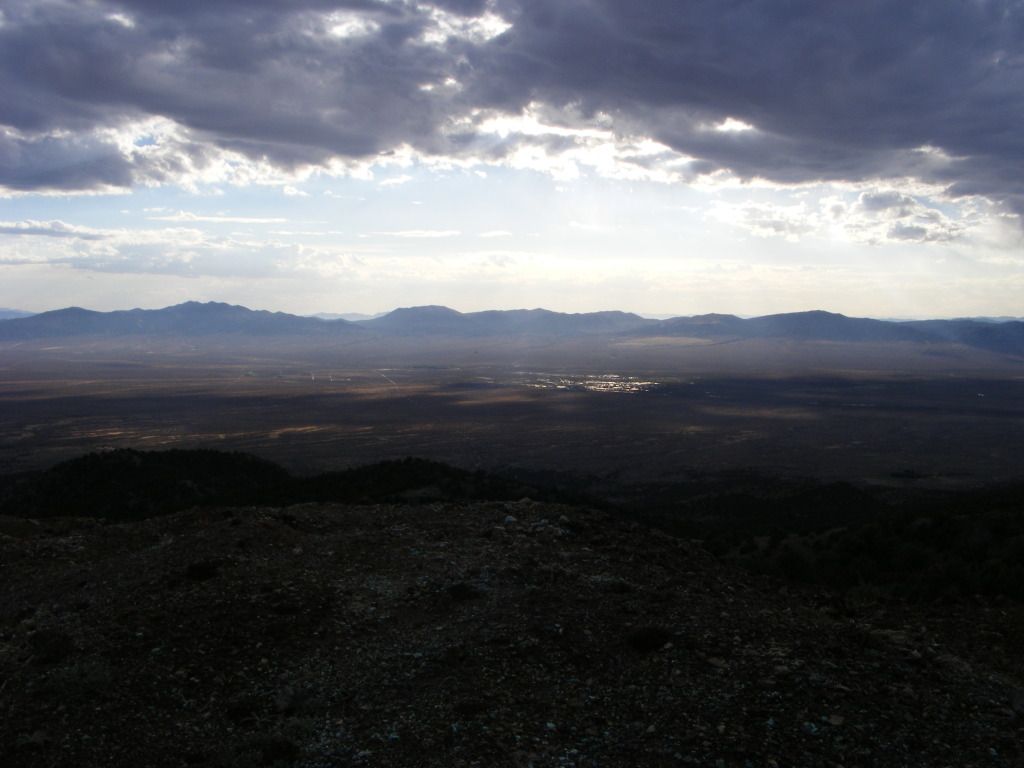
Soon we were at the top looking down to the west at the town of Montello Nv.

DSCF4442.jpg


DSCF4443.jpg


DSCF4445.jpg


DSCF4468.jpg


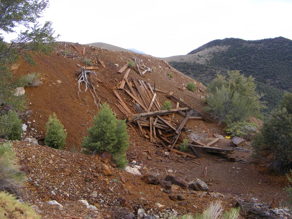
At the top there was more old mining stuff, so we had a look around..

DSCF4446.jpg


DSCF4450.jpg


DSCF4459.jpg


DSCF4467.jpg


DSCF4481.jpg


It was getting dark by this time, so we ditched our plan for Wendover, and decided to stay at the top of this mountain, setting camp in an old quarry.

DSCF4490.jpg
 

notajeep

Just me
Location
Logan
In the morning after a breakfast of cinnamon rolls in the camp chef oven, we broke camp and headed down the West side of the mountain. This trail was a bit rougher then the other side with some larger rocks and ledges. But got the Dodge down and out. we came out in the city (yeah right) of Tecoma. Back on 233 we crossed the Utah border again and headed north to Grouse Creek, then east to Lynn.
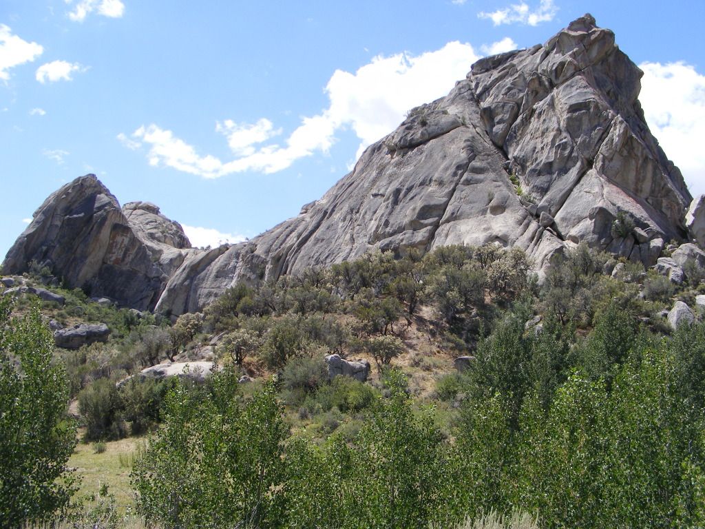
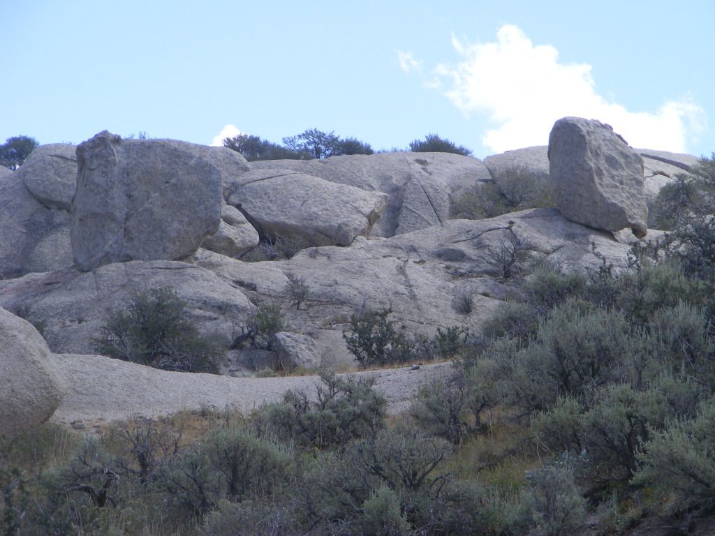
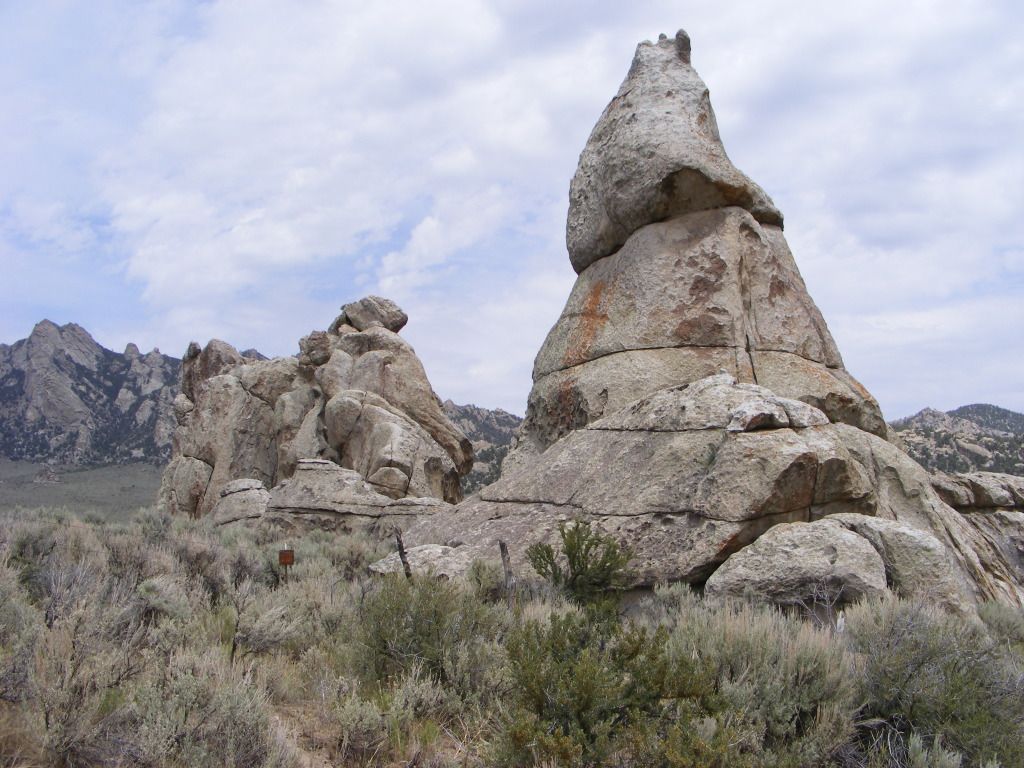
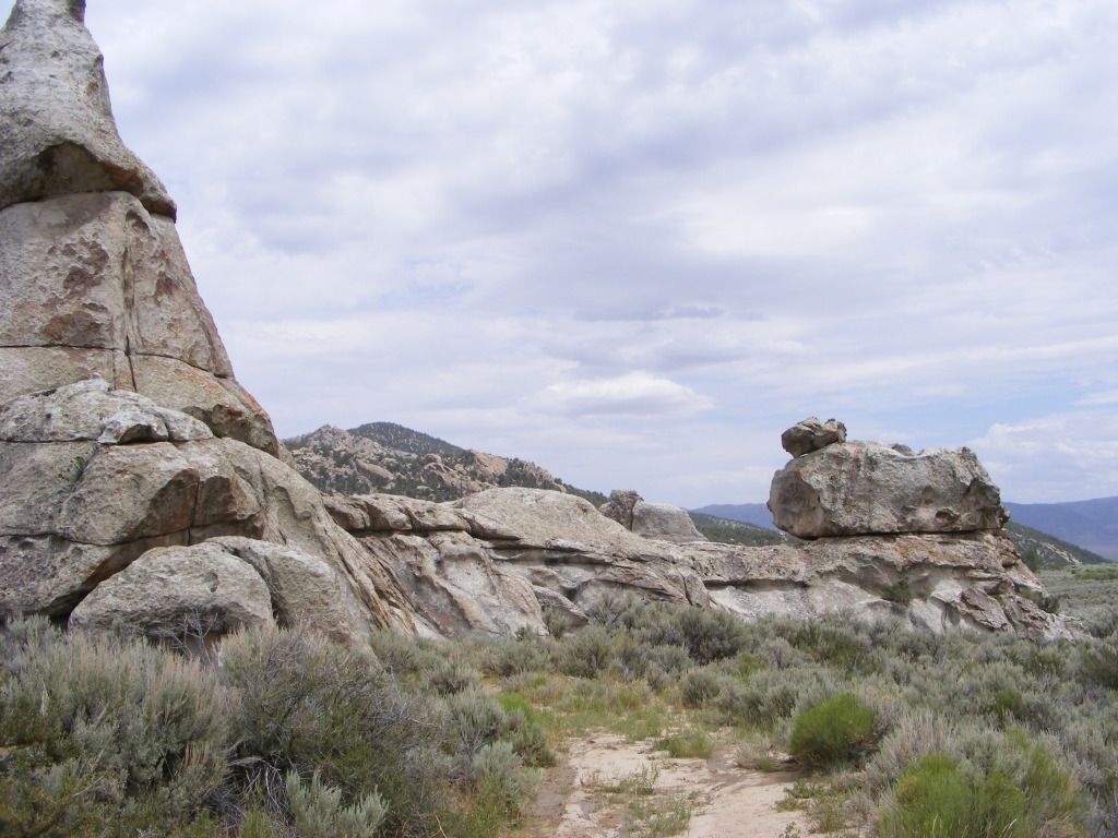
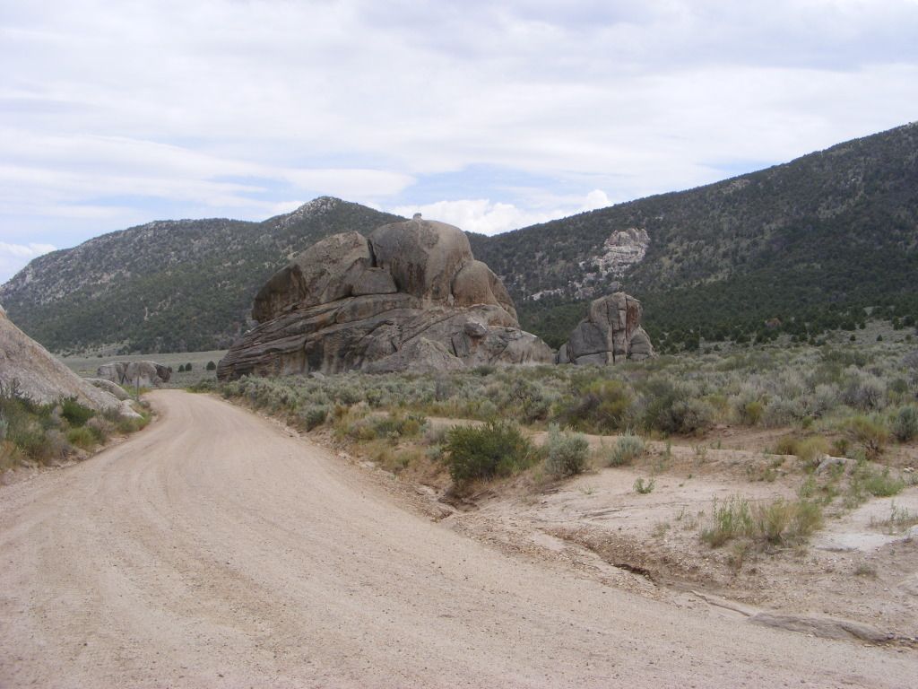
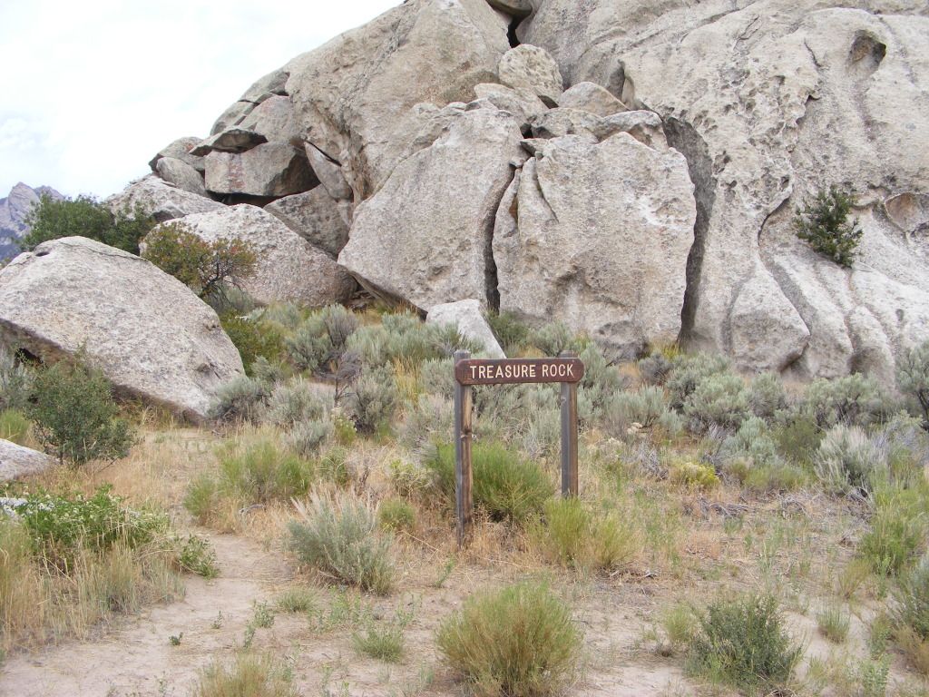
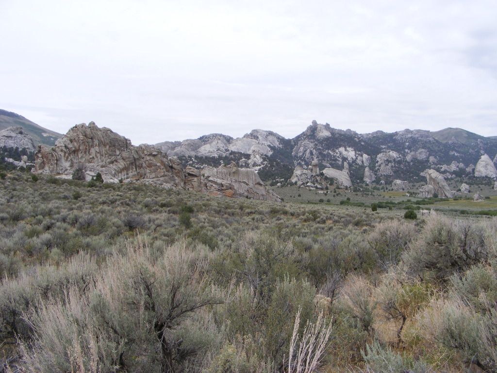
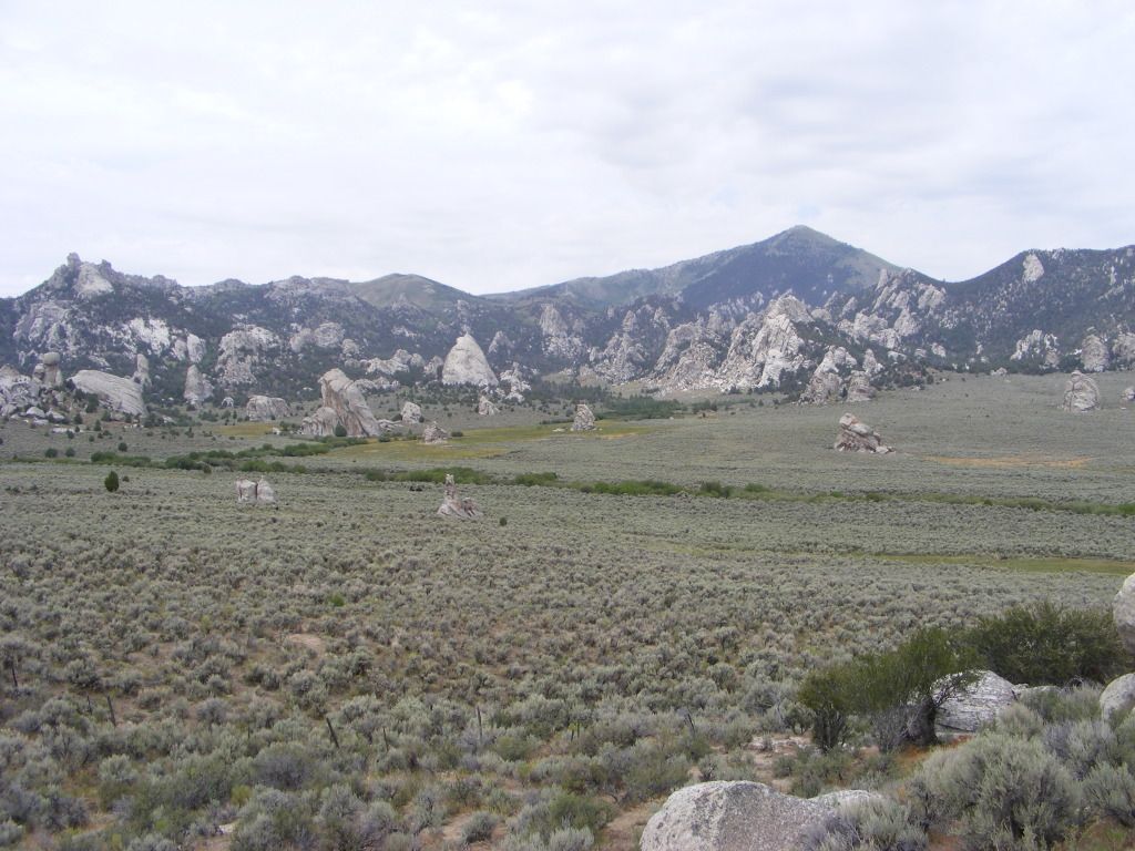
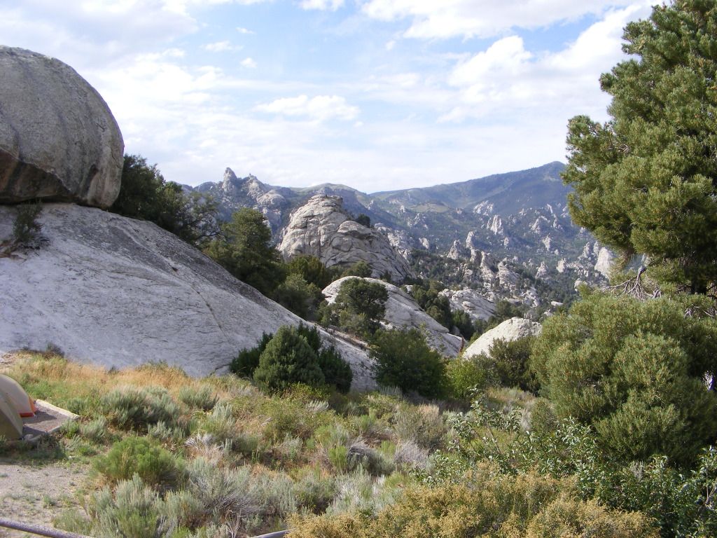
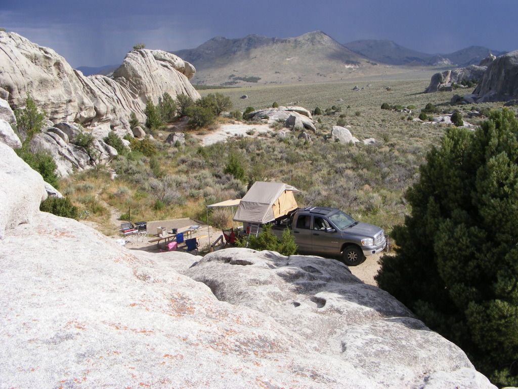
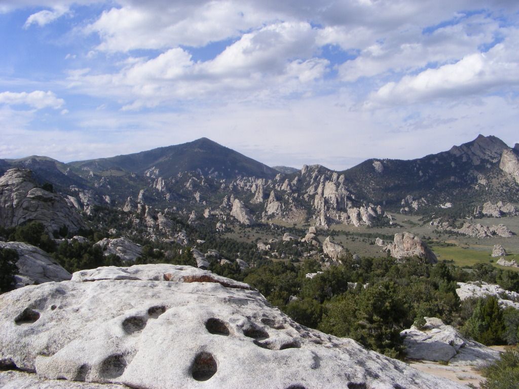
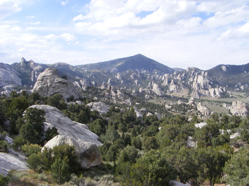
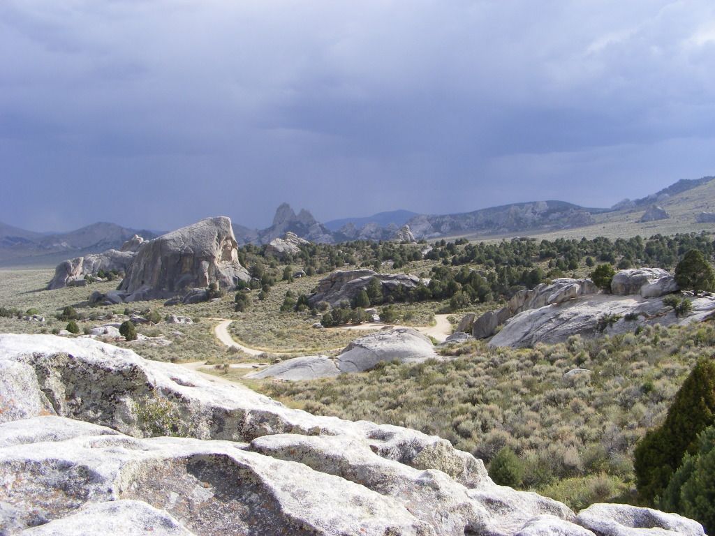
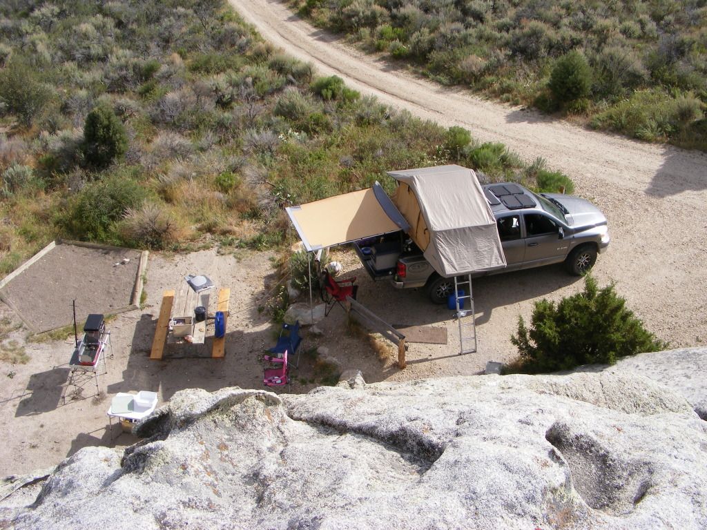
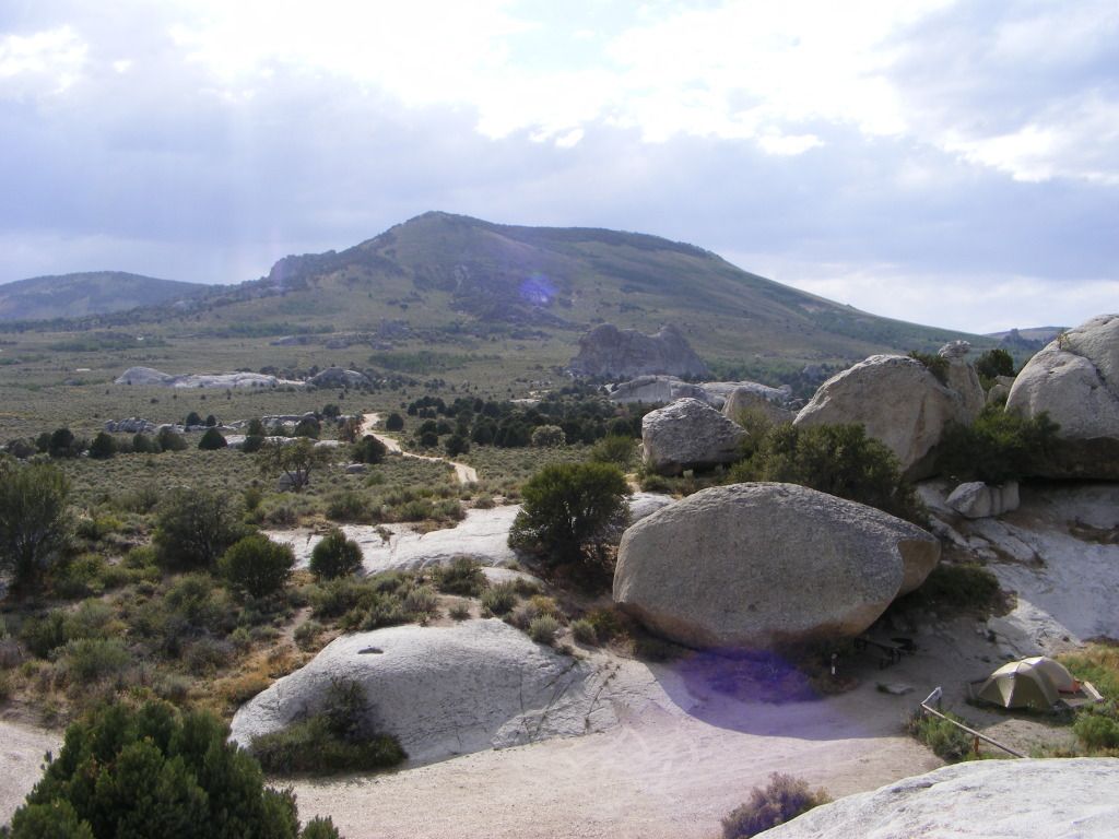
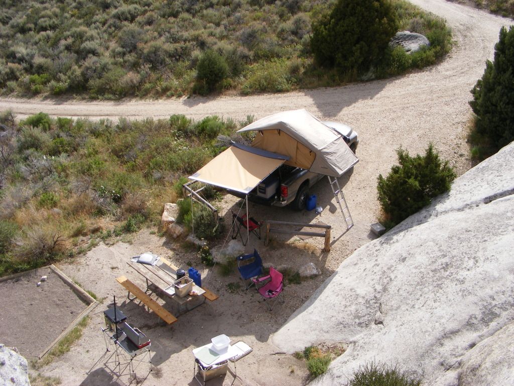
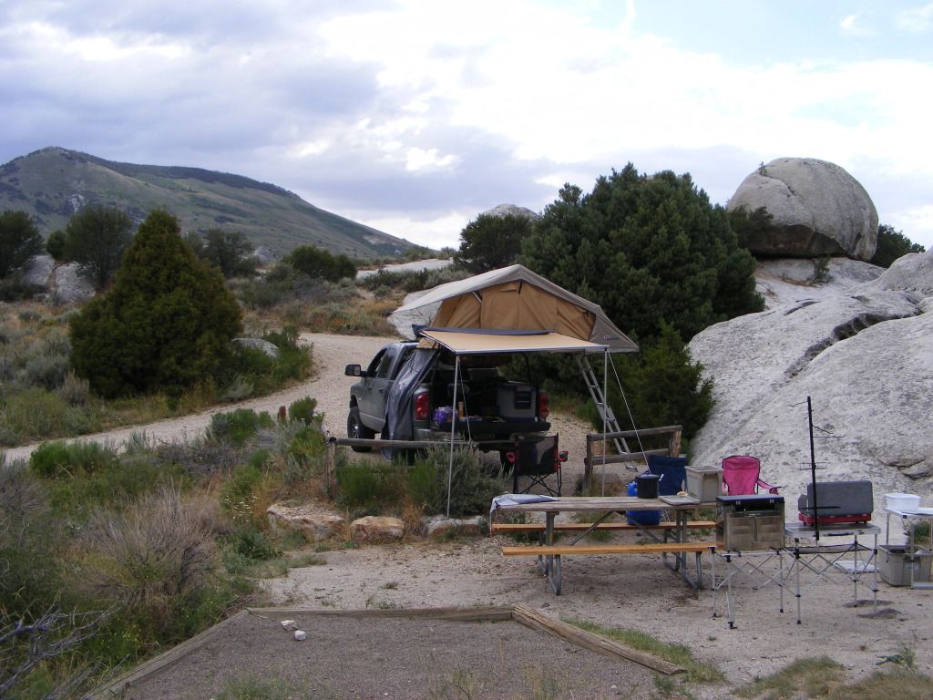
From there we crossed North into Idaho and the City of the Rocks for our last overnight stop.
This is one of my favorite places... Always amazed by the natural beauty of this place.

DSCF4491.jpg


DSCF4492.jpg


DSCF4498.jpg


DSCF4501.jpg


DSCF4502.jpg


DSCF4508.jpg


DSCF4509.jpg


DSCF4515.jpg


DSCF4518.jpg


DSCF4519.jpg


DSCF4521.jpg


DSCF4523.jpg


DSCF4525.jpg


DSCF4528.jpg


DSCF4529.jpg


DSCF4537.jpg


DSCF4549.jpg
 

notajeep

Just me
Location
Logan
As always the ARB tent, awning and fridge worked flawlessly. It was a great trip.
All done, we covered 1057 miles. About 400 of those on dirt.
 
Last edited:
Greg

I run a tight ship... wreck
Admin
Dan, that is a great way to remember your deceased daughter, very cool way to bring your family together!

Love the report, looks like you hit some great places. The Great Basin has been at the top of my lists of 'must see' travel places, looks like it won't disappoint when I finally make it there! Thanks for sharing.
 

ricsrx

Well-Known Member
Great trip, thanks for sharing, i think i would have burned up alot of time climbing and hiking on all the rocks and hills.
 

notajeep

Just me
Location
Logan
Thanks everyone. This was an awesome trip that led us through a lot of different areas and scenery. I will for sure be going back to all the places that we visited, with maybe the exception of Cave Lake. Thomas Canyon was just amazing. And it is well with in day trip mileage of Wendover.
 

DAA

Well-Known Member
Supporting Member
Love it, love it, love it!

My favorite part was the "bonus" trip over Copper Mountain and the mines up there. Been a million years it seems like since I was up there. Those rocks you picked up are called "peacock rock", very common around old copper mines (and gold mines too...).

- DAA
 
Top