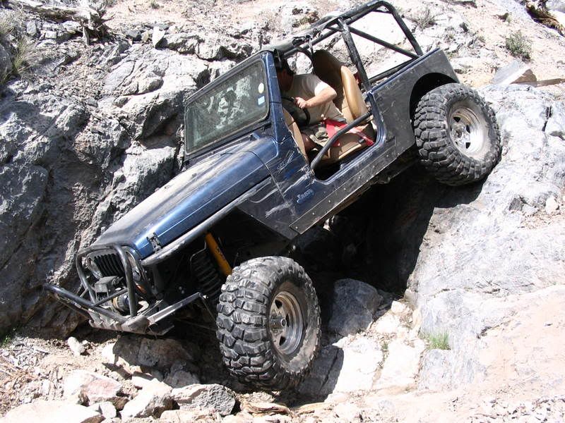
were are these guys wheelin

Rot Box

Diesel and Dust
Supporting Member
Location
Smithfield Utah
Looks like Constrictor and the Snakes too me :rofl:

Krazzle in the Disco is a member here... Haven't seen any posts from him in awhile though.
 

Rot Box

Diesel and Dust
Supporting Member
Location
Smithfield Utah
Good point I guess I didn't pay that much attention. They have to be in or around that area... They might be older vids taken at the other snakes trails that are no longer legal is my guess.
 
I think all three vids pointed out are on the same trail.

I know this one (rover on its side):

http://www.youtube.com/watch?v=vVJNS7qamtM

is from Anaconda, the cousin to Copperhead. Accessible by Kiel's trail, Trouser Snake.

But as cruiseroutfit mentioned, the routes are existing but not designated. So no longer legally passable under the new RMP. Would be great to get these (and other) routes in the area designated, but a big project.
 

UNSTUCK

But stuck more often.
So what's the story on these "other" trails? From the reading, I guess they are in 5 mile pass, but must be a ways away from the two open trails as they are still open. I can understand there closing if they are close to a nuclear site. How long have they been closed?

Kurt, you say it could change, what needs to happen for that?
 

GOAT

Back from the beyond
Location
Roanoke, VA
What can I say, Trouser snake was a day I will never forget

ditto

IMG_0191.jpg
 

cruiseroutfit

Cruizah!
Moderator
Vendor
Location
Sandy, Ut
So what's the story on these "other" trails? From the reading, I guess they are in 5 mile pass, but must be a ways away from the two open trails as they are still open. I can understand there closing if they are close to a nuclear site. How long have they been closed?

Kurt, you say it could change, what needs to happen for that?


Nuclear site?

Getting things done would require a group of individuals willing to work with the BLM to get old trails added onto an older route inventory that will be used to form a new RMP. Clear as mud? Basically the BLM never had any GPS data of these routes and other when they started their RMP process (nearly 10 years ago) and thus they can't even include them in their alternatives. It may or may not be too late to add them but regardless will take some serious effort to get them on a map, starting with identifying any other land owners that may have claims to the property, etc. This is basically a Coyote Canyon situation.
 
Top