- Location
- Sandy, Ut
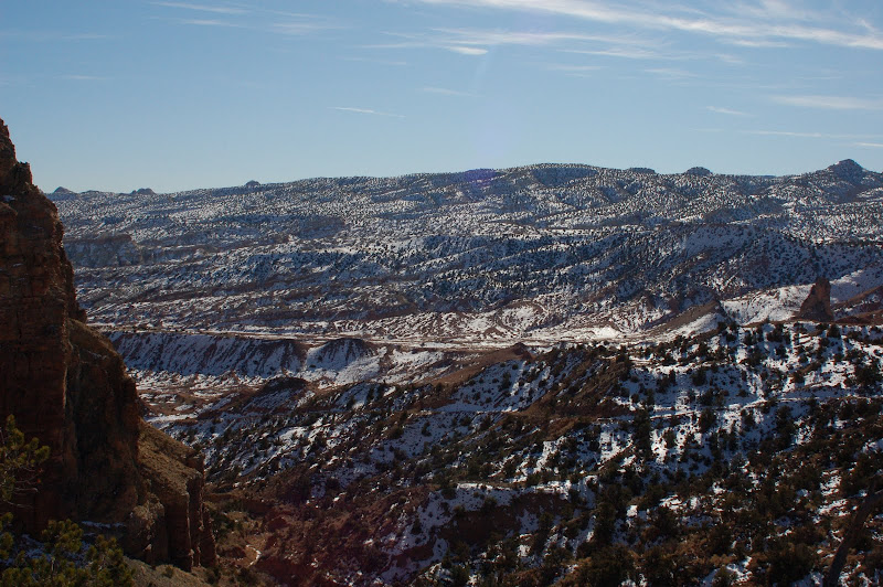
Hmm. Not for certain, but it looks a little bit like the Bentonite Hills on the Cathedral Valley Road.
About the same latitude but that is it
")
Hmm. Not for certain, but it looks a little bit like the Bentonite Hills on the Cathedral Valley Road.
NS Trail on the hill east of Salina.
Curt, you were closest... have at it.
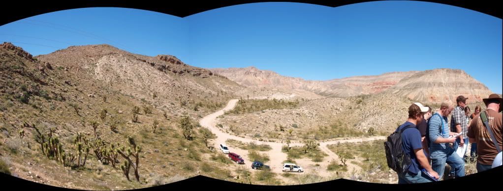
Cedar pocket...or at least a I think that is what it's called. Between St. George and Mesquite in the virgin river canyon.
I camped there once on my way to the Whitney Pockets and was just running super late.
You're up.Cedar pocket...or at least a I think that is what it's called. Between St. George and Mesquite in the virgin river canyon.
I camped there once on my way to the Whitney Pockets and was just running super late.
#550
Looks like somewhere outside of Price.
Upper Cathedral Valley area?