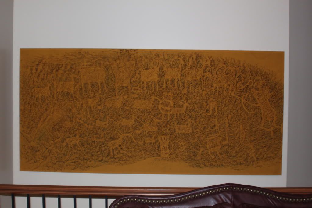
- Location
- Grand Junction, CO
kinda looks like the yellow cat area
Kinda, can you get more specific?
kinda looks like the yellow cat area
Kinda, can you get more specific?
i'm thinking the northern end coming from dome plateau, towards hwy 6
am i close?
That's out in the Delores Triangle around Buckhorn Mesa or a little east of it not too far from the Delores River.
You could have used my photo....


Not really... but kind of? I don't want to give it away, but you're in the right neighborhood.
Along or on a trail a little west of Kokopelli's Trail between the Fish Ford area and Highway 128?
You got it... it's the 4x4 route of the Kokopelli where it seperates from the singletrack route before McGraw Bottom
This pics is just South of Cisco by several miles, between Fish Ford and the Cisco Wash.
You're up!
the one area out there i haven't driven

Not Kane Creek Canyon but within 30 miles of it. View in the picture is looking westward.
Nope. The Shafer trail is within 30 miles though.It's not as simple as the Shafer trail right?
Nope.Looks like Beef Basin?
