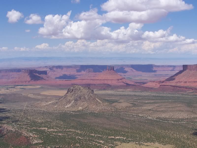
Where is this? The game...

this should be easy, bonus points if you can name the 3 mesa's in the background and the mound in the foreground :D

100_2360.jpg
 
Last edited:
Picture taken along Porcupine Rim east of Moab but not from along the Porcupine 4w Trail itself. View is northerly in direction. Picture taken near the upper Sand Flats Road several miles east of the Sand Flats Rec Area. Mound in foreground is Round Mound. Left to right are Parriott Mesa, Priest and Nuns/Castle Rock, and the outer edge of Adobe Mesa.
 
Without going off-topic alot here, can you see those mesas and the center formations along the I-15? I was heading home from California and noticed all that in the picture above from the Freeway.
 
You sir have the best eyes I've ever heard of since I-15 is 200 miles to the west of this spot. Hy 128 runs along the Colorado River which is a little green line running in the center of the picture. I-70 is about 25-30 miles north of this spot.
 
You sir have the best eyes I've ever heard of since I-15 is 200 miles to the west of this spot. Hy 128 runs along the Colorado River which is a little green line running in the center of the picture. I-70 is about 25-30 miles north of this spot.

:rofl:


and all i can think of for your pic is it was taken somewhere in the swell with temple mountain in the background. :dunno:
 
Back
Top